MyTopo
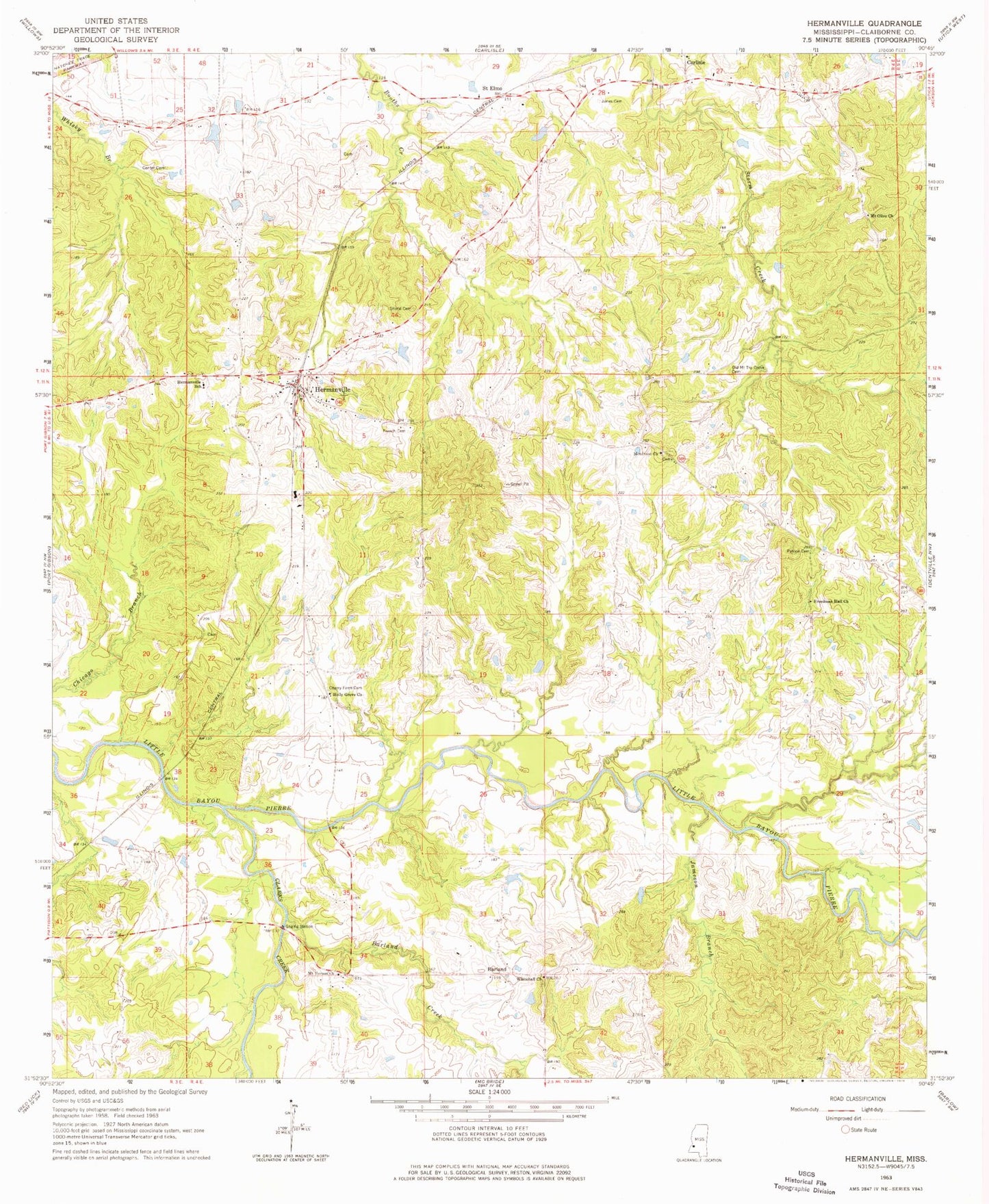
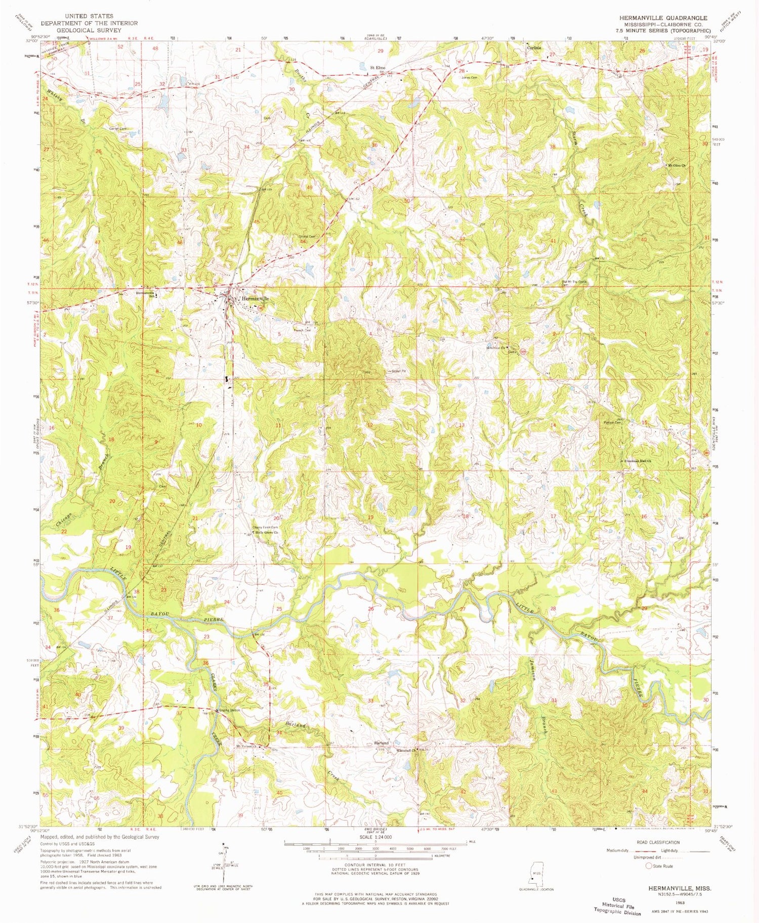
Classic USGS Hermanville Mississippi 7.5'x7.5' Topo Map
Couldn't load pickup availability
Historical USGS topographic quad map of Hermanville in the state of Mississippi. Map scale may vary for some years, but is generally around 1:24,000. Print size is approximately 24" x 27"
This quadrangle is in the following counties: Claiborne.
The map contains contour lines, roads, rivers, towns, and lakes. Printed on high-quality waterproof paper with UV fade-resistant inks, and shipped rolled.
Contains the following named places: Barland, Barland Creek, Center Cemetery, Center School, Cherry Farm Cemetery, Cherry Farm School, Claiborne County Fire Department Station 4, Clarks Creek, Cold Springs Plantation, Farm Land Company Lake Dam, First Baptist Church, First Christian Church, Freedman Hill Church, French Cemetery, Hermanville, Hermanville Baptist Church, Hermanville Census Designated Place, Hermanville Consolidated Elementary School, Hermanville Methodist Church, Hermanville Post Office, Hermanville Presbyterian Church, Holly Grove Baptist Church, Jameson Branch, Jones Cemetery, Montro Church, Montrose Church, Mount Olive Missionary Baptist Church, Mount Olive School, Mount Vernon Church, Old Mount Tro Grove Cemetery, Patona Cemetery, Pattona, Porter Lake Dam, Puckett Lake Dam, Rocky Falls, Rush Lake Dam, Saint Elmo, Saint Elmo Christian Church, Shannon Branch, Shelby, Shelby Cemetery, Shield Cemetery, Supervisor District 4, White Hall Baptist Church, White Hall Plantation, ZIP Code: 39086


