MyTopo
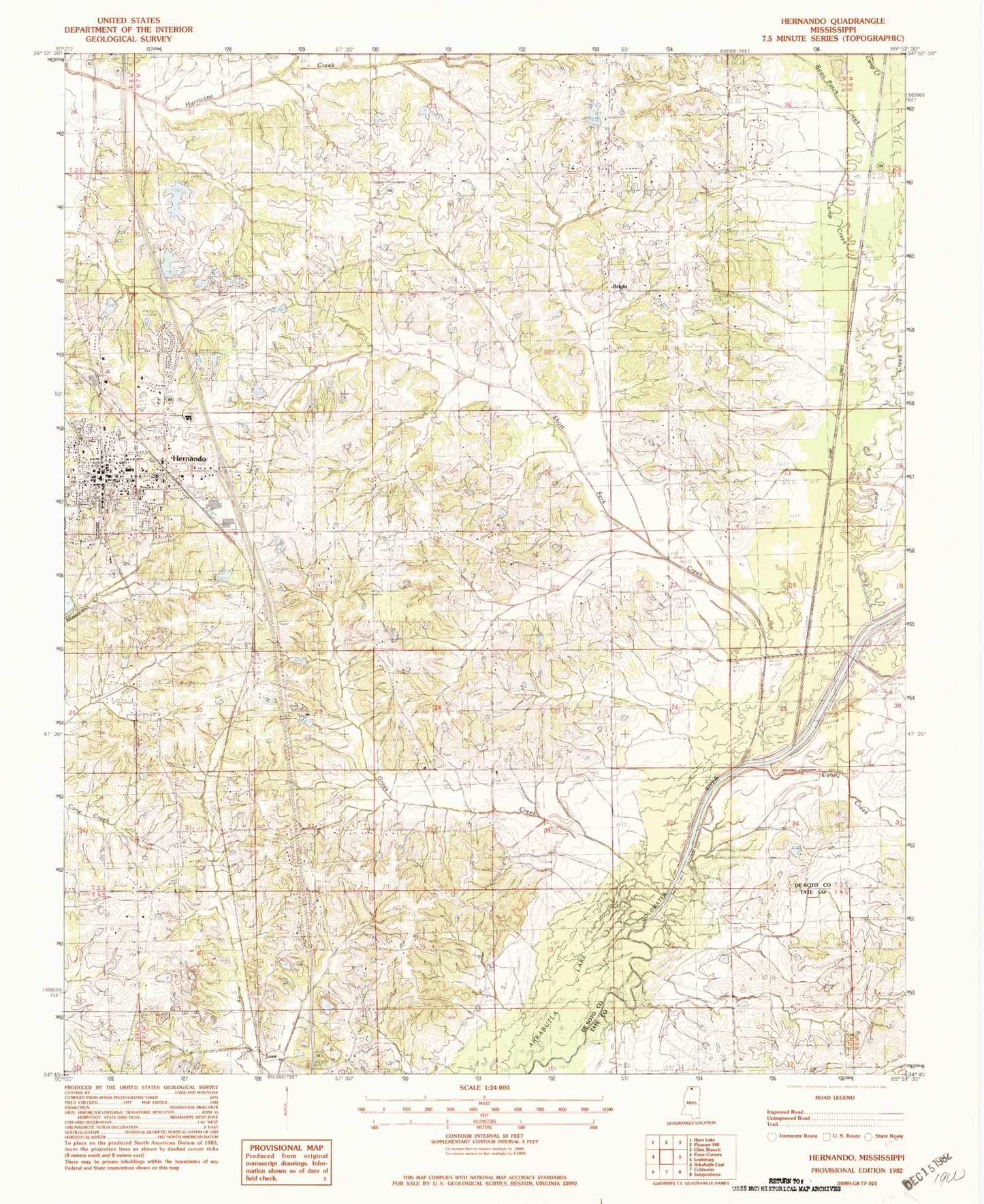
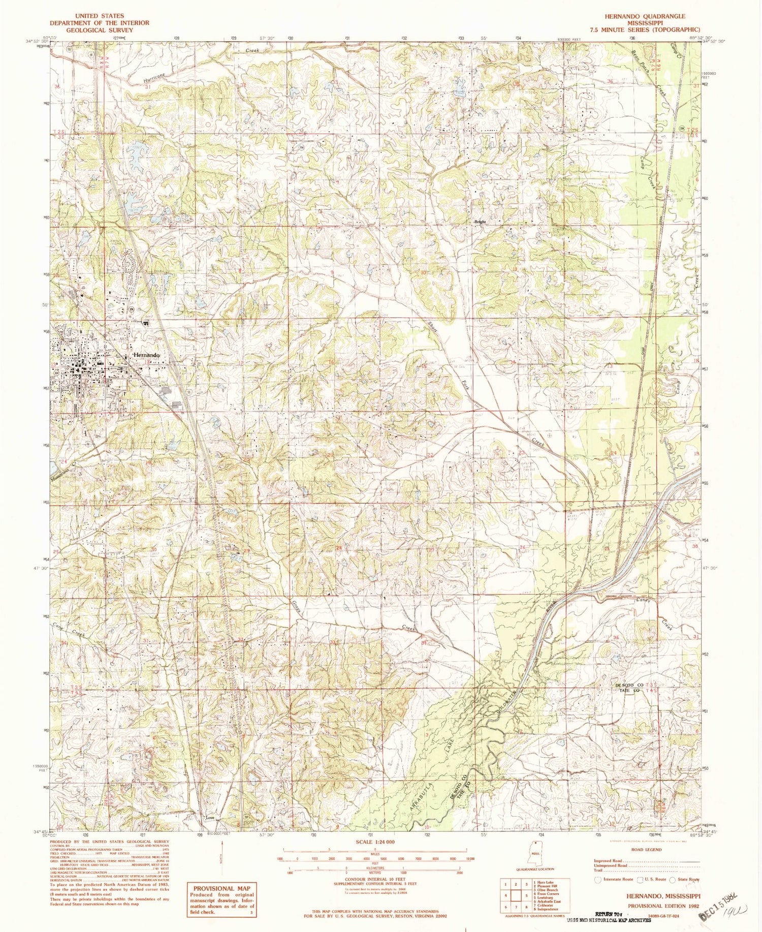
Classic USGS Hernando Mississippi 7.5'x7.5' Topo Map
Couldn't load pickup availability
Historical USGS topographic quad map of Hernando in the state of Mississippi. Map scale may vary for some years, but is generally around 1:24,000. Print size is approximately 24" x 27"
This quadrangle is in the following counties: DeSoto, Tate.
The map contains contour lines, roads, rivers, towns, and lakes. Printed on high-quality waterproof paper with UV fade-resistant inks, and shipped rolled.
Contains the following named places: Bakers Chapel, Bakers Chapel Cemetery, Bean Patch Creek, Bethlehem Cemetery, Bethlehem Church, Bright, Camp Creek, Camp Creek Canal, Caney Creek, City of Hernando, De Soto County Sheriff's Office, Dorothy Jones Pond Dam, Eagles Ridge Airport, Ebenezer Baptist Church, Enon Springs Baptist Church, Enon Springs Cemetery, Enon Springs School, Farley Cemetery, First Presbyterian Church, First Regional Library, Gateway Baptist Church, Grays Creek, Grays Creek Baptist Church, Hernando, Hernando Church of Christ, Hernando City Hall, Hernando Community Center, Hernando Elementary School, Hernando Fire Department Station 1, Hernando Fire Department Station 2, Hernando Fire Department Station 3, Hernando High School, Hernando Industrial Park, Hernando Police Department, Hernando Post Office, Hernando United Methodist Church, Holy Spirit Catholic Church, Jaybird Cemetery, Knights Cemetery, Knights Church, Knights School, Libscomb Pond Dam, Love, Love Cemetery, Love Church, Love Fire Department, Magnolia Grove, McInguale Lake Dam, McIngvale Clock Museum, Morgan Grove Church, Morgan Grove School, New Bethany Cemetery, New Bethany Church, Parkway Baptist Church, Possum Track Church, Ross Franks Pond Dam, Supervisor District 5, T Caffey Robertson Lake Dam, Tom Milan Pond Dam, W A Sanders Pond Dam, WVIM-FM (Coldwater)


