MyTopo
Classic USGS Heron Bay Alabama 7.5'x7.5' Topo Map
Couldn't load pickup availability
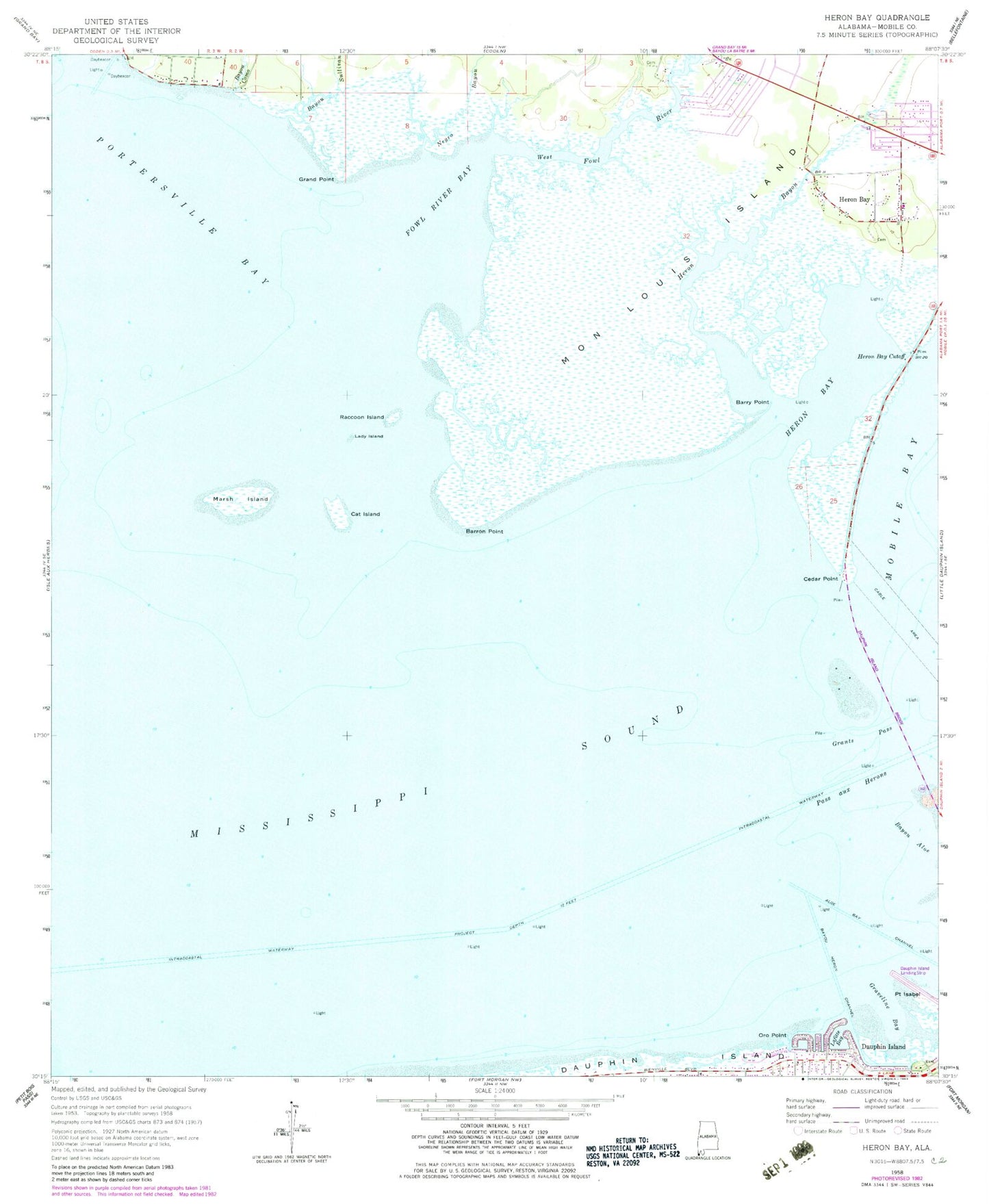
Historical USGS topographic quad map of Heron Bay in the state of Alabama. Map scale may vary for some years, but is generally around 1:24,000. Print size is approximately 24" x 27"
This quadrangle is in the following counties: Mobile.
The map contains contour lines, roads, rivers, towns, and lakes. Printed on high-quality waterproof paper with UV fade-resistant inks, and shipped rolled.
Contains the following named places: Alabama Port Volunteer Fire Department, Aloe Bay Channel, Barron Point, Barry Point, Bayou Como, Bayou Heron Channel, Bayou La Batre Division, Bayou Second, Bayou Sullivan, Cat Island, Cedar Point, Dauphin Island Bridge, Dorlon Cemetery, First Baptist Church of Coden, Fort Powell, Fowl River Bay, Grand Point, Grants Pass, Graveline Bay, Gull Island, Heron Bay, Heron Bay Cutoff, Heron Bayou, Herron Bay Church, Jeremiah Denton Airport, Lady Island, Lafitte Bay, Marsh Island, Mon Louis Island, Moore Bayou, Murder Point, Oro Point, Pass aux Herons, Pass Berron, Penalver Park, Point Isabel, Quivira Bay, Raccoon Island, Royal Lagoons Channel, Saint Mary Church, Saint Michaels Church, Town of Dauphin Island, Turtleback Island, West Fowl River, ZIP Code: 36523