MyTopo
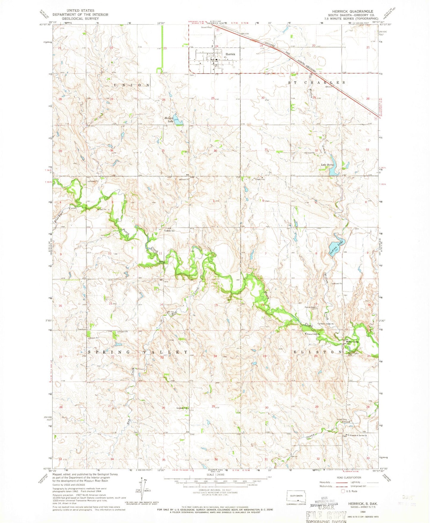
Classic USGS Herrick South Dakota 7.5'x7.5' Topo Map
Couldn't load pickup availability
Historical USGS topographic quad map of Herrick in the state of South Dakota. Map scale may vary for some years, but is generally around 1:24,000. Print size is approximately 24" x 27"
This quadrangle is in the following counties: Gregory.
The map contains contour lines, roads, rivers, towns, and lakes. Printed on high-quality waterproof paper with UV fade-resistant inks, and shipped rolled.
Contains the following named places: Berry Lake Dam, Blue Eyes Creek, Goodman School, Hay Creek, Herrick, Herrick Cemetery, Herrick Lake, Herrick Lake Dam, Herrick Post Office, Indian Lake, Lake Berry, Leonard Ziesler Number 2 Dam, Milks Camp, Milks Camp Episcopal Cemetery, Milks Camp Park, Milk's Camp Segment, Miller School, Ponca Creek Cemetery, Ponca Creek Church, Ponca Lake Dam, Saint Francis of Xavier Church, Saint Francis Xavair Cemetery, Spring Valley Township Hall, Town of Herrick, Township of Spring Valley, Township of Union, Unorganized Territory of Spring Valley, Willow Creek