MyTopo
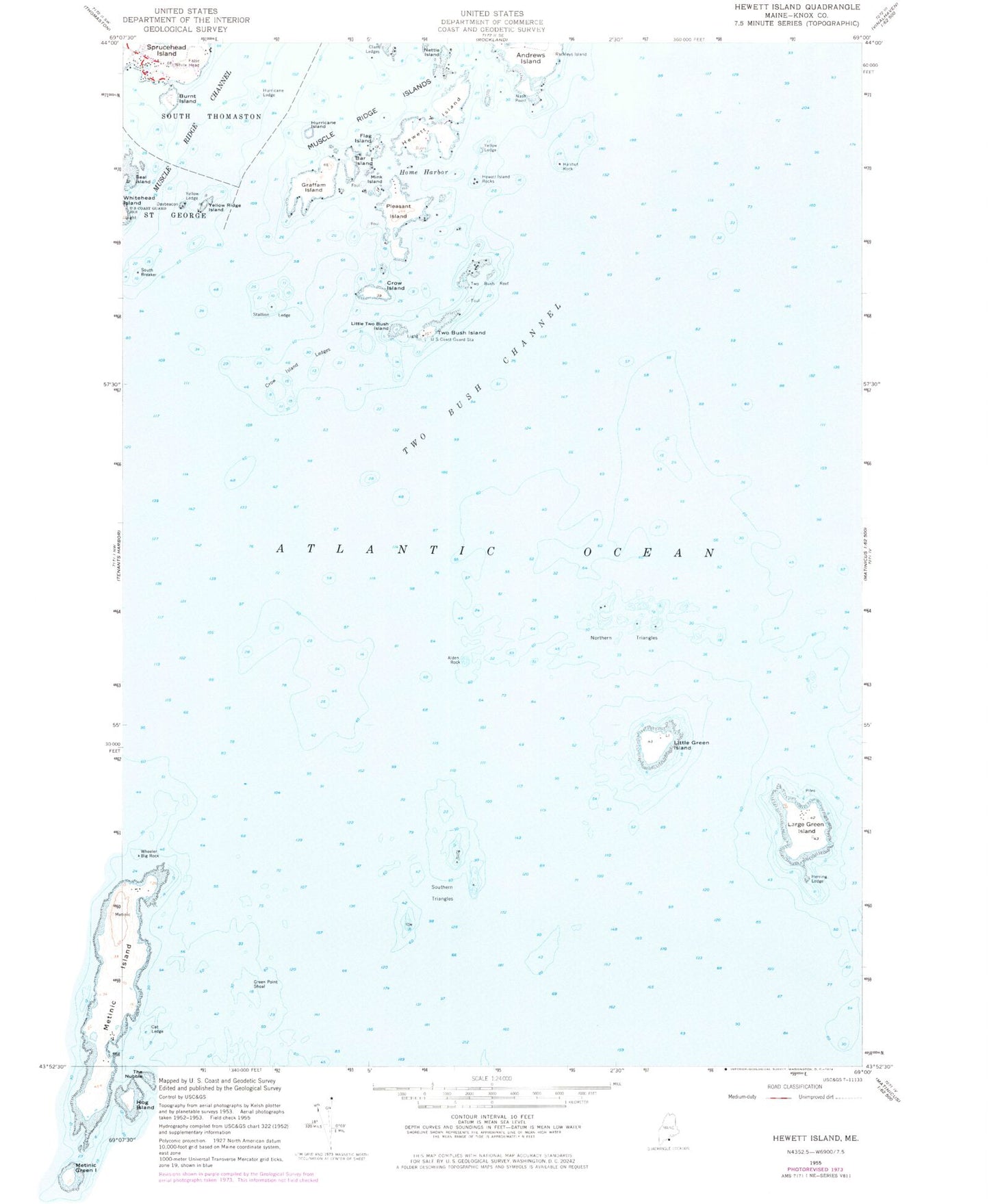
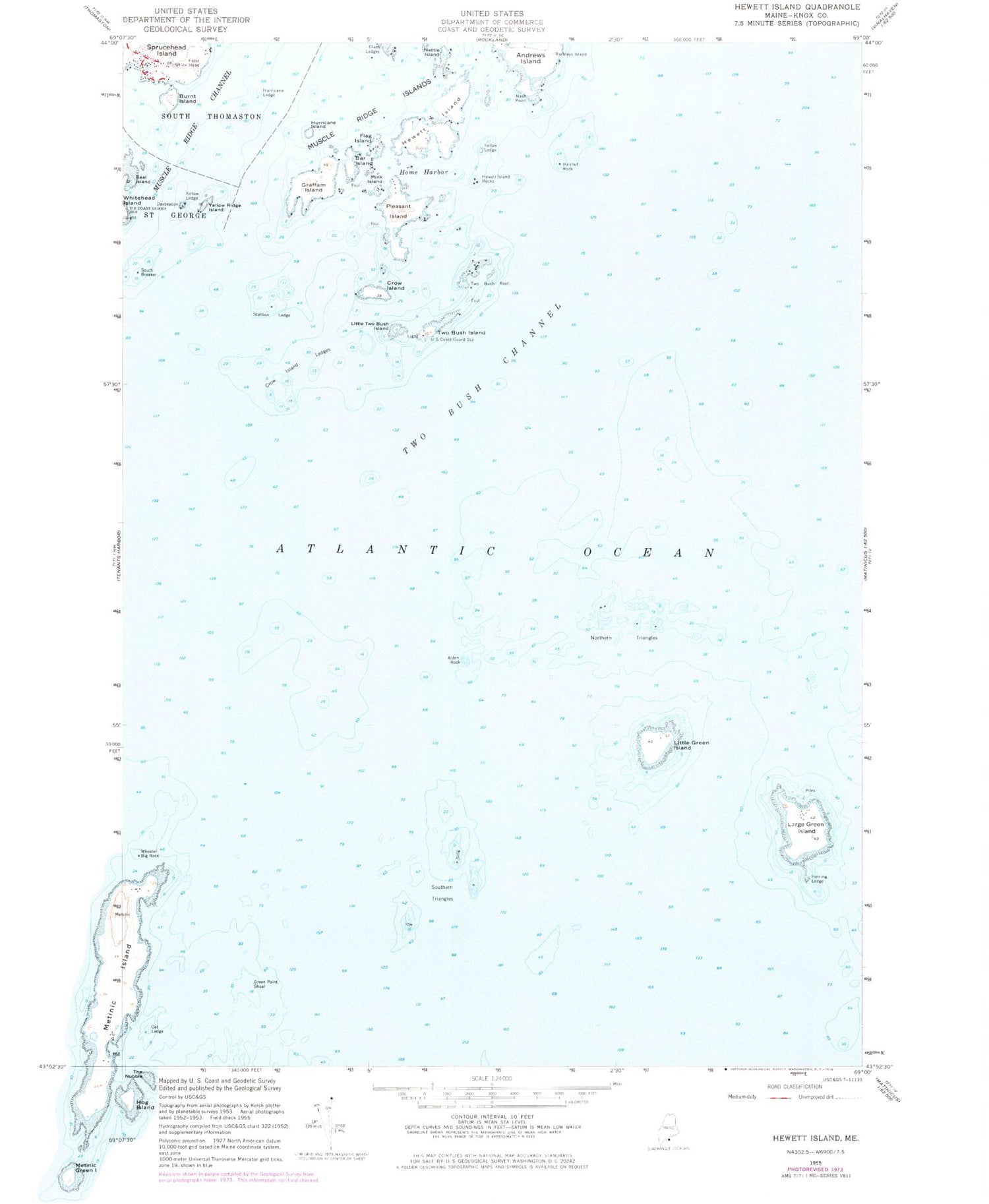
Classic USGS Hewett Island Maine 7.5'x7.5' Topo Map
Couldn't load pickup availability
Historical USGS topographic quad map of Hewett Island in the state of Maine. Map scale may vary for some years, but is generally around 1:24,000. Print size is approximately 24" x 27"
This quadrangle is in the following counties: Knox.
The map contains contour lines, roads, rivers, towns, and lakes. Printed on high-quality waterproof paper with UV fade-resistant inks, and shipped rolled.
Contains the following named places: Alden Rock, Andrews Island, Bar Island, Burnt Island, Cat Ledge, Collins Rock, Crow Island, Crow Island Ledges, False Halibut Rock, Flag Island, Graffam Island, Green Point Shoal, Halibut Rock, Herring Ledge, Hewett Island, Hewett Island Rocks, Home Harbor, Hurricane Island, Hurricane Ledge, Large Green Island, Little Green Island, Little Two Bush Island, Lower Gangway Ledge, Mink Island, Muscle Ridge Islands, Nash Point, Nettle Island, Northern Triangles, Pleasant Island, Seal Island, South Breaker, Southern Triangles, Sprucehead Island, Stallion Ledge, Two Bush Channel, Two Bush Island, Two Bush Island Light, Two Bush Reef, Wheeler Big Rock, Whitehead Island Light Station, Yellow Ledge, Yellow Ridge Island