MyTopo
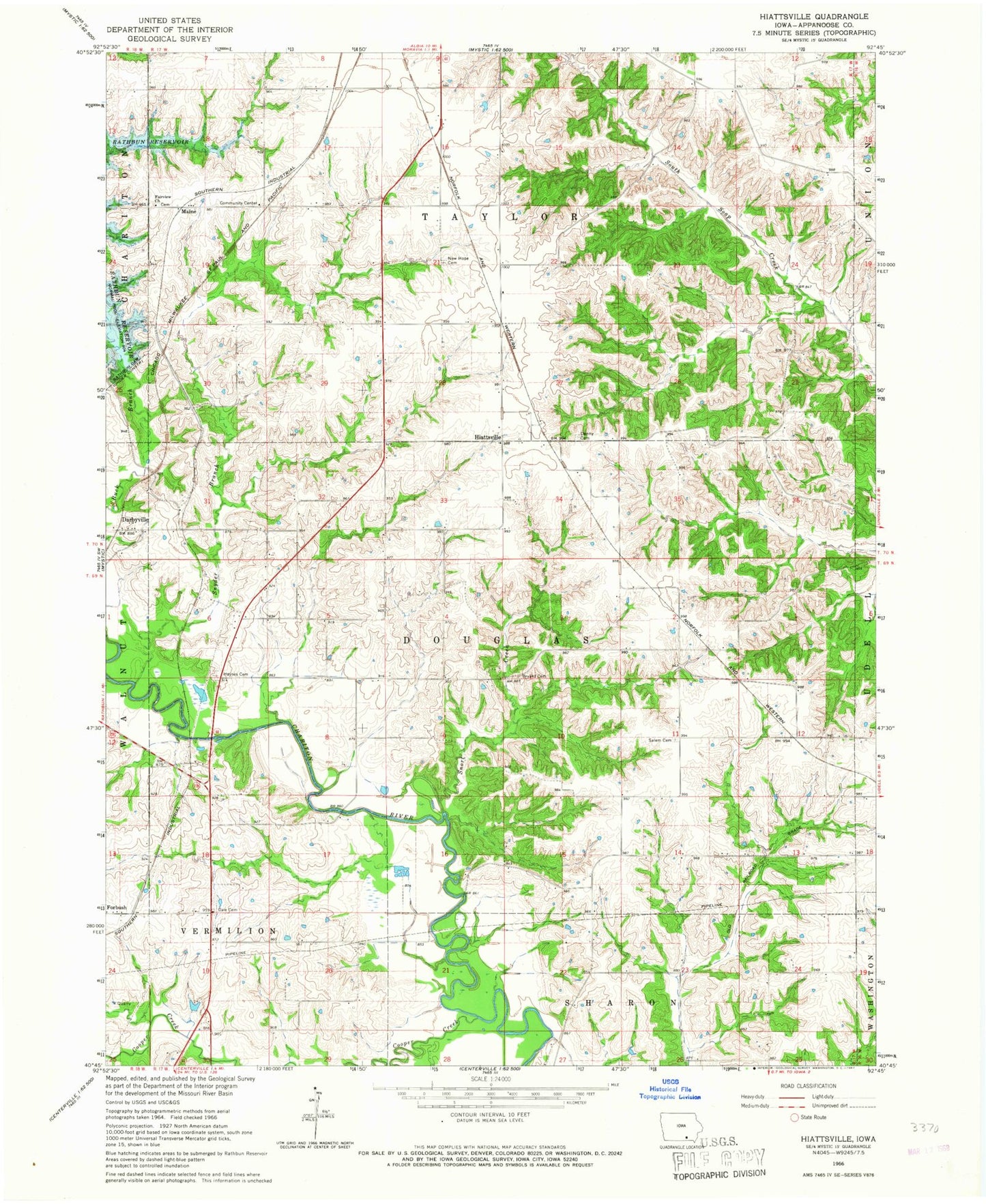
Classic USGS Hiattsville Iowa 7.5'x7.5' Topo Map
Couldn't load pickup availability
Historical USGS topographic quad map of Hiattsville in the state of Iowa. Map scale may vary for some years, but is generally around 1:24,000. Print size is approximately 24" x 27"
This quadrangle is in the following counties: Appanoose.
The map contains contour lines, roads, rivers, towns, and lakes. Printed on high-quality waterproof paper with UV fade-resistant inks, and shipped rolled.
Contains the following named places: Bryant Cemetery, Buck Creek Park, Centerville Medical Clinic, Cooper Creek, Dale Cemetery, Darbyville, Darbyville Post Office, Dennis, Dennis Post Office, Denny Cemetery, Fairview Church, Haynes Cemetery, Hiattsville, Hiattsville Post Office, Main Station Cemetery, Maine, Martin Cemetery, Mercy Medical Center Centerville, New Hope Cemetery, Outlet Park, Perjue Cemetery, Rathbun Dam, Rathbun Fish Hatchery, Rathbun Lake Airport, Rathbun Research Center, Ray Post Office, Saint Josephs Mercy Medical Clinic, Salem Cemetery, Snort Creek, Snyder Branch, Township of Douglas, Township of Taylor


