
MyTopo
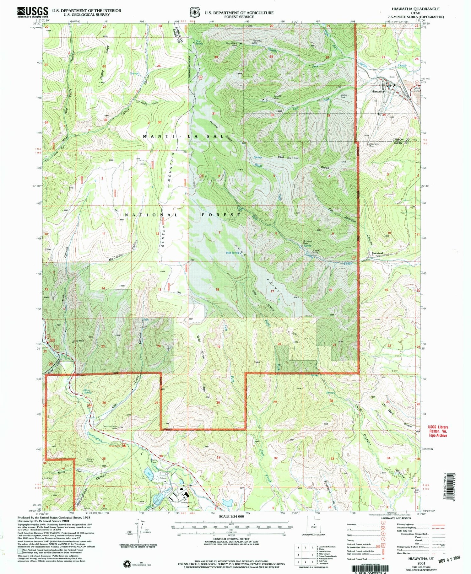
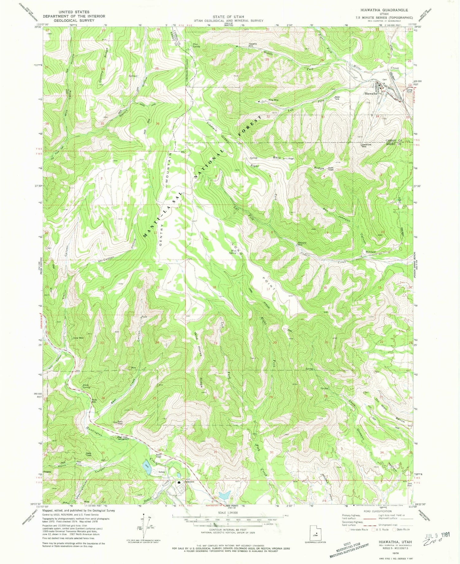
Classic USGS Hiawatha Utah 7.5'x7.5' Topo Map
Couldn't load pickup availability
Historical USGS topographic quad map of Hiawatha in the state of Utah. Map scale may vary for some years, but is generally around 1:24,000. Print size is approximately 24" x 27"
This quadrangle is in the following counties: Carbon, Emery.
The map contains contour lines, roads, rivers, towns, and lakes. Printed on high-quality waterproof paper with UV fade-resistant inks, and shipped rolled.
Contains the following named places: Bald Ridge, Bear Creek Campground, Bear Creek Canyon, Ben Johnson Canyon, Birch Spring, Blackhawk Mine, Chris Otteson Trail, Co-op Mine, Deer Creek, Fiddlers Green, Gentry Hollow, Hiawatha, Hiawatha Cemetery, Hiawatha Mine, Huntington Canyon, Huntington Dam, Huntington Reservoir, Jacks Hole, King Mine, King Number Four and Number Five Mine, King Number Two Mine, Left Fork Cedar Creek, Left Fork Fish Creek, Left Fork Miller Creek, Long Point, McCadden Hollow, Meetinghouse Canyon, Middle Fork Miller Creek, Mohrland, Mohrland Mine, Mud Spring, North Fork Meetinghouse Canyon, Oil Well Bench, Pine Spring, Right Fork Cedar Creek, Right Fork Fish Creek, Right Fork Miller Creek, Rilda Canyon, Trail Canyon, Wild Cattle Hollow, Wild Horse Ridge, ZIP Code: 84528


