MyTopo
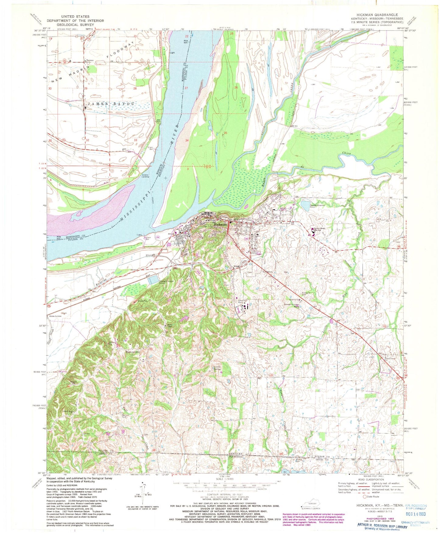
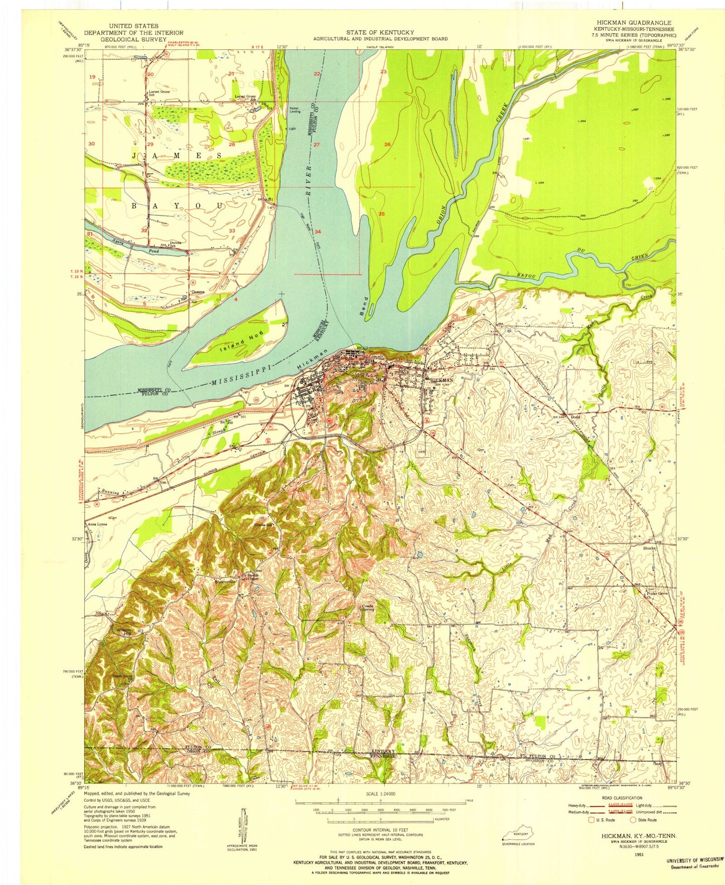
Classic USGS Hickman Kentucky 7.5'x7.5' Topo Map
Couldn't load pickup availability
Historical USGS topographic quad map of Hickman in the states of Kentucky, Missouri, Tennessee. Map scale may vary for some years, but is generally around 1:24,000. Print size is approximately 24" x 27"
This quadrangle is in the following counties: Fulton, Mississippi, Obion.
The map contains contour lines, roads, rivers, towns, and lakes. Printed on high-quality waterproof paper with UV fade-resistant inks, and shipped rolled.
Contains the following named places: Ayers Pond, Barnett Cemetery, Bayou de Chien, Beech Grove, Beech Grove Cemetery, Beech Grove United Methodist Church, Brown Family Cemetery No 2, Brownsville, Brownsville Cemetery, City of Hickman, Combs Spring, Dorena, Dorena Church, Dorena Crevasse, Dorena Landing, Dorena School, Downing - Wilson Cemetery, Fulton County, Fulton County High School, Fulton County Sheriff's Office, Hammes - Gray Cemetery, Hickman, Hickman Bend, Hickman City Cemetery, Hickman Division, Hickman Fire Department, Hickman Police Department, Hickman Post Office, Hubbard Cemetery, Leet Family Cemetery, Lester Post Light, Little Mud Creek, Locust Grove School, Obion Creek, Owens, Pace Cemetery, Parker Landing, Poplar Grove Cemetery, Poplar Grove Church, Smith Graveyard, Stubbs, Upshaw - Lewis Cemetery, Walker Cemetery, Wilson Hill, ZIP Code: 42050


