MyTopo
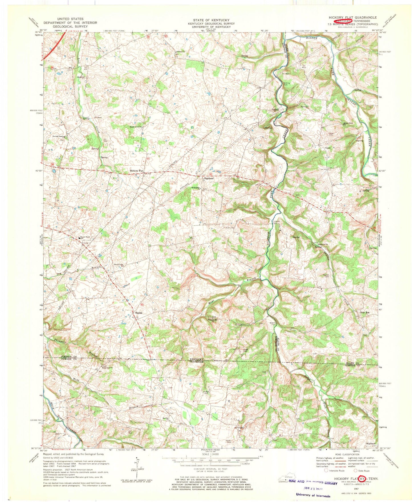
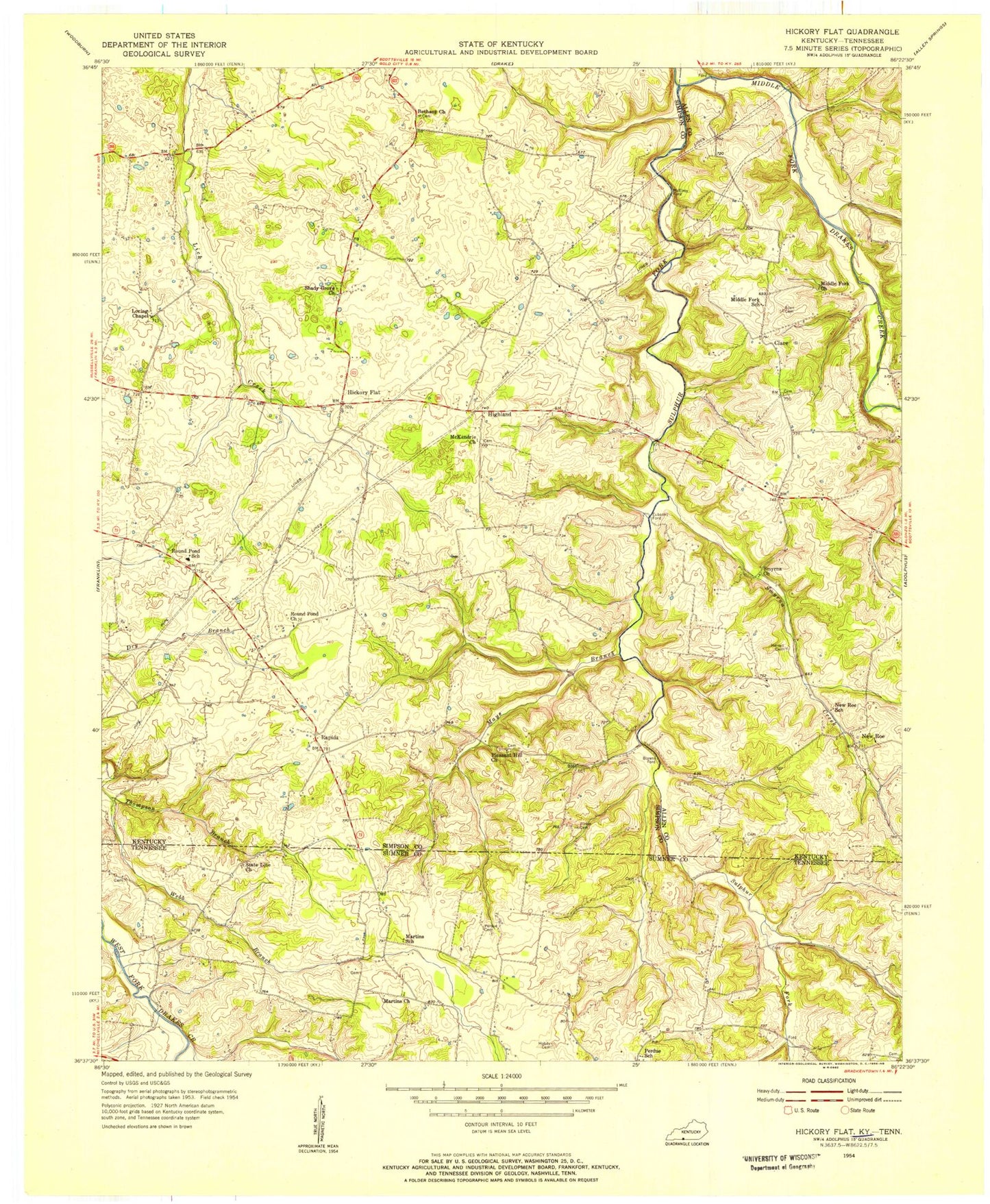
Classic USGS Hickory Flat Kentucky 7.5'x7.5' Topo Map
Couldn't load pickup availability
Historical USGS topographic quad map of Hickory Flat in the states of Kentucky, Tennessee. Map scale may vary for some years, but is generally around 1:24,000. Print size is approximately 24" x 27"
This quadrangle is in the following counties: Allen, Simpson, Sumner.
The map contains contour lines, roads, rivers, towns, and lakes. Printed on high-quality waterproof paper with UV fade-resistant inks, and shipped rolled.
Contains the following named places: Allen Cemetery, Bethany Church, Boiling Springs, Bornes Ford, Clare, East Simpson Division, Eubanks Ford, Harrell Cemetery, Hickory Flat, Highland, Hobdy Cemetery, Hop Over, Loving Chapel, Martins Chapel Cemetery, Martins Church, Mays Branch, McElroy Ford, McKendree Church, Middle Fork Church, New Roe, Perdue Cemetery, Pirkle Cemetery, Pleasant Hill Church, Rapids, Round Pond, Round Pond Church, Round Pond Elementary School, Shady Grove Baptist Church, Smyrna, Smyrna Creek, Smyrna Cumberland Presbyterian Church, State Line Cemetery, State Line Church, Sulphur Fork Creek, Thompson Branch


