MyTopo
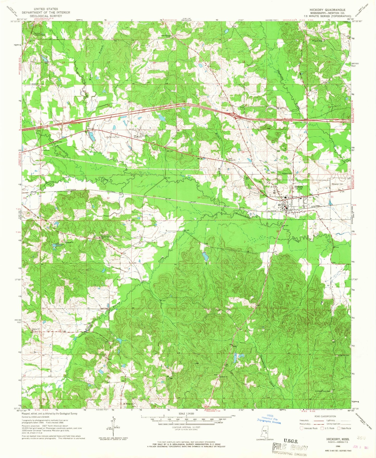
Classic USGS Hickory Mississippi 7.5'x7.5' Topo Map
Couldn't load pickup availability
Historical USGS topographic quad map of Hickory in the state of Mississippi. Map scale may vary for some years, but is generally around 1:24,000. Print size is approximately 24" x 27"
This quadrangle is in the following counties: Newton.
The map contains contour lines, roads, rivers, towns, and lakes. Printed on high-quality waterproof paper with UV fade-resistant inks, and shipped rolled.
Contains the following named places: Antioch Chistian Church, B J Blount Lake Dam, Berry School, Bethel Branch, Bethel Church, Bogue Falema Creek, Chunky, Corinth Church, Fahrbach Lake Dam, Ferguson Cemetery, Hammond Store, Hickman Chapel School, Hickory, Hickory Attendance Center, Hickory Cemetery, Hickory Post Office, Hickory Volunteer Fire Department, Liberty, Liberty Church, Mississippi State Experimental Station, Mount Moriah Church, Mount Olive Church, Newton Lookout Tower, Old Good Hope Baptist Cemetery, Old Norman Cemetery, Paula, Pleasant Ridge Baptist Church, Pleasant Ridge Cemetery, Poplar Springs, Poplar Springs Church, R Doolittle Pond Dam, Rock Hill Church, Rose Field, Saint Paul School, Sand Springs Church, Shiloh Church, Simmons Branch, Spring Hill Cemetery, Supervisor District 5, Sweetwater School, Tallow, Tarlow Creek, Town of Hickory, Troy Brand Lake Dam, Turkey Creek, Urbo, W Parks Lake Dam, Walker Branch, Wall School, Wickward, Wickware Pond, ZIP Code: 39345