MyTopo
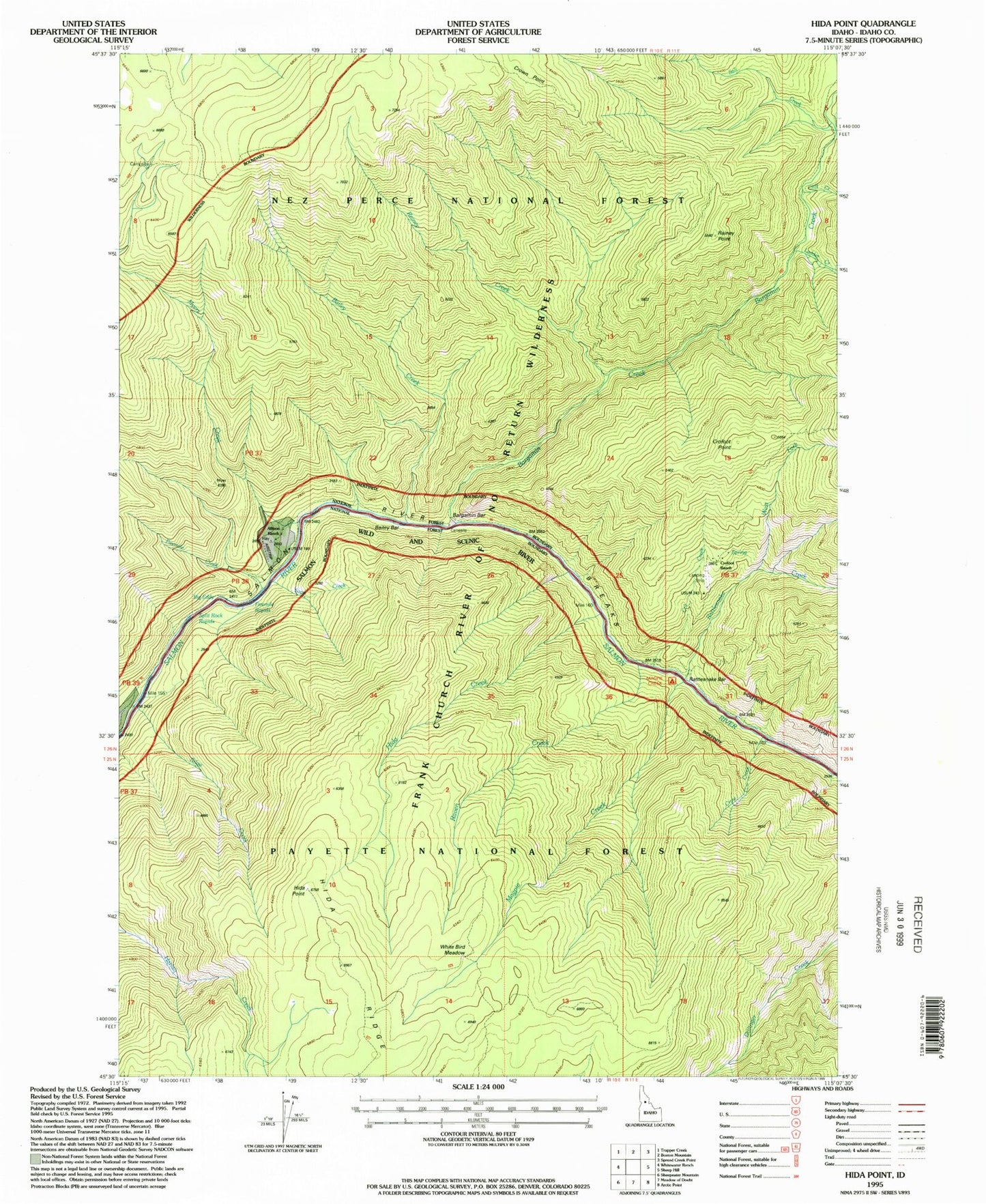
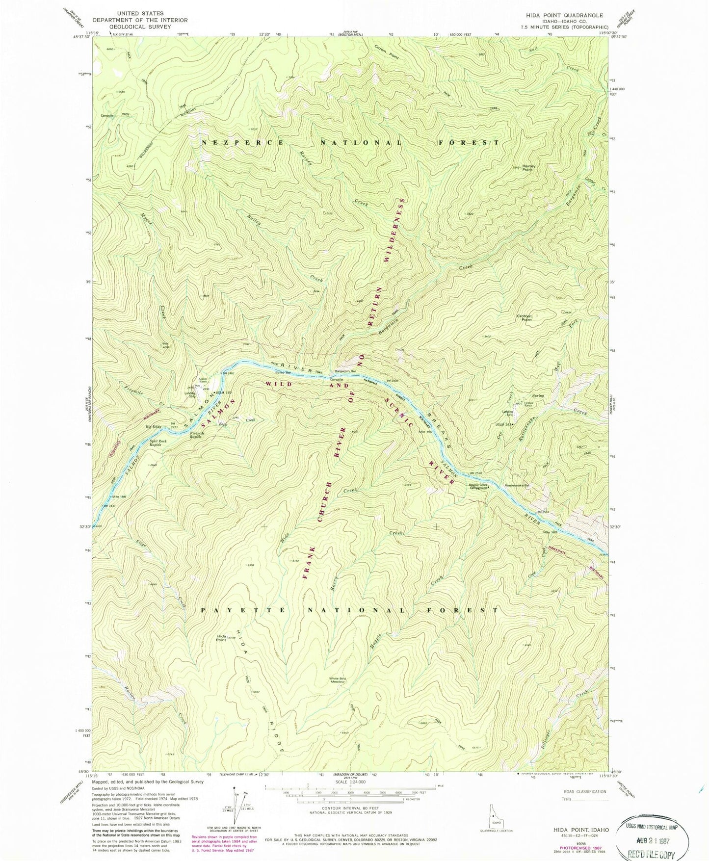
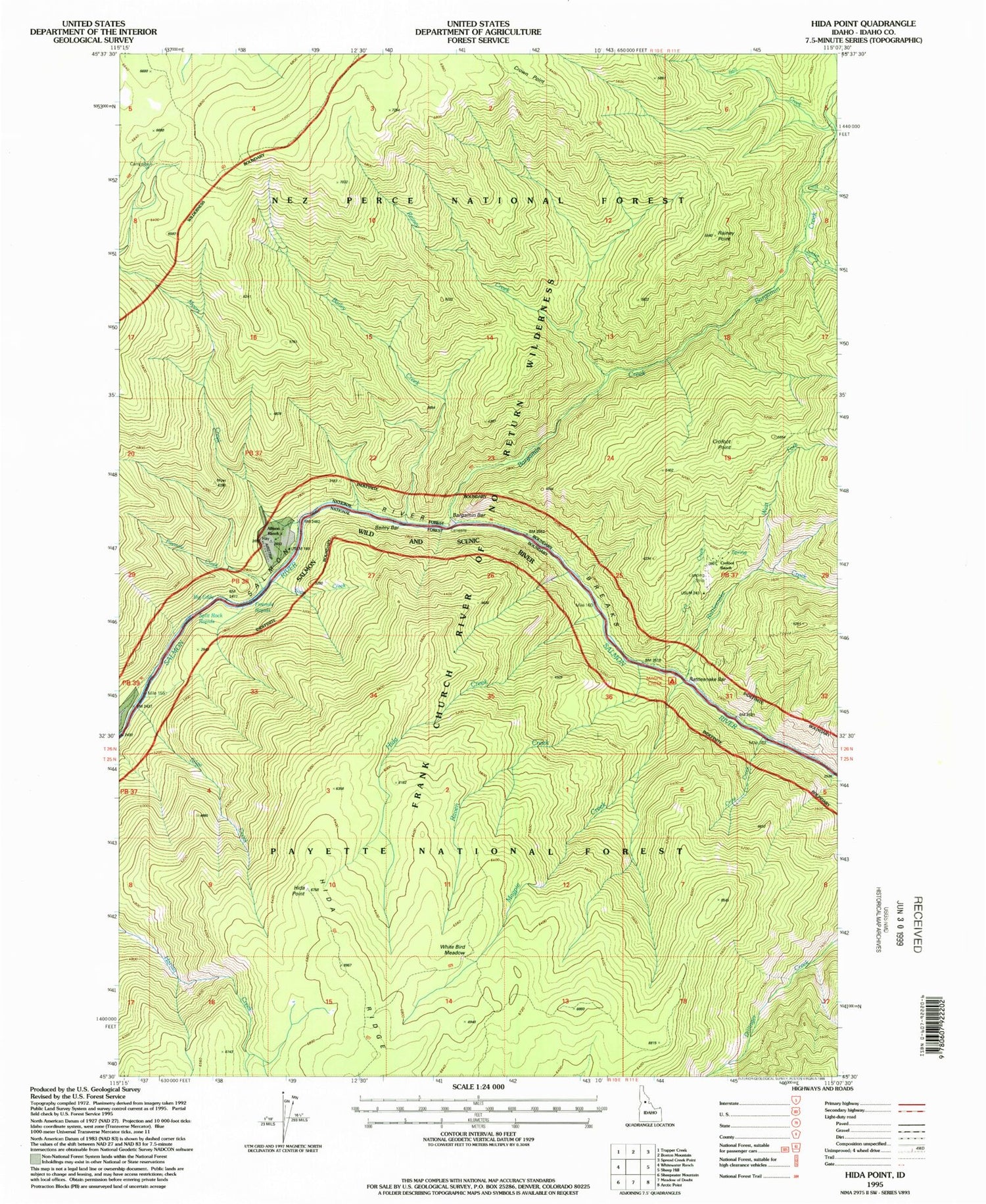
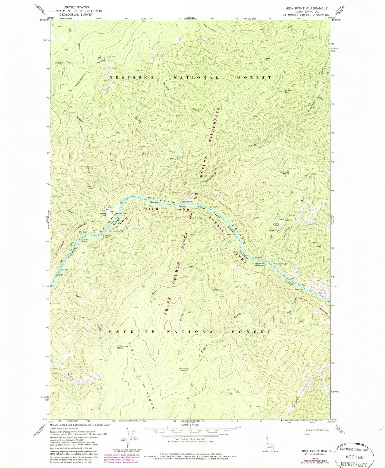
Classic USGS Hida Point Idaho 7.5'x7.5' Topo Map
Couldn't load pickup availability
Historical USGS topographic quad map of Hida Point in the state of Idaho. Typical map scale is 1:24,000, but may vary for certain years, if available. Print size: 24" x 27"
This quadrangle is in the following counties: Idaho.
The map contains contour lines, roads, rivers, towns, and lakes. Printed on high-quality waterproof paper with UV fade-resistant inks, and shipped rolled.
Contains the following named places: Rattlesnake Bar, Allison Ranch, Bailey Bar, Bailey Creek, Bargamin Bar, Bargamin Bar Campsite, Bargamin Creek, Big Eddy, Cliff Creek, Crofoot Ranch, Crow Creek, Crown Point, Fivemile Creek, Fivemile Rapids, Hida Point, Ladder Creek, Magpie Creek, Magpie Creek Campsite, Myers Creek, Rainey Creek, Rainey Point, Rattlesnake Creek, Raven Creek, Salmon River Breaks, Salt Creek, Sapp Creek, Silge Creek, Split Rock Rapids, West Fork Rattlesnake Creek, White Bird Meadow, Hida Creek, Clearwater Mountains, Bargamin Rapids, Crofoot Point, Cro Creek, Magpie Creek District Ranger Station


