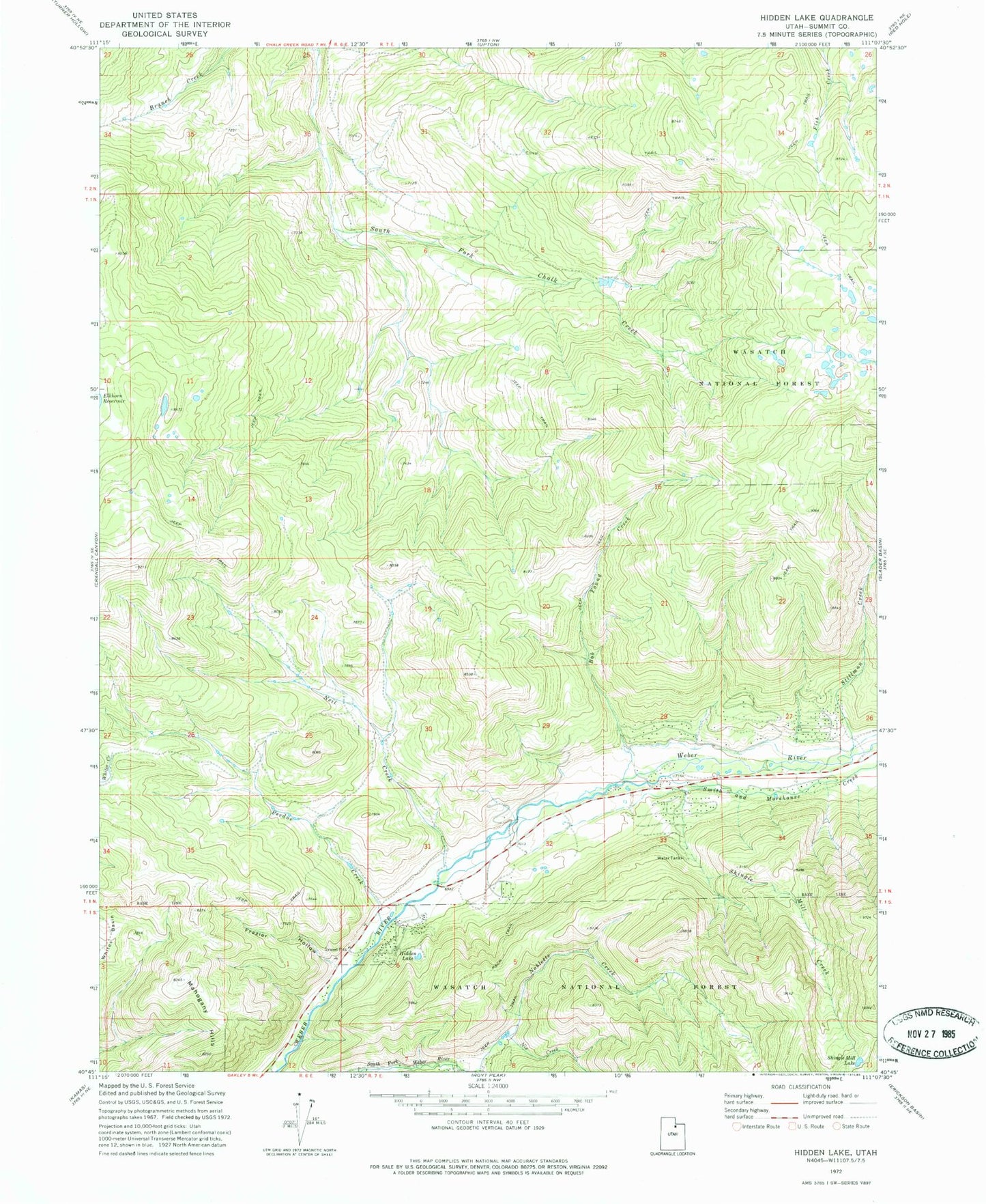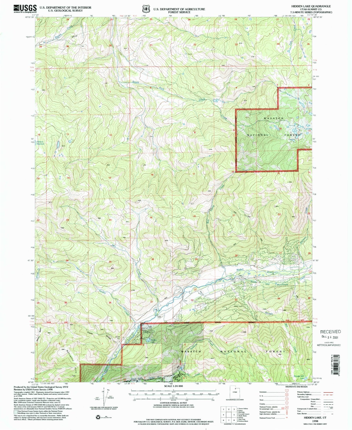
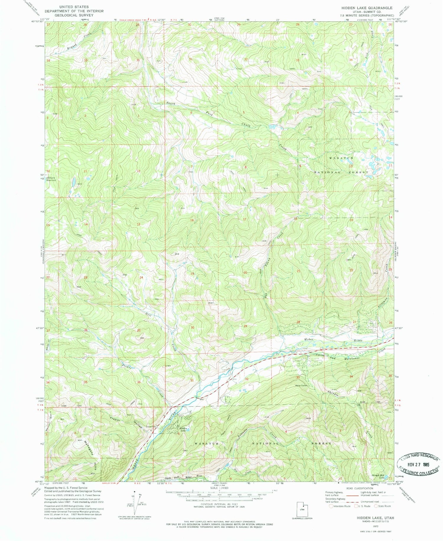
MyTopo
Classic USGS Hidden Lake Utah 7.5'x7.5' Topo Map
Regular price
$16.95
Regular price
Sale price
$16.95
Unit price
per
Couldn't load pickup availability
Historical USGS topographic quad map of Hidden Lake in the state of Utah. Map scale may vary for some years, but is generally around 1:24,000. Print size is approximately 24" x 27"
This quadrangle is in the following counties: Summit.
The map contains contour lines, roads, rivers, towns, and lakes. Printed on high-quality waterproof paper with UV fade-resistant inks, and shipped rolled.
Contains the following named places: Bob Young Creek, Frazier Hollow, Hidden Lake, Mahogany Hills, Neil Creek, Nix Creek, Perdue Creek, Shingle Mill Creek, Shingle Mill Lake, Smith and Morehouse Creek, Stillman Creek, The Pines, Whites Basin