MyTopo
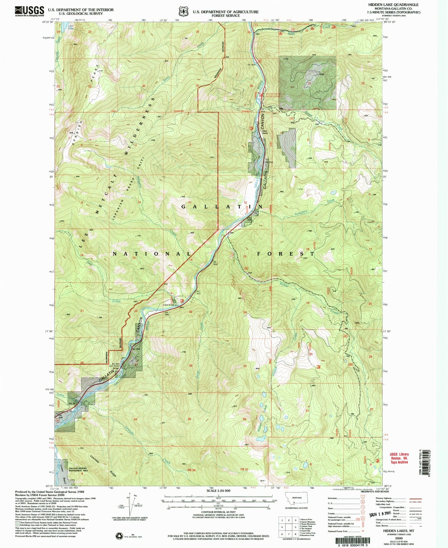
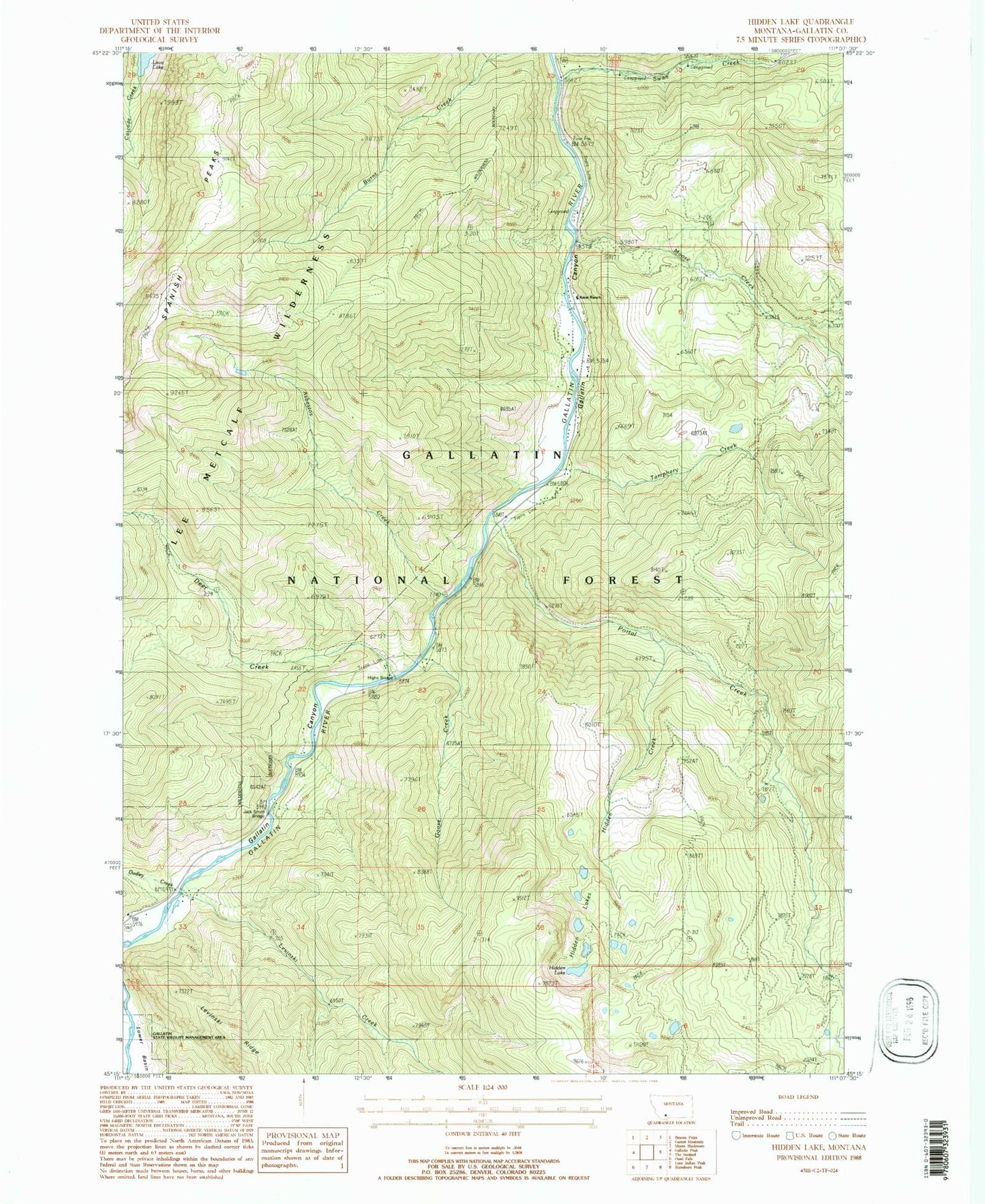
Classic USGS Hidden Lakes Montana 7.5'x7.5' Topo Map
Couldn't load pickup availability
Historical USGS topographic quad map of Hidden Lakes in the state of Montana. Typical map scale is 1:24,000, but may vary for certain years, if available. Print size: 24" x 27"
This quadrangle is in the following counties: Gallatin.
The map contains contour lines, roads, rivers, towns, and lakes. Printed on high-quality waterproof paper with UV fade-resistant inks, and shipped rolled.
Contains the following named places: Asbestos Creek, Deer Creek, Dudley Creek, Goose Creek, Hidden Creek, Hidden Lakes, Jack Smith Bridge, Karst Ranch, Levinski Creek, Moose Creek, Portal Creek, Shady Rest Camp, Swan Creek, Tamphery Creek, Highs Bridge, Moose Creek Flat Recreation Site, Karst Power Plant, Swan Creek Campground, Dudley Creek Mine, Karst Asbestos Mine, Sage Brush Point Bridge (historical), Rocking Horse Bridge (historical), Moose Creek Flats Bridge, Durnam Bridge, Park View West Bridge, Gallatin Golden Gate Bridge, Anceney Bridge, Moose Flat Campground, Big Sky Division


