MyTopo
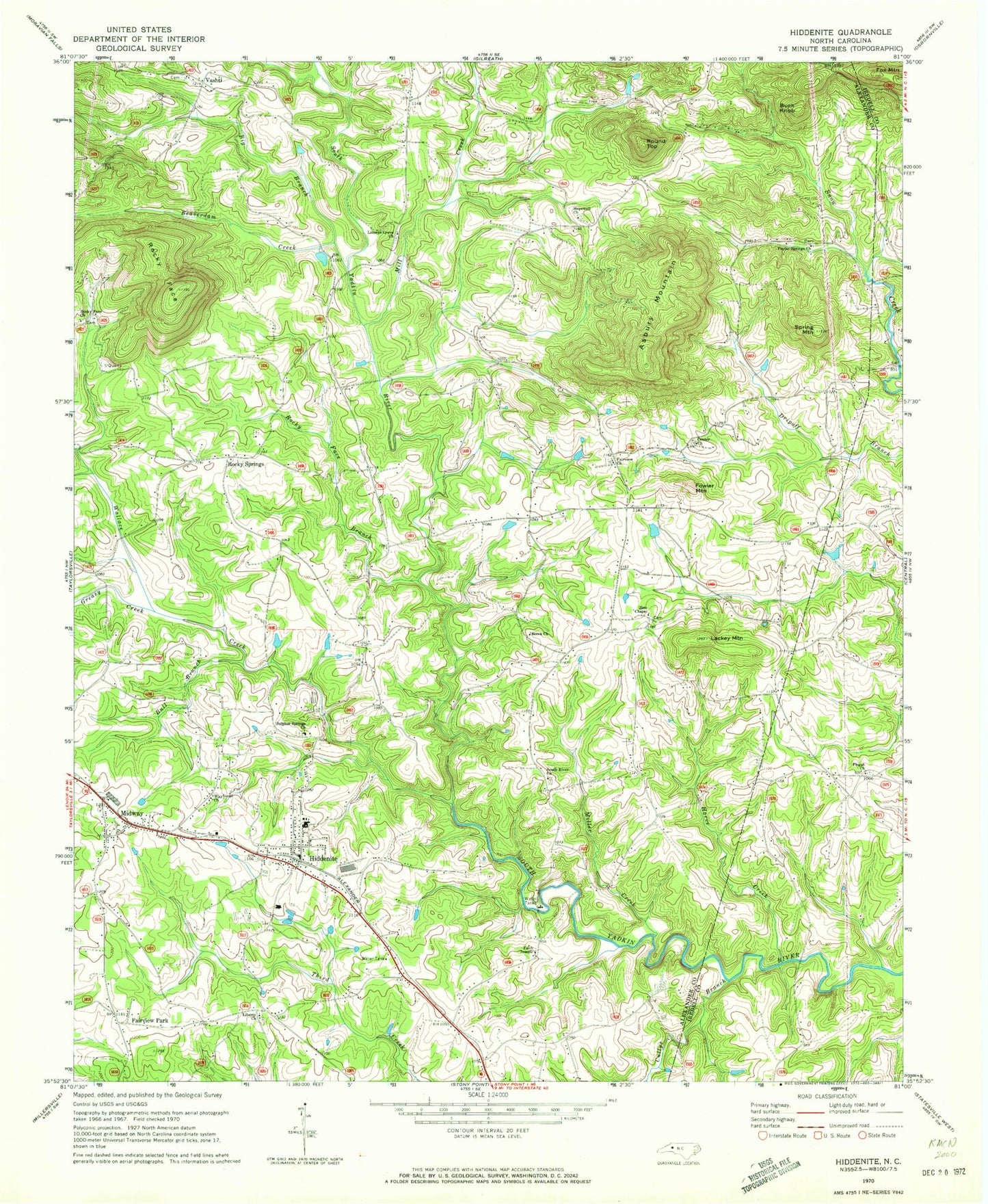
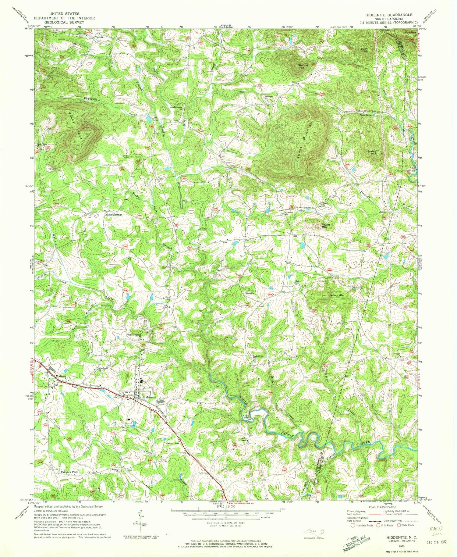
Classic USGS Hiddenite North Carolina 7.5'x7.5' Topo Map
Couldn't load pickup availability
Historical USGS topographic quad map of Hiddenite in the state of North Carolina. Map scale may vary for some years, but is generally around 1:24,000. Print size is approximately 24" x 27"
This quadrangle is in the following counties: Alexander, Iredell.
The map contains contour lines, roads, rivers, towns, and lakes. Printed on high-quality waterproof paper with UV fade-resistant inks, and shipped rolled.
Contains the following named places: Asbury Mountain, Beaverdam Creek, Berea Church, Big Branch, Buck Knob, Bull Branch, Center Church, Cullys Branch, East Junior High School, Fairview Church, Fairview Park, Faith Temple, Fowler Mountain, Greasy Creek, Gryder-Teague Airport, Harve Creek, Hiddenite, Hiddenite Census Designated Place, Hiddenite Elementary School, Hiddenite Fire Department, Hiddenite Post Office, Hopewell Church, Lackey Mountain, Liberty Church, Linneys Grove Church, Midway, Mill Creek, Miller Creek, New Hope, Pisgah Church, Poplar Springs Church, Rocky Face, Rocky Face Branch, Rocky Springs, Round Top, South River Church, Spring Mountain, Sulphur Springs Church, Township of Gwaltneys, Township of Sharpes, Vashti, Wallace Creek, Wayfound Church, Zion Chapel, ZIP Code: 28636


