MyTopo
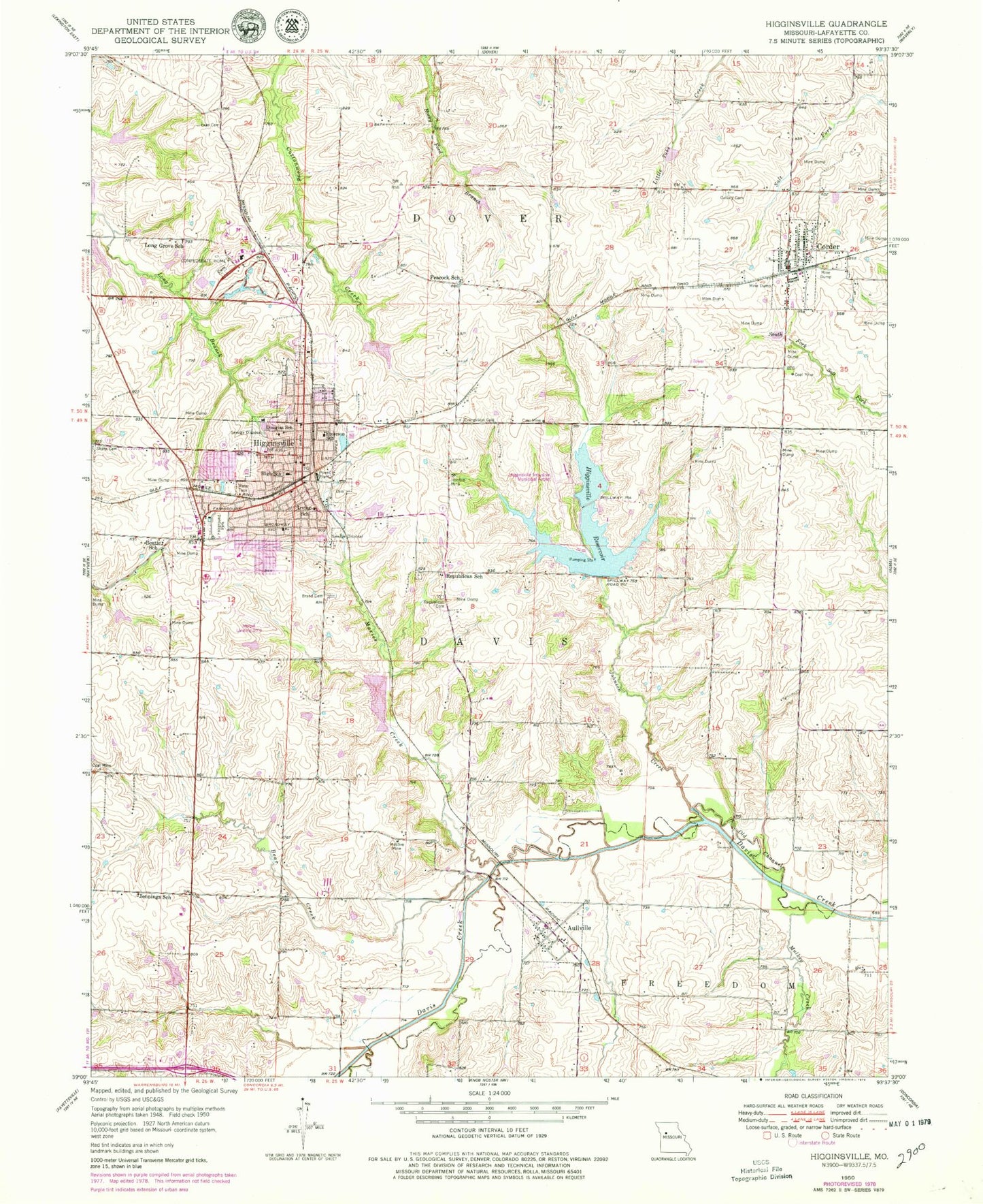
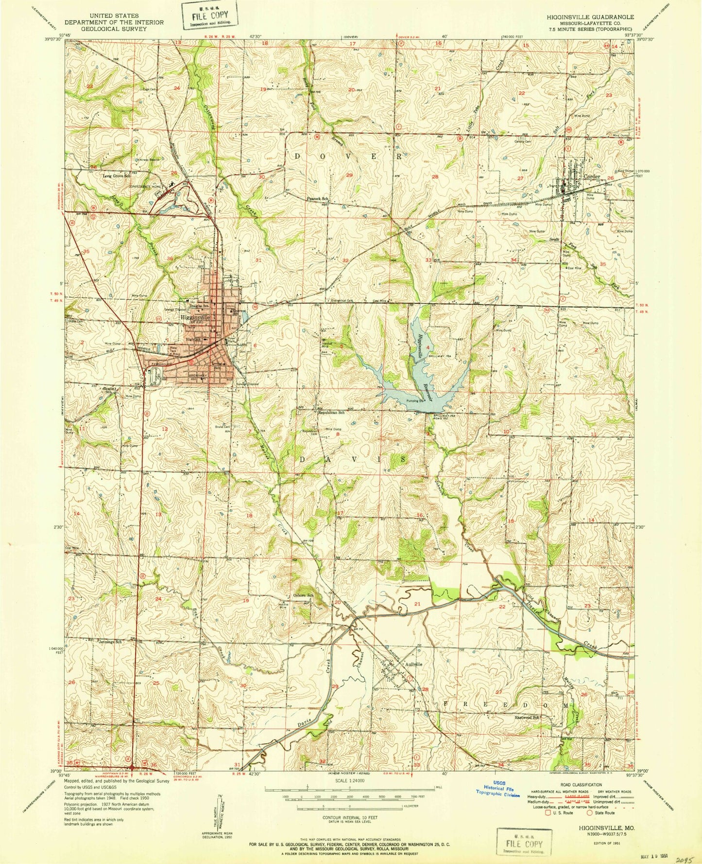
Classic USGS Higginsville Missouri 7.5'x7.5' Topo Map
Couldn't load pickup availability
Historical USGS topographic quad map of Higginsville in the state of Missouri. Map scale may vary for some years, but is generally around 1:24,000. Print size is approximately 24" x 27"
This quadrangle is in the following counties: Lafayette.
The map contains contour lines, roads, rivers, towns, and lakes. Printed on high-quality waterproof paper with UV fade-resistant inks, and shipped rolled.
Contains the following named places: Arndt Creek, Aullville, Bear Creek, Bears Grove, Beatie School, Brand Cemetery, Calvary Cemetery, City Cemetery, City of Corder, City of Higginsville, Confederate Home, Corder, Corder Fire Protection District Station 1, Corder Police Department, Corder Post Office, Douglas School, Eastwood School, Emerson School, Evangelical Cemetery, Fairground Park, Frank Riekhof and William Nuelle Lake, Gash Dam, Grandview Elementary School, Harbet Airport, Higginsville, Higginsville Fire Department, Higginsville Industrial Municipal Airport, Higginsville North Reservoir Dam, Higginsville Police Department, Higginsville Post Office, Higginsville Reservoir, Higginsville South Reservoir Dam, Hilgedick Lake Dam, Immanuel Lutheran Church, Immanuel Lutheran School, Irving School, Jennings School, Johnson Creek, Lafayette County High School, Lafayette County Middle School, Lafayette F 24 Lake, Lake Mizzau, Long Grove School, Maries Creek, Missouri State Veterans Cemetery - Higginsville, Mulkey Creek, Neher - Gibson Lake, Nuelle Lake Dam, Osborne School, Page Cemetery, Peacock School, Republican Cemetery, Republican Church, Republican School, Rolling Meadow State School, Sharp Cemetery, Simpson, Starke Lake Dam, Tabo Creek Watershed Dam F-24, Tabo Creek Watershed Structure A-21 Dam, Tabo Creek Watershed Structure A-32 Dam, Tabo Creek Watershed Structure E-41 Dam, Tabo Creek Watershed Structure F-23 Dam, Township of Davis, VanMeter School, Village of Aullville, ZIP Code: 64037


