MyTopo
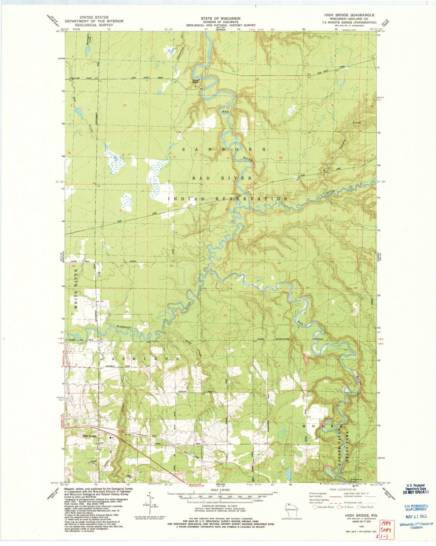
Classic USGS High Bridge Wisconsin 7.5'x7.5' Topo Map
Couldn't load pickup availability
Historical USGS topographic quad map of High Bridge in the state of Wisconsin. Map scale may vary for some years, but is generally around 1:24,000. Print size is approximately 24" x 27"
This quadrangle is in the following counties: Ashland.
The map contains contour lines, roads, rivers, towns, and lakes. Printed on high-quality waterproof paper with UV fade-resistant inks, and shipped rolled.
Contains the following named places: Billy Creek, Brownstone Falls, Copper Falls State Natural Area, Elm Hoist Wildlife G963 9 Dam, Elm Hoist Wildlife Pond 0.5, High Bridge, High Bridge Post Office, Jolmaville Census Designated Place, Marengo River, Potato River, Silver Creek, Town of Ashland, Tyler Forks, Vaughn Creek, ZIP Code: 54846