MyTopo
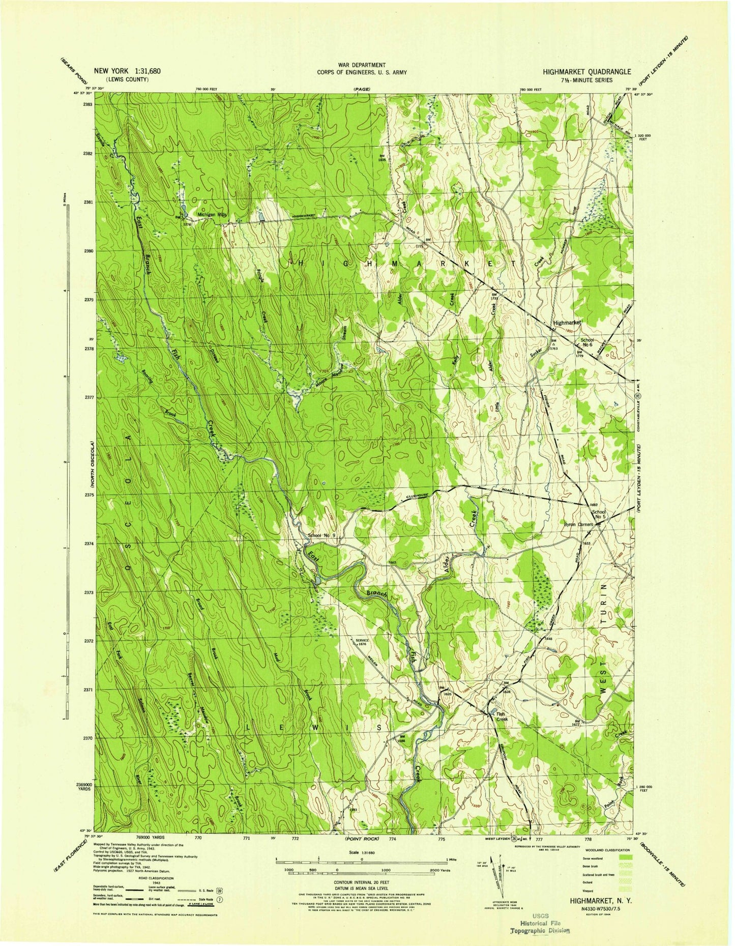
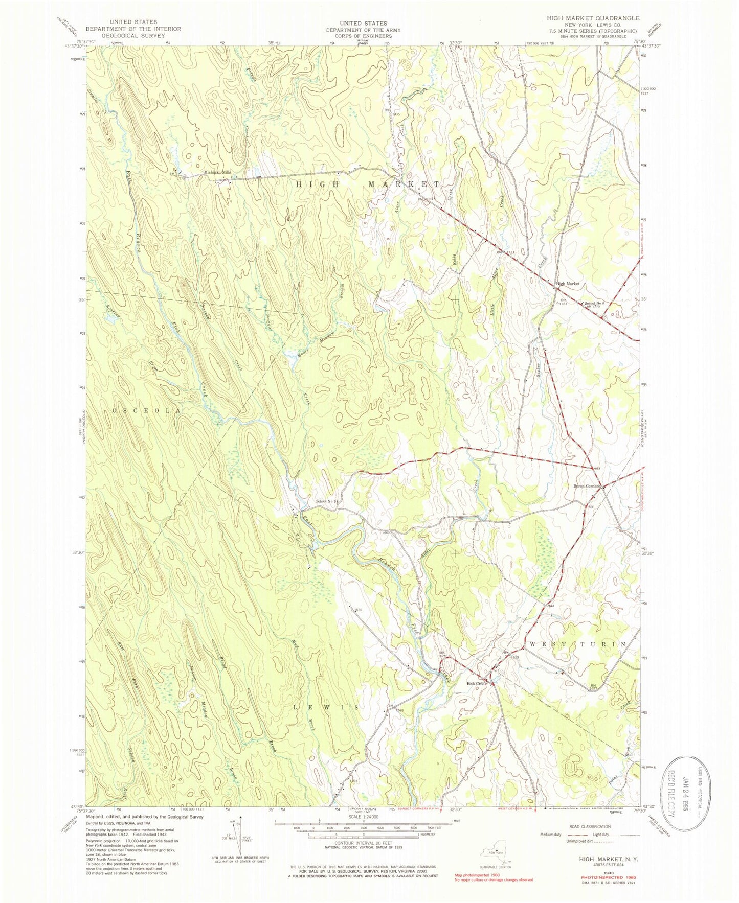
Classic USGS High Market New York 7.5'x7.5' Topo Map
Couldn't load pickup availability
Historical USGS topographic quad map of High Market in the state of New York. Map scale may vary for some years, but is generally around 1:24,000. Print size is approximately 24" x 27"
This quadrangle is in the following counties: Lewis.
The map contains contour lines, roads, rivers, towns, and lakes. Printed on high-quality waterproof paper with UV fade-resistant inks, and shipped rolled.
Contains the following named places: Alder Creek, Byron Corners, Dirreen Creek, Fish Creek, High Market, Kelly Creek, Little Alder Creek, Michigan Mills, Moore Meadow Stream, Pringle Creek, Roaring Brook, School Number 5, School Number 6, School Number 9, Sevenmile Creek, Sixmile Creek, Sucker Brook, Town of West Turin, ZIP Code: 13325