MyTopo
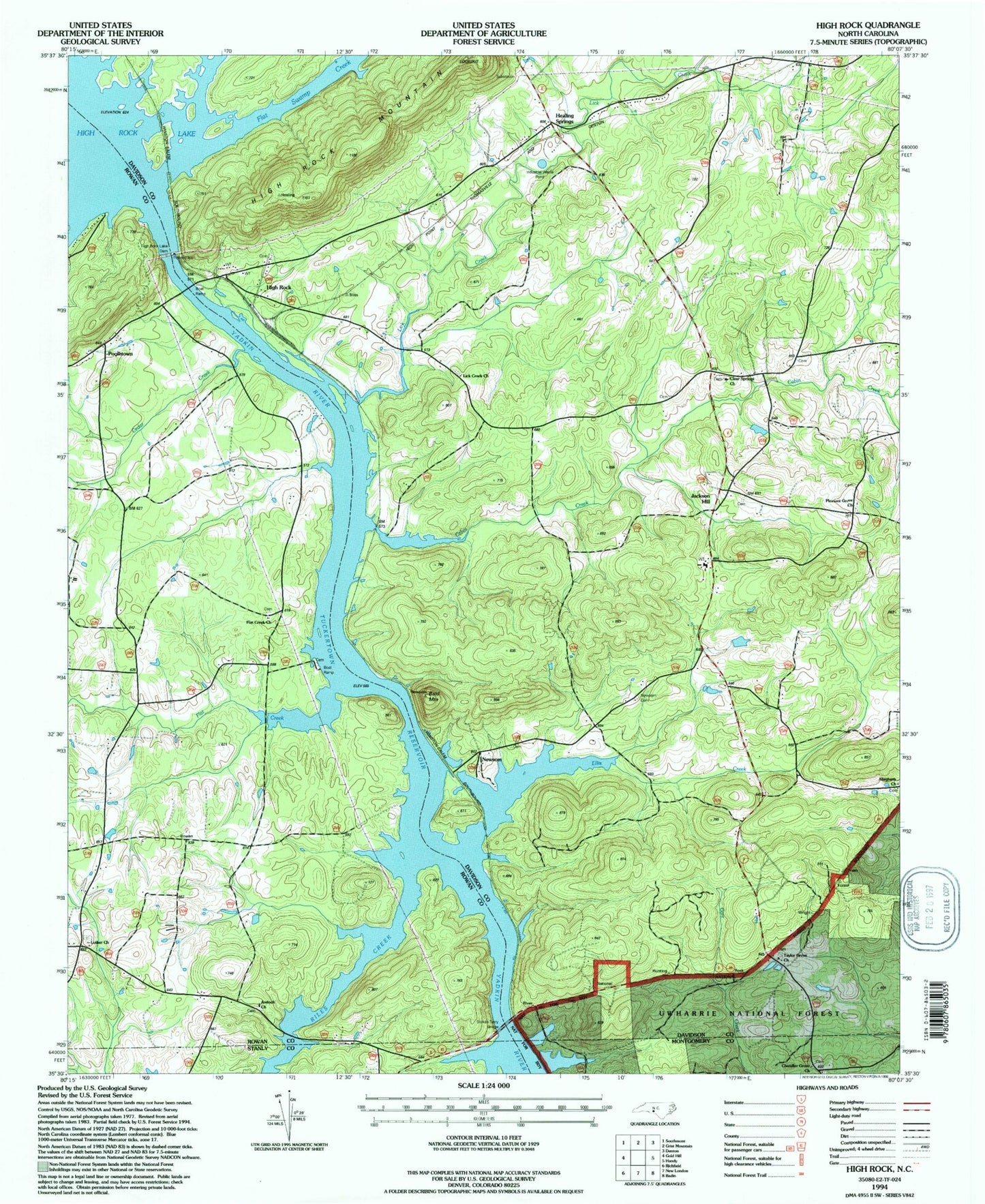
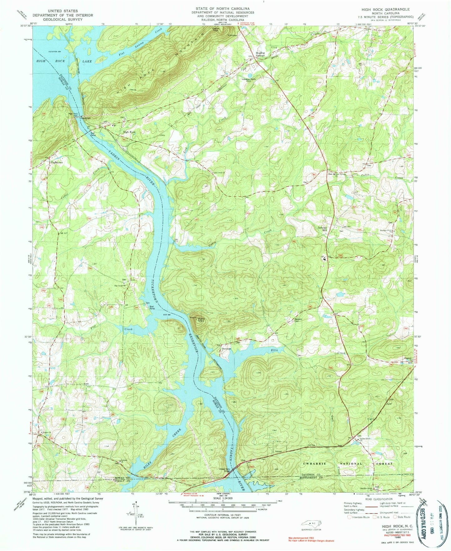
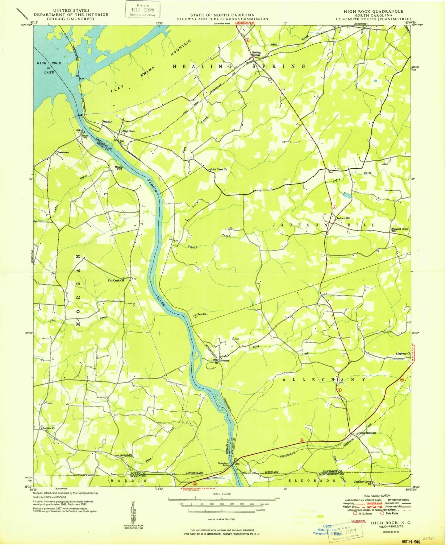
Classic USGS High Rock North Carolina 7.5'x7.5' Topo Map
Couldn't load pickup availability
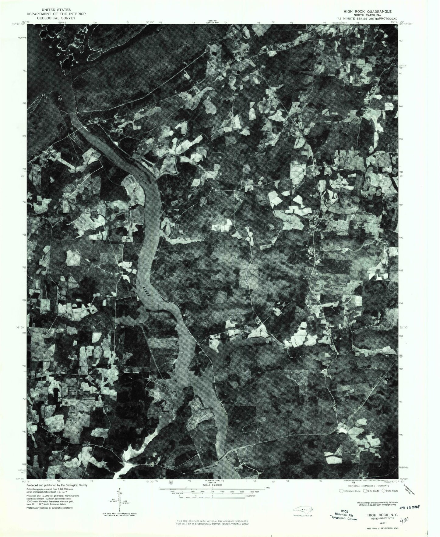
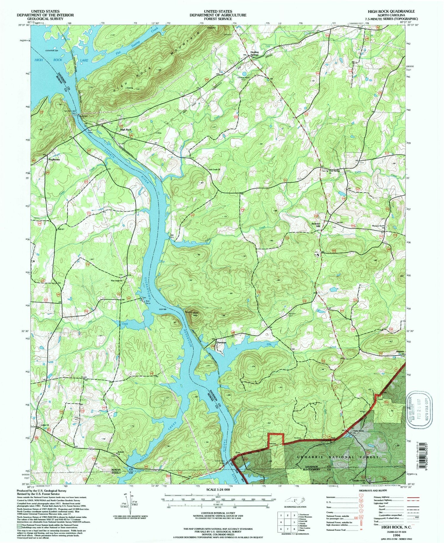
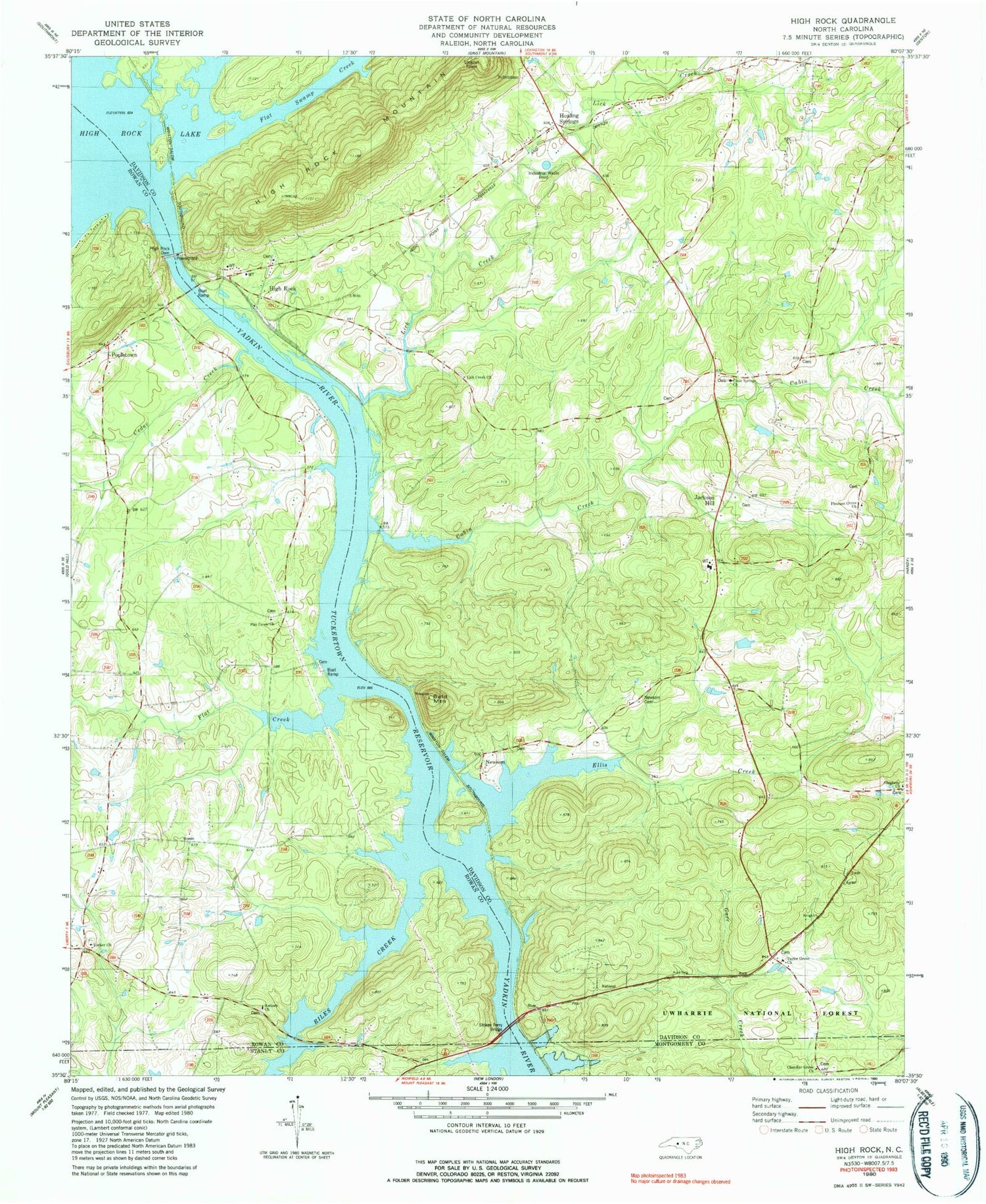
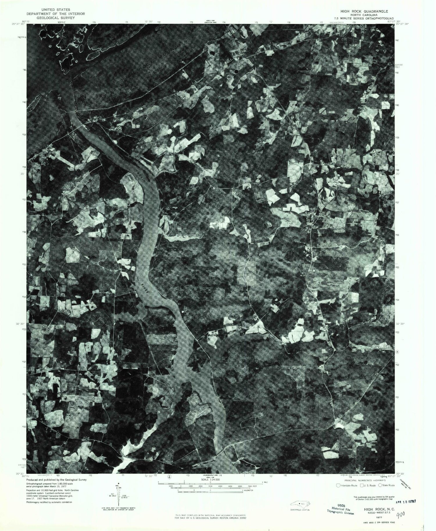
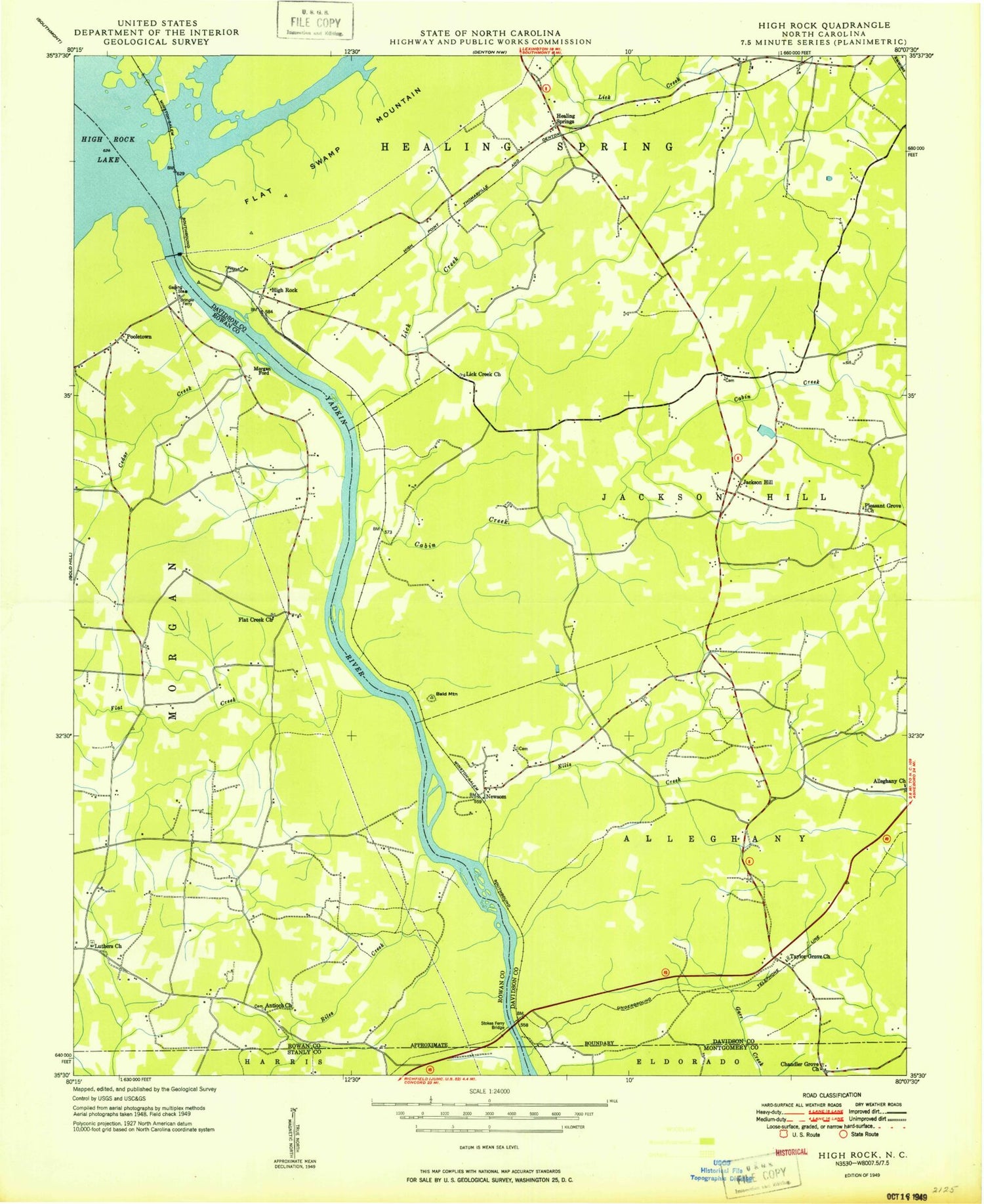
Historical USGS topographic quad map of High Rock in the state of North Carolina. Typical map scale is 1:24,000, but may vary for certain years, if available. Print size: 24" x 27"
This quadrangle is in the following counties: Davidson, Montgomery, Rowan, Stanly.
The map contains contour lines, roads, rivers, towns, and lakes. Printed on high-quality waterproof paper with UV fade-resistant inks, and shipped rolled.
Contains the following named places: Cedar Creek, Antioch Church, Bringle Ferry, Chandler Grove Church, Flat Creek Church, Lick Creek Baptist Church, Luthers Church, Newsom, Pleasant Grove Church, Stokes Ferry Bridge, Taylor Grove Church, High Rock Lake Dam, Millerton (historical), Stokes Ferry (historical), Clear Springs Church, Newsom Cemetery, Jackson Hill, Morgan Ford, High Rock Mountain, High Rock Lake, Alleghany Church, Bald Mountain, Cabin Creek, Ellis Creek, Flat Creek, Flat Swamp Creek, High Rock, Lick Creek, Pooletown, Riles Creek, Tuckertown Reservoir, Township of Alleghany, Township of Jackson Hill, Healing Springs, High Rock Baptist Church, Healing Springs Fire Department Station 48, Pooletown Volunteer Fire Department Station 69, FirstHealth of the Carolinas Emergency Medical Services Base 7, Cedar Creek, Antioch Church, Bringle Ferry, Chandler Grove Church, Flat Creek Church, Lick Creek Baptist Church, Luthers Church, Newsom, Pleasant Grove Church, Stokes Ferry Bridge, Taylor Grove Church, High Rock Lake Dam, Millerton (historical), Stokes Ferry (historical), Clear Springs Church, Newsom Cemetery, Jackson Hill, Morgan Ford, High Rock Mountain, High Rock Lake, Alleghany Church, Bald Mountain, Cabin Creek, Ellis Creek, Flat Creek, Flat Swamp Creek, High Rock, Lick Creek, Pooletown, Riles Creek, Tuckertown Reservoir, Township of Alleghany, Township of Jackson Hill, Healing Springs, High Rock Baptist Church, Healing Springs Fire Department Station 48, Pooletown Volunteer Fire Department Station 69, FirstHealth of the Carolinas Emergency Medical Services Base 7, Cedar Creek, Antioch Church, Bringle Ferry, Chandler Grove Church, Flat Creek Church, Lick Creek Baptist Church, Luthers Church, Newsom, Pleasant Grove Church, Stokes Ferry Bridge, Taylor Grove Church, High Rock Lake Dam, Millerton (historical), Stokes Ferry (historical), Clear Springs Church, Newsom Cemetery, Jackson Hill, Morgan Ford, High Rock Mountain, High Rock Lake, Alleghany Church, Bald Mountain, Cabin Creek, Ellis Creek, Flat Creek, Flat Swamp Creek, High Rock, Lick Creek, Pooletown, Riles Creek, Tuckertown Reservoir, Township of Alleghany, Township of Jackson Hill, Healing Springs, High Rock Baptist Church, Healing Springs Fire Department Station 48, Pooletown Volunteer Fire Department Station 69, FirstHealth of the Carolinas Emergency Medical Services Base 7
