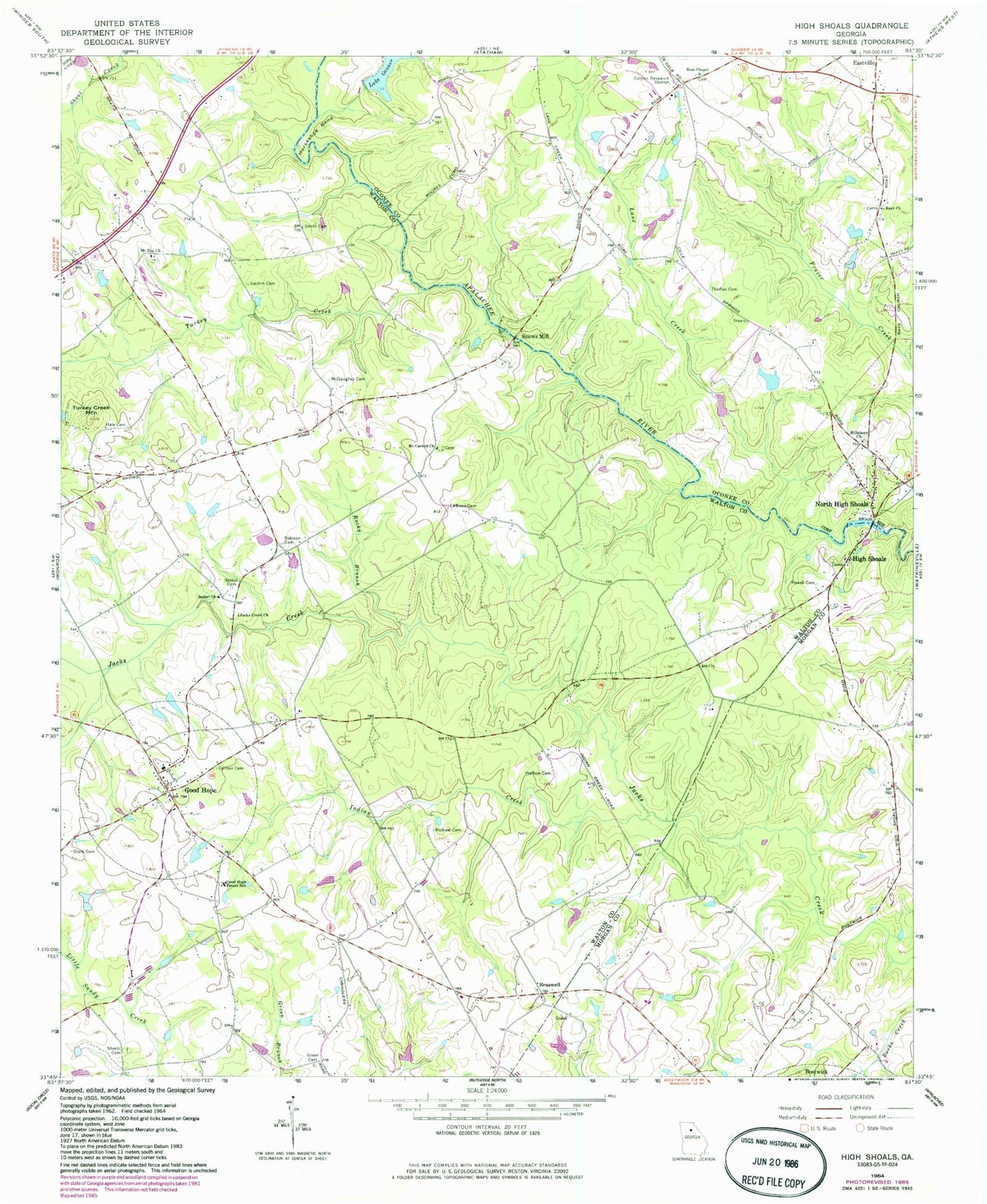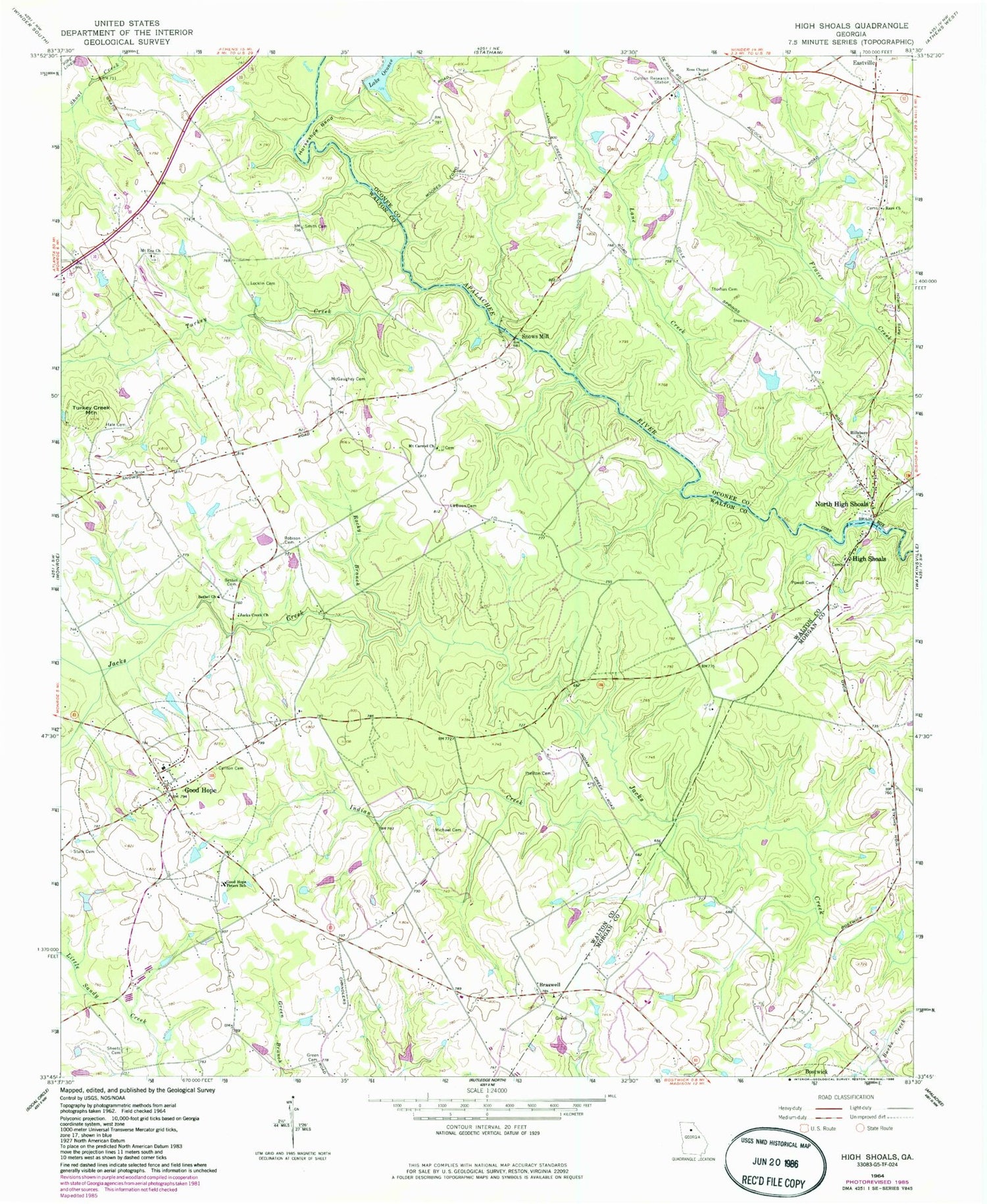
MyTopo
Classic USGS High Shoals Georgia 7.5'x7.5' Topo Map
Couldn't load pickup availability
Historical USGS topographic quad map of High Shoals in the state of Georgia. Map scale may vary for some years, but is generally around 1:24,000. Print size is approximately 24" x 27"
This quadrangle is in the following counties: Morgan, Oconee, Walton.
The map contains contour lines, roads, rivers, towns, and lakes. Printed on high-quality waterproof paper with UV fade-resistant inks, and shipped rolled.
Contains the following named places: Appalachee Bluff Riverfront Airpark, Bethel Baptist Church Cemetery, Bethel Church, Braswell, Braswell Church, Braswell Congregational Holiness Church, Braswell School, Carlton Family Cemetery, Casulon Plantation, City of Good Hope, Georgia Forestry Commission Morgan - Walton Office, Good Hope, Good Hope Division, Good Hope Peters School, Good Hope Post Office, Good Hope School, Green Cemetery, Hale Cemetery, High Shoals, High Shoals Baptist Church, High Shoals Post Office, Hillsboro Cemetery, Hillsboro Church, Horseshoe Bend, Indian Creek, Jacks Creek Church, Laboon Cemetery, Lake Oconee, Lake Oconee Dam, Lane Creek, Locklin Cemetery, McGaughey Cemetery, Meeks Lake, Meeks Lake Dam, Michael Cemetery, Moina Michael Monument, Moores Bridge, Mount Carmel Church, Mount Ena Church, North High Shoals, Oconee County Fire Department Station 6, Omer School, Paradise Falls Airport, Powell Cemetery, Preston Cemetery, Rays Chapel Methodist Church Cemetery, Rays Church, Robison Cemetery, Rocky Branch, Ross Chapel, Ross Chapel Cemetery, Sheets Cemetery, Smith Cemetery, Snows Mill, Stark Cemetery, Thomas Cemetery, Town of North High Shoals, Turkey Creek, Turkey Creek Mountain, University of Georgia College of Agriculture Plant Sciences Farm, Walton County Fire Rescue Department Station 7, ZIP Code: 30641