MyTopo
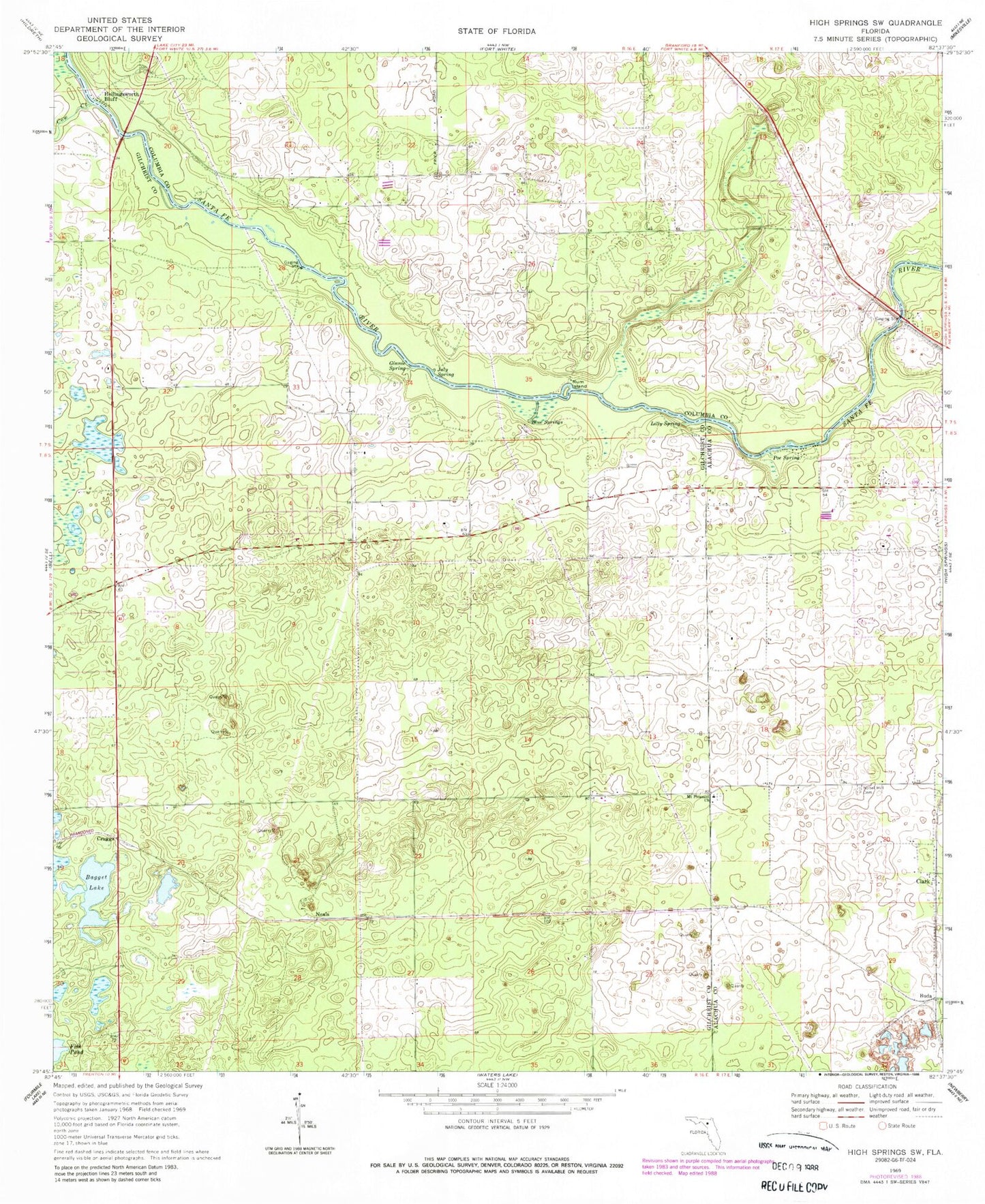
Classic USGS High Springs SW Florida 7.5'x7.5' Topo Map
Couldn't load pickup availability
Historical USGS topographic quad map of High Springs SW in the state of Florida. Typical map scale is 1:24,000, but may vary for certain years, if available. Print size: 24" x 27"
This quadrangle is in the following counties: Alachua, Columbia, Gilchrist.
The map contains contour lines, roads, rivers, towns, and lakes. Printed on high-quality waterproof paper with UV fade-resistant inks, and shipped rolled.
Contains the following named places: Bagget Lake, Blue Springs, Clark, Cow Creek, Ginnie Spring, Hollingsworth Bluff, July Spring, Lilly Spring, Mount Pleasant Baptist Church, Nobel Hill Cemetery, Poe Spring, Rum Island, Buda, Craggs, Neals, Mount Pleasant Cemetery, Central Florida Electric Cooperative Neals Substation, Cornerstone Baptist Church, Fort White Branch Library, Spring Ridge Census Designated Place, Gilchrist County Fire and Rescue Station 3


