MyTopo
Classic USGS Highland Peak Nevada 7.5'x7.5' Topo Map
Couldn't load pickup availability
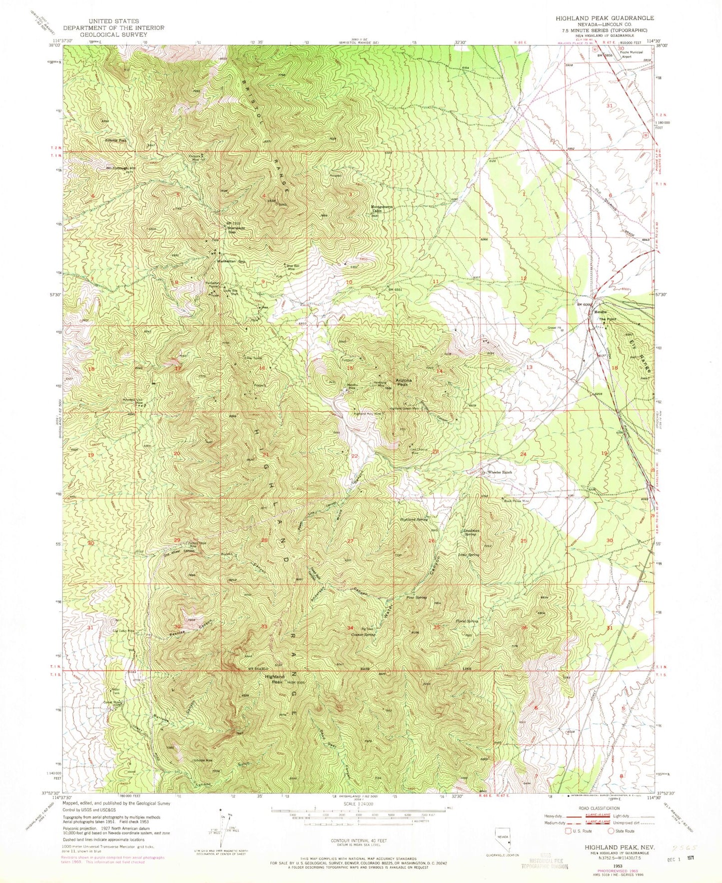
Historical USGS topographic quad map of Highland Peak in the state of Nevada. Map scale may vary for some years, but is generally around 1:24,000. Print size is approximately 24" x 27"
This quadrangle is in the following counties: Lincoln.
The map contains contour lines, roads, rivers, towns, and lakes. Printed on high-quality waterproof paper with UV fade-resistant inks, and shipped rolled.
Contains the following named places: Abbotts Fork, Anderson Canyon, Arizona Peak, Big Trees, Black Prince Mine, Blue Bell Mine, Burnt Canyon, Burrows Canyon, Comet Mine, Comet Mining District, Comet Peak, Connor Peak, Connor Spring, Dead Bull Canyon, Deadman Spring, Floral Spring, Florence Mine, Forlorn Hope Mine, Half Moon Switch, Hamburg Mine, Highland, Highland Mary Mine, Highland Mining District, Highland Peak, Highland Queen Mine, Highland Range, Highland Spring, KLNR-FM (Panaca), Last Chance Mine, Lime Spring, Log Cabin Mine, Lucky Boy Shaft, Lyndon Gulch, Manhattan Gap, Manhattan Tunnel, McCullough Hill, Mendha, Mendha Mine, Montgomerys Cabin, Mountain Lion Mine, Mountain Lion Number 29 Mine, Non Pareil Mine, One Wheel Canyon, Peaslee Canyon, Pine Spring, Pioche Metals Mine, Pioche Monitor Mines, Power Line Canyon, Schodde Mine, Sheridan Canyon, Silver Comet Mine, Smiths Cabin, Stampede Gap, Stella Mine, The Point, Tungsten Comet Mine, Water Canyon, Wheeler Mill, Wheeler Ranch, Wood Canyon, X-Ray Tunnel


