MyTopo
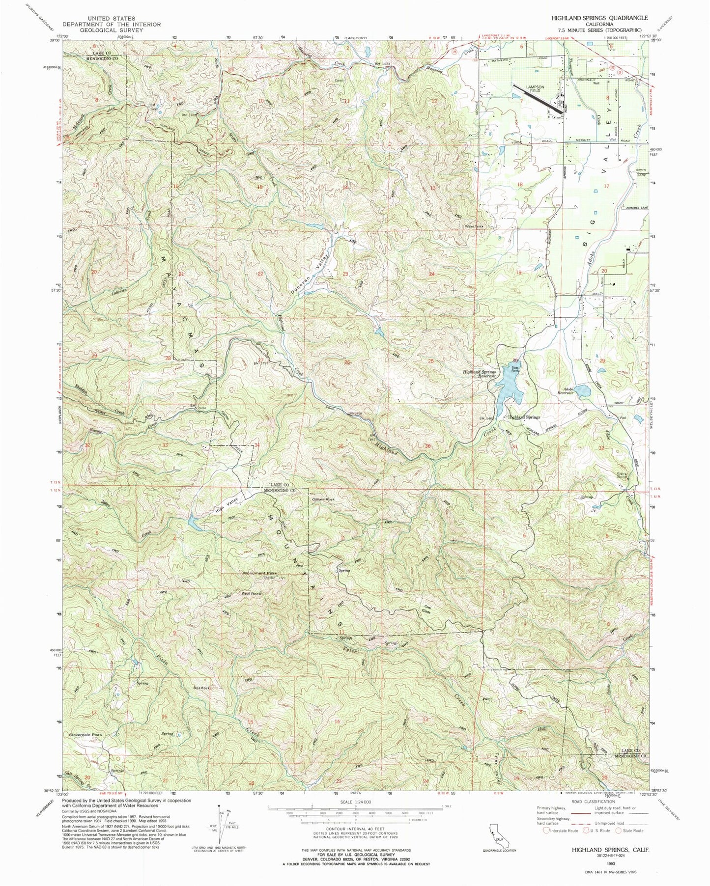
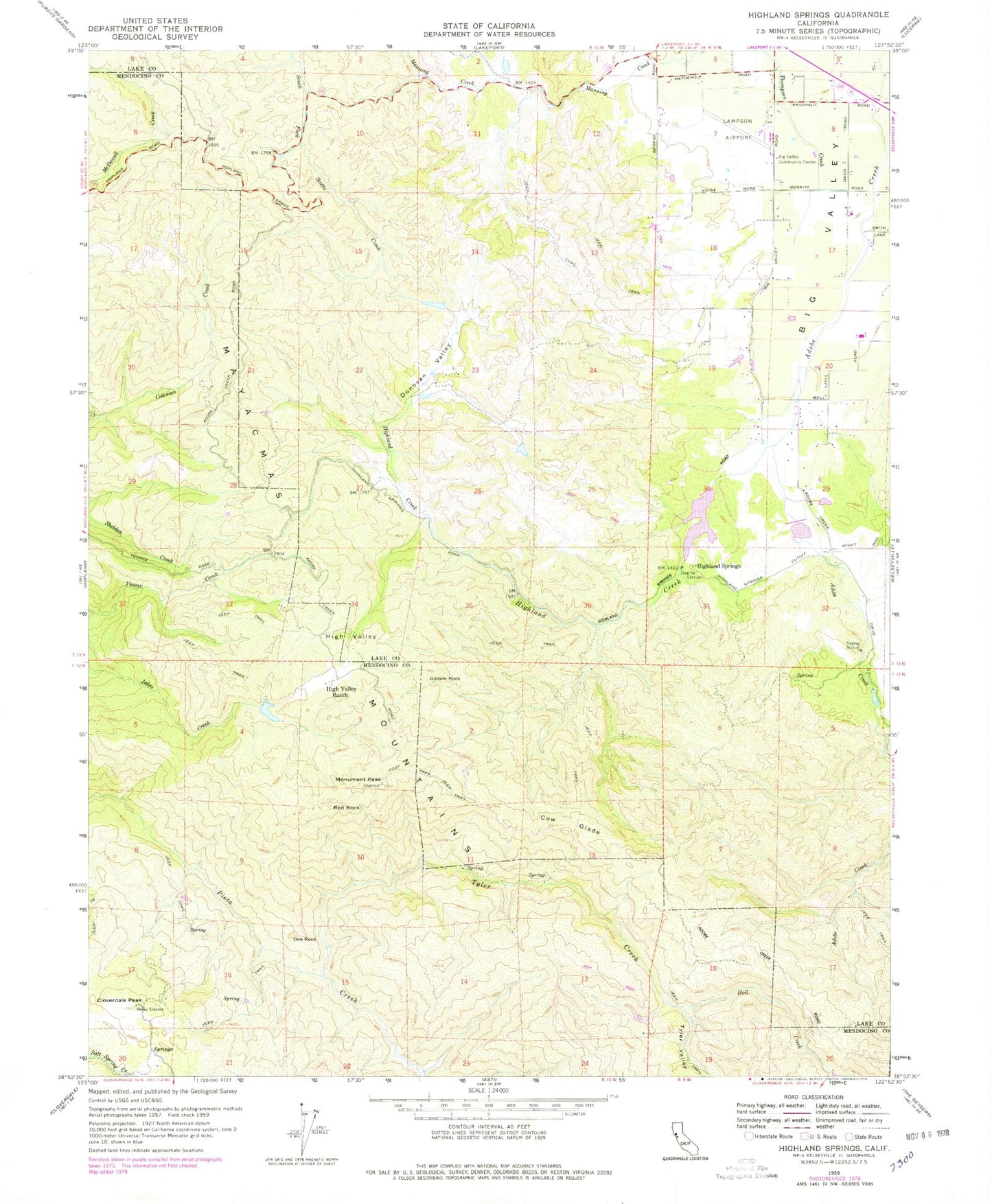
Classic USGS Highland Springs California 7.5'x7.5' Topo Map
Couldn't load pickup availability
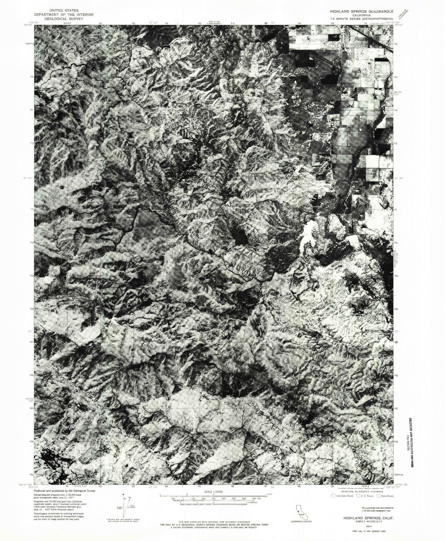
Historical USGS topographic quad map of Highland Springs in the state of California. Map scale may vary for some years, but is generally around 1:24,000. Print size is approximately 24" x 27"
This quadrangle is in the following counties: Lake, Mendocino.
The map contains contour lines, roads, rivers, towns, and lakes. Printed on high-quality waterproof paper with UV fade-resistant inks, and shipped rolled.
Contains the following named places: Adobe Creek 1011 Dam, Adobe Reservoir, Big Valley Community Center, Blood Ranch, Chateau Du Lac, Cloverdale Peak, Cow Glade, Davis Ranch, Doe Rock, Donovan Valley, Gilliam Rock, Graham 395 Dam, High Valley, High Valley Ranch, Highland Creek, Highland Creek 1011-002 Dam, Highland Springs, Highland Springs Reservoir, Hoil Creek, Kelseyville Division, Lampson Field, Manning Creek, McGoldrick Ranch, Monument Peak, Red Rock, Sheldon Ranch, Snyder Ranch, Tyler Creek, Tyler Valley