MyTopo
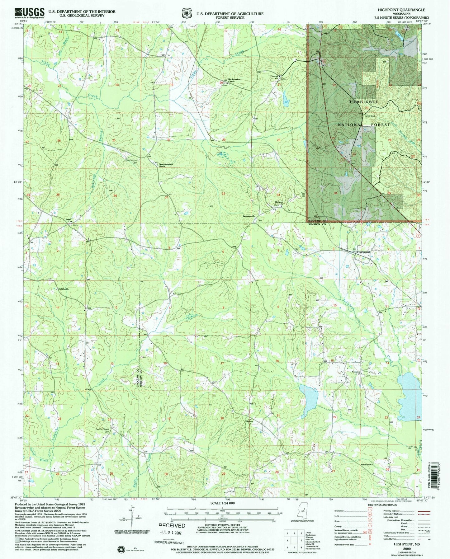
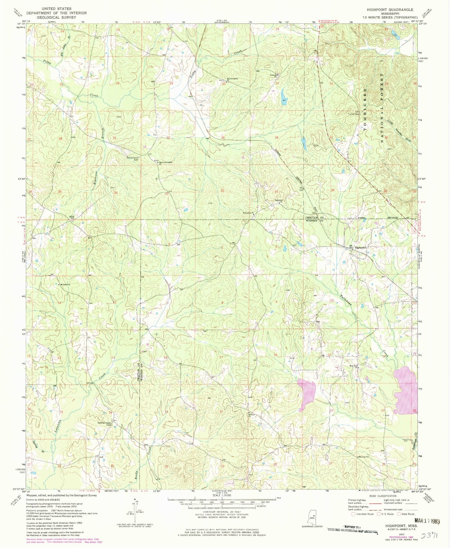
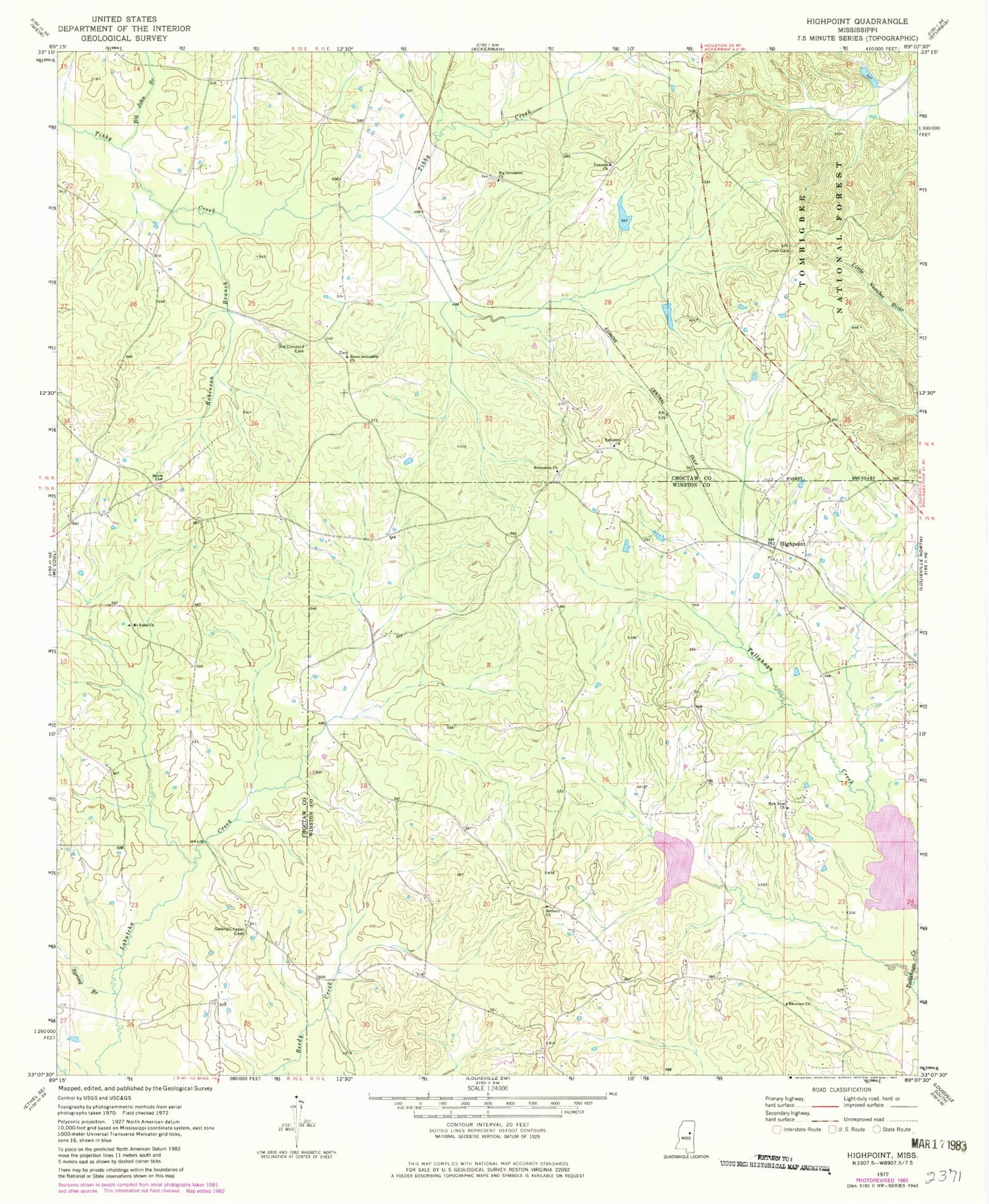
Classic USGS Highpoint Mississippi 7.5'x7.5' Topo Map
Couldn't load pickup availability
Historical USGS topographic quad map of Highpoint in the state of Mississippi. Map scale may vary for some years, but is generally around 1:24,000. Print size is approximately 24" x 27"
This quadrangle is in the following counties: Choctaw, Winston.
The map contains contour lines, roads, rivers, towns, and lakes. Printed on high-quality waterproof paper with UV fade-resistant inks, and shipped rolled.
Contains the following named places: Aubry Epps Lake Dam, Bay Branch, Bethany Church, Bethsalem Church, Bethsalem Presbyterian Church Cemetery, Big Jerusalem Cemetery, Big Jerusalem Missionary Baptist Church, Big John Branch, Charlie Ray Lake Dam, Concord Church, County Line School, Ebenezer Church, Head School, High Point Volunteer Fire Department, Highpoint, Hutchinson School, Irvin Spur, Moore Branch, Mount Nebo Church, New Jerusalem Church, New Prospect, New Zion Cemetery, New Zion Missionary Baptist Church, Noxubee Grange Hall School, Old Concord Cemetery, Opel Blane Lake Dam, Owens Chapel, Owens Chapel Cemetery, Robinson Branch, Rockport Church, Salem Church, Salem United Methodist Church Cemetery, Sister Jerusalem Church, Spay School, Spring Branch, Tallahaga Creek 3 Dam, Tallahaga Watershed Structure 6 Dam, Turner Cemetery