MyTopo
Classic USGS Hightower SW Wyoming 7.5'x7.5' Topo Map
Couldn't load pickup availability
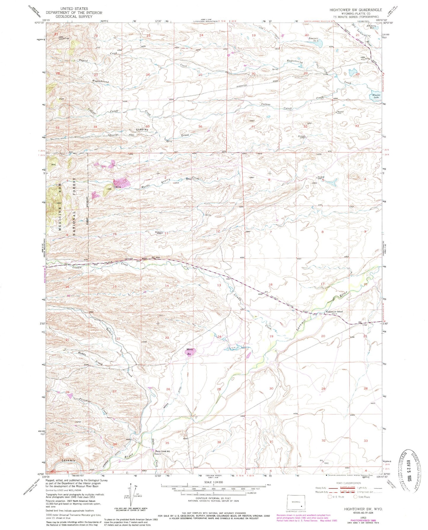
Historical USGS topographic quad map of Hightower SW in the state of Wyoming. Map scale may vary for some years, but is generally around 1:24,000. Print size is approximately 24" x 27"
This quadrangle is in the following counties: Platte.
The map contains contour lines, roads, rivers, towns, and lakes. Printed on high-quality waterproof paper with UV fade-resistant inks, and shipped rolled.
Contains the following named places: Attebury Reservoir, Bohke Reservoir, Bohnke Dam, Collins Cutoff Creek, Cramer Ditch, Dugout Creek, Hobbs Creek, J N Mertz Dam, Lucky Gus Prospect, Luman Creek, Marble Quarry Creek, May Number One Quarry, Mertz Ditch, Mertz Number 2 Dam, Mertz Reservoir, Mertz Reservoir Number 2, Naffziger Dam, Naffziger Reservoir, Paradise Creek, Pine Ditch, Rabbit Creek, Reservoir Number 1, Shapley Draw, Slate Creek, Slate Creek School, Wagonhound Creek, Wedemeyer School, Wheeler Lake, ZIP Code: 82201


