MyTopo
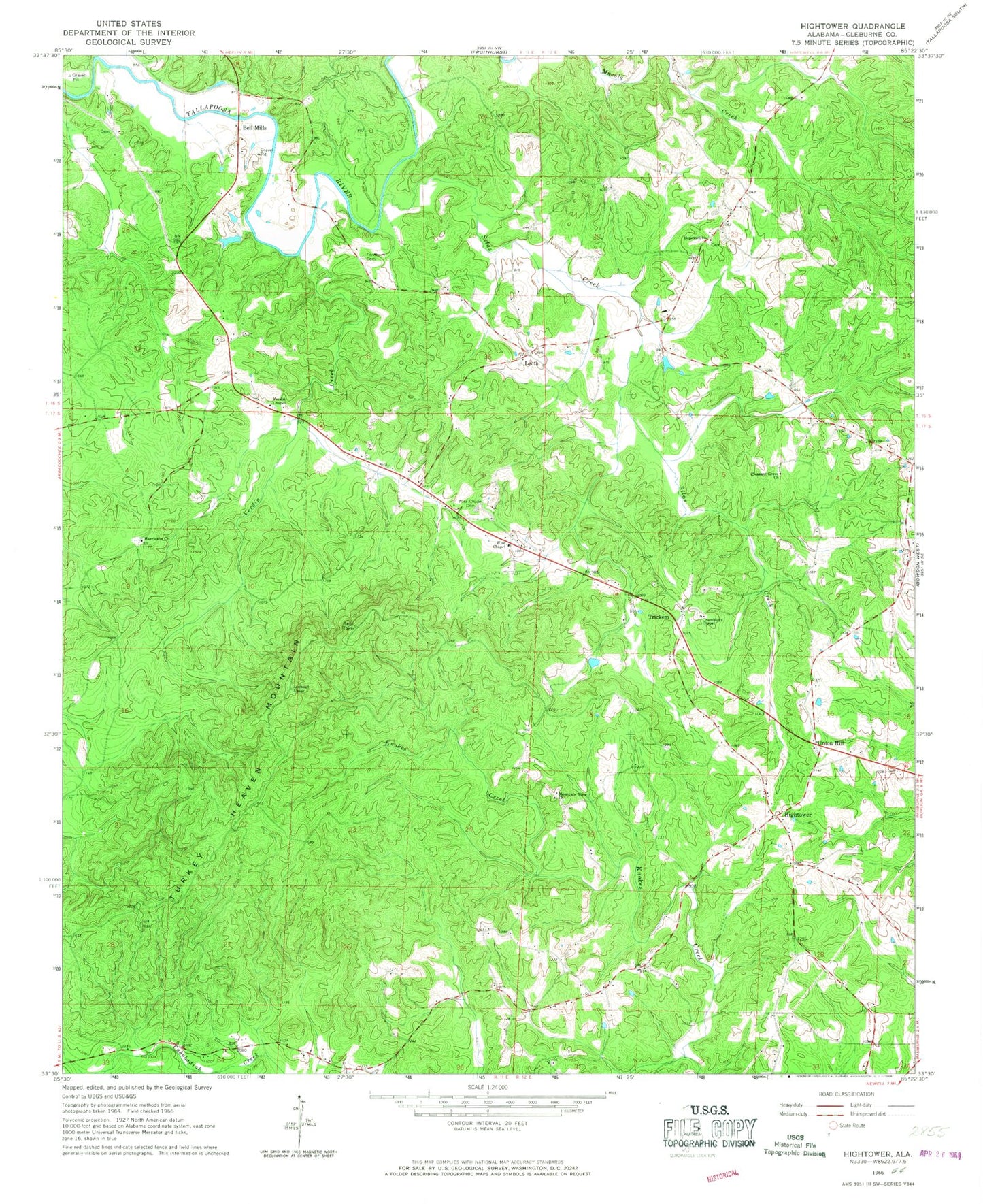
Classic USGS Hightower Alabama 7.5'x7.5' Topo Map
Couldn't load pickup availability
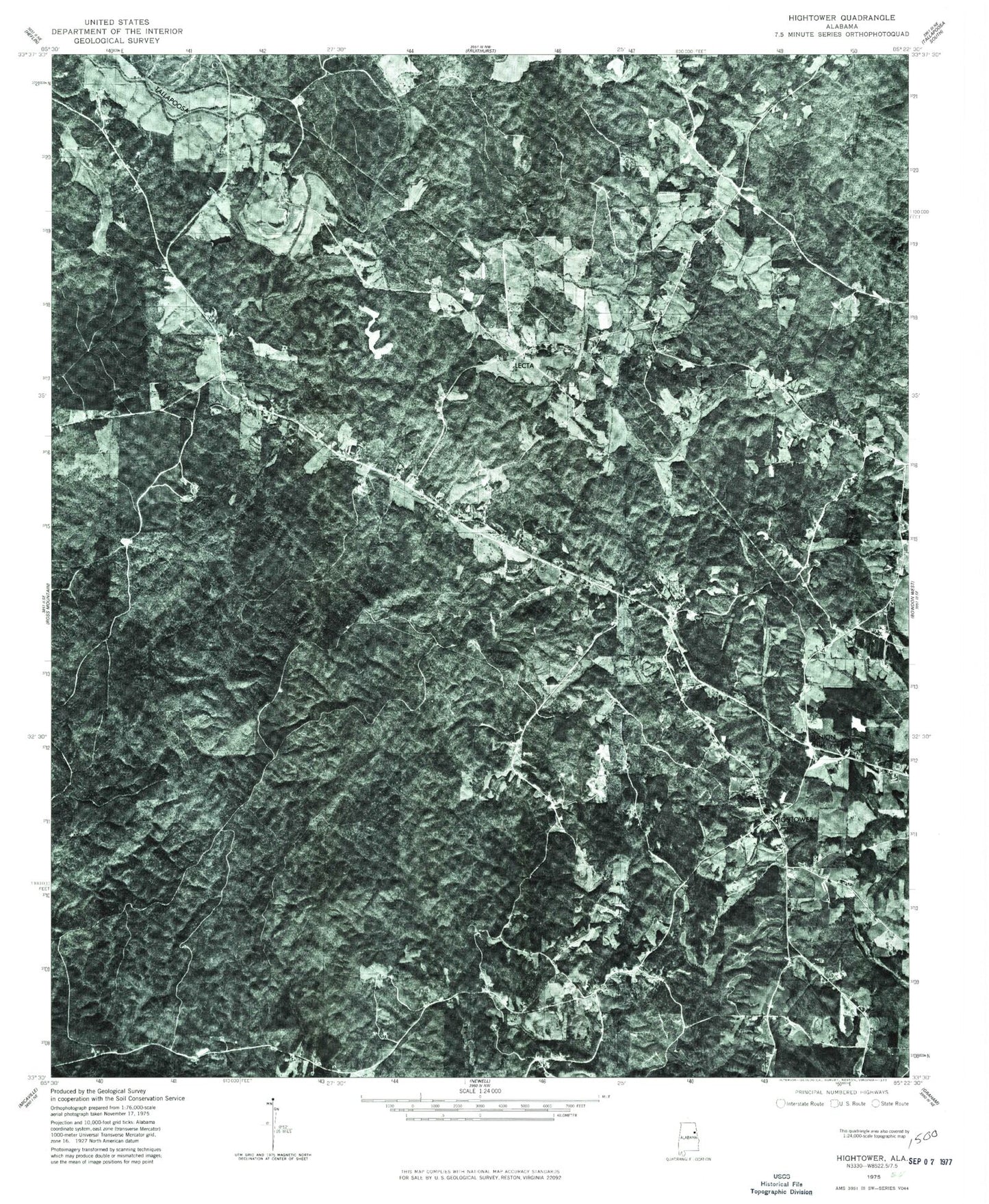
Historical USGS topographic quad map of Hightower in the state of Alabama. Typical map scale is 1:24,000, but may vary for certain years, if available. Print size: 24" x 27"
This quadrangle is in the following counties: Cleburne.
The map contains contour lines, roads, rivers, towns, and lakes. Printed on high-quality waterproof paper with UV fade-resistant inks, and shipped rolled.
Contains the following named places: Fordham Cemetery, Hightower, Hopewell Church, Hurricane United Methodist Church, Johnywady Creek, Mountain View Church, Pleasant Grove Church, Silas Creek, Turkey Heaven Mountain, Verdin Chapel, Verdin Creek, Wise Chapel Cemetery, Bee Hill, Cleburne County Vocational School, Fortner School (historical), Fowlers Store (historical), Hensen School (historical), Howles Grove Church (historical), Johns Mountain, Macedonia Church (historical), McLeroys Store (historical), Slate Hill School (historical), Turkey Heaven Mountain Lookout Tower, Union Hill Baptist Church, Wise Chapel Church, Wise School (historical), Wise Chapel United Methodist Church, Salem Grove Church, Bell Mills, Lecta, Trickem, Union Hill, Crumbleys Chapel Church of God, Ranburne Division, Crumleys Chapel Cemetery, Union Hill Baptist Church Cemetery, Turkey Heaven Volunteer Fire Department, Turkey Heaven Volunteer Fire Department Substation