MyTopo
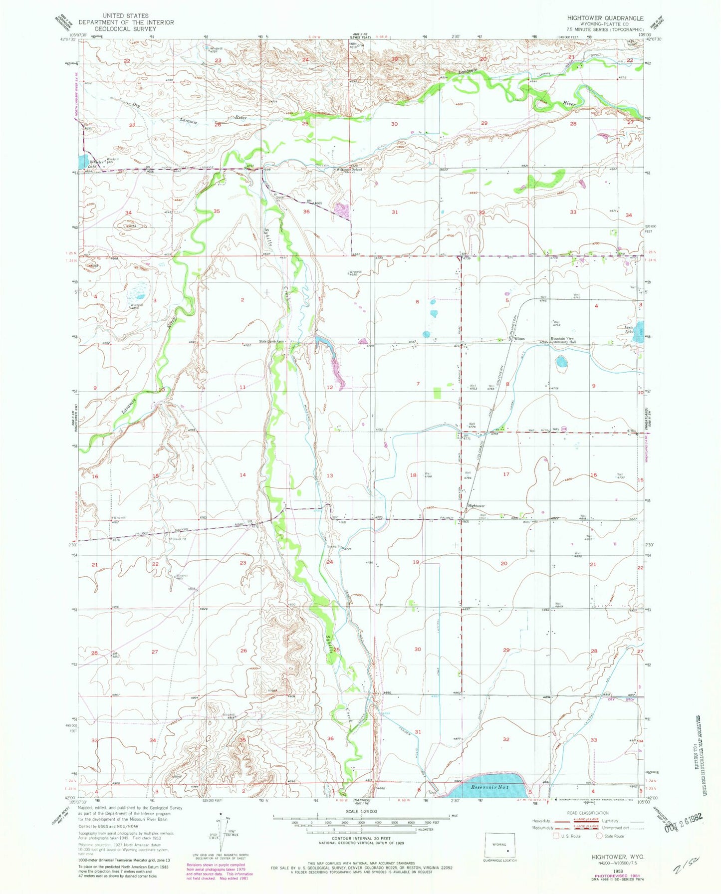
Classic USGS Hightower Wyoming 7.5'x7.5' Topo Map
Couldn't load pickup availability
Historical USGS topographic quad map of Hightower in the state of Wyoming. Map scale may vary for some years, but is generally around 1:24,000. Print size is approximately 24" x 27"
This quadrangle is in the following counties: Platte.
The map contains contour lines, roads, rivers, towns, and lakes. Printed on high-quality waterproof paper with UV fade-resistant inks, and shipped rolled.
Contains the following named places: Dry Laramie River, Feeder Ditch Number 2, Hightower, Iowa Lateral, Mountain View Community Hall, Mullen Ditch, O Bar O Number 3 Dam, O Bar O Number 3 Reservoir, Old Muleshoe Drain Ditch, Sybille Creek, Utter Dam, Utter Reservoir, Westview Circle, Westview Circle Census Designated Place, Wheatland Division, Wilkinson School