
MyTopo
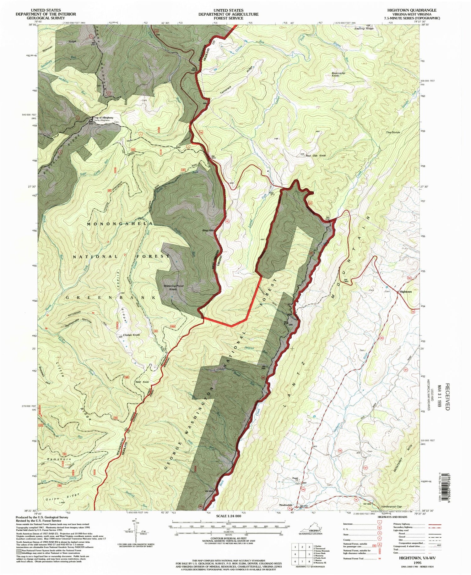
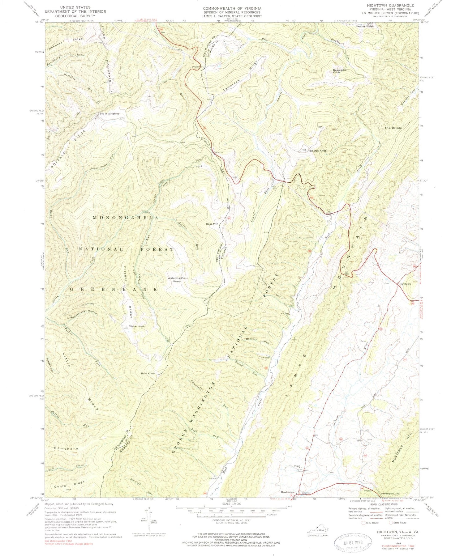
Classic USGS Hightown Virginia 7.5'x7.5' Topo Map
Couldn't load pickup availability
Historical USGS topographic quad map of Hightown in the states of Virginia, West Virginia. Map scale may vary for some years, but is generally around 1:24,000. Print size is approximately 24" x 27"
This quadrangle is in the following counties: Highland, Pocahontas.
The map contains contour lines, roads, rivers, towns, and lakes. Printed on high-quality waterproof paper with UV fade-resistant inks, and shipped rolled.
Contains the following named places: Bald Knob, Bare Ridge, Bear Mountain, Bearcamp Knob, Blights Run, Block Run, Blue Grass District, Broad Run, Campbell Run, Collins Run, Elleber Knob, Elleber Ridge, Elleber Run, Frank Mountain, Griffin Run, Guinn Ridge, Hevener Run, Hightown, Little Ridge, Meadowdale, Mount Hobart Methodist Church, Mountain Path, Mulberry Run, Page Run, Pisgah Church, Ramshorn, Rattlesnake Hollow, Rattlesnake Trail, Red Oak Knob, Sapling Ridge, Spencer Ridge, Sugar Camp Run, Summit School, Tamarack Ridge, The Divide, Top Allegheny Chapel, Top of Allegheny, Vanderpool Gap, Watering Pond Knob, Wilmoth Cemetery, ZIP Code: 24465


