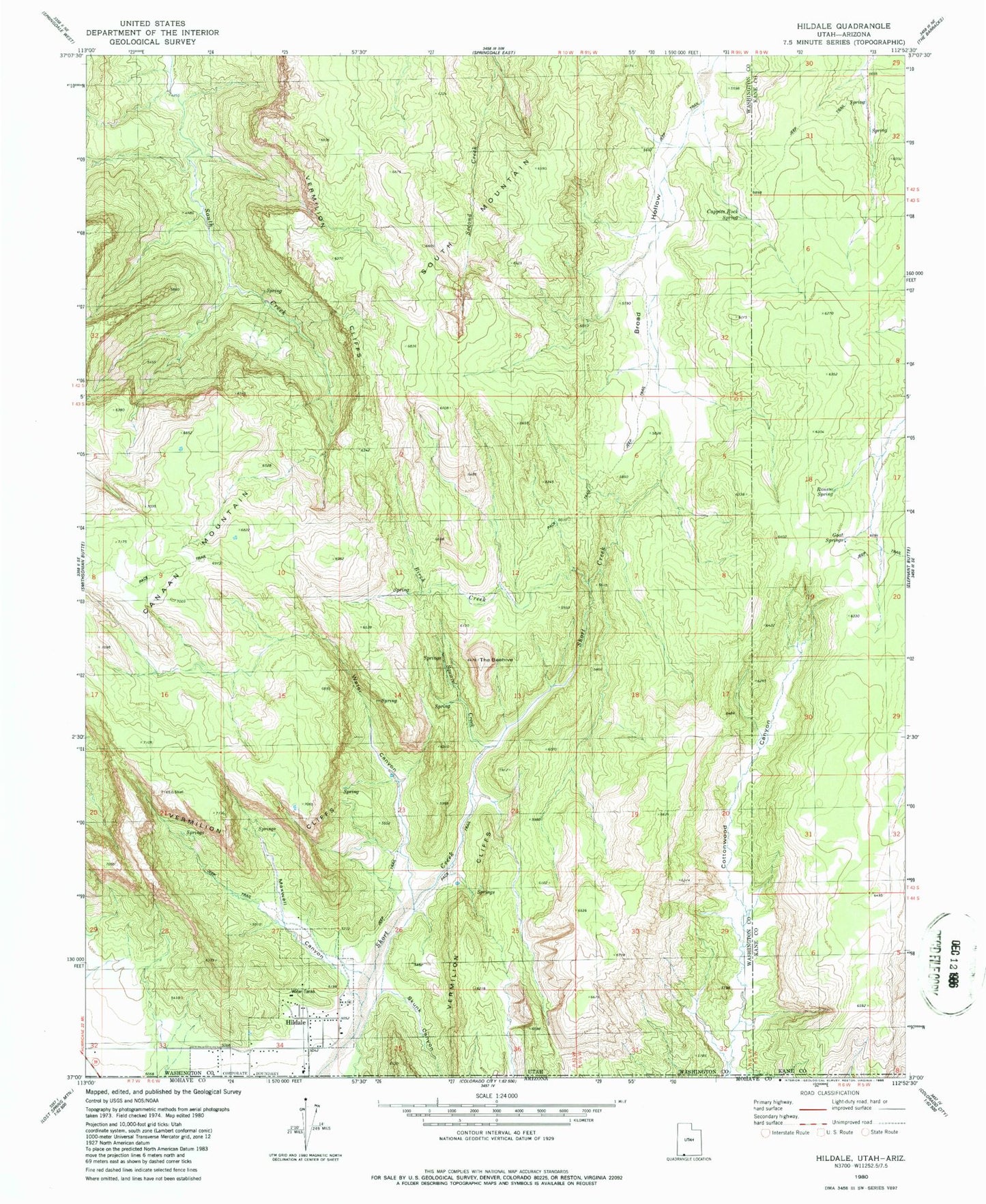
MyTopo
Classic USGS Hildale Utah 7.5'x7.5' Topo Map
Couldn't load pickup availability
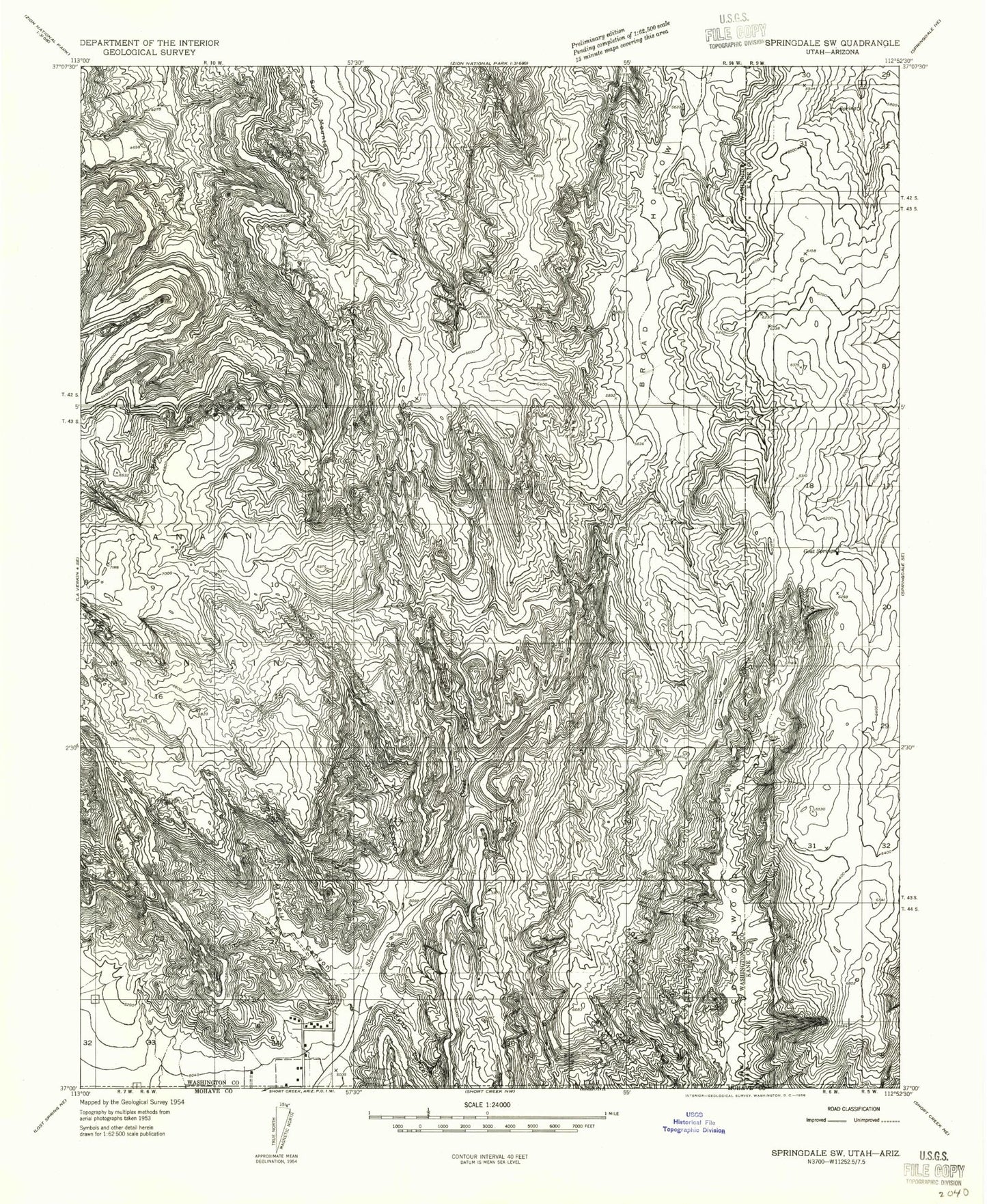
Historical USGS topographic quad map of Hildale in the state of Utah. Typical map scale is 1:24,000, but may vary for certain years, if available. Print size: 24" x 27"
This quadrangle is in the following counties: Kane, Mohave, Washington.
The map contains contour lines, roads, rivers, towns, and lakes. Printed on high-quality waterproof paper with UV fade-resistant inks, and shipped rolled.
Contains the following named places: Skunk Canyon, Goat Springs, Maxwell Canyon, South Mountain, Squirrel Creek, Water Canyon, The Beehive, Birch Creek, Canaan Mountain RV Closure Area, Cappies Rock Spring, Phelps School, Ronso Spring, Hildale, Skunk Canyon, City of Hildale, Hildale Fire Department, Canaan Mountain Wilderness, Hildale Infant Cemetery