MyTopo
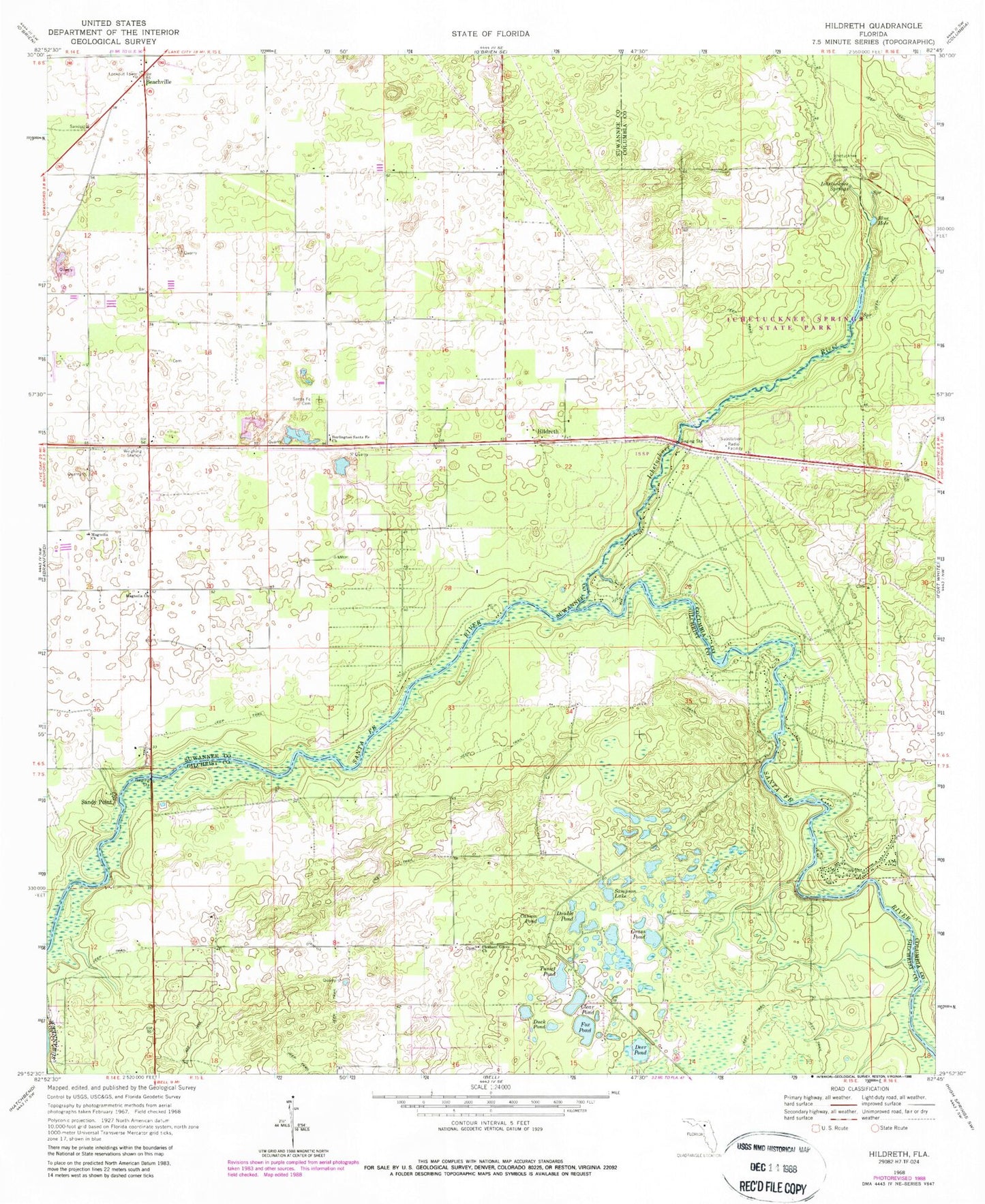
Classic USGS Hildreth Florida 7.5'x7.5' Topo Map
Couldn't load pickup availability
Historical USGS topographic quad map of Hildreth in the state of Florida. Typical map scale is 1:24,000, but may vary for certain years, if available. Print size: 24" x 27"
This quadrangle is in the following counties: Columbia, Gilchrist, Suwannee.
The map contains contour lines, roads, rivers, towns, and lakes. Printed on high-quality waterproof paper with UV fade-resistant inks, and shipped rolled.
Contains the following named places: Beachville, Blue Hole, Burlington Santa Fe Church of Christ, Casson Pond, Clear Pond, Deer Pond, Double Pond, Duck Pond, Fox Pond, Grass Pond, Ichetucknee Cemetery, Ichetucknee River, Ichetucknee Springs, Magnolia Church (historical), Magnolia Church (historical), Pleasant Grove Church, Sampson Lake, Santa Fe Cemetery, Tusset Pond, Hildreth, Sandy Point, New Grove Church, Beachville Fire Tower, Beachville Advent Christian Church, Lanier Railroad Station, Ichetucknee Springs State Park, Fort White (historical), Fox Field, Sandy Point Trailer Park, True Life Apostolic Church, Fort White Library, Fort White Progress Energy Radio Tower, Fort White Progress Energy Substation, River Run Campground, Icheetucknee River Baptist Church, Suwannee Valley Electric Cooperative Walker Substation, Ranchette Volunteer Fire Department, Suwannee County Fire Rescue Station 3, Landmark Baptist Church, Lebanon Baptist Church, Gilchrist County Fire and Rescue Station 2, Thompson Airfield (historical), Flying C Farm Airport


