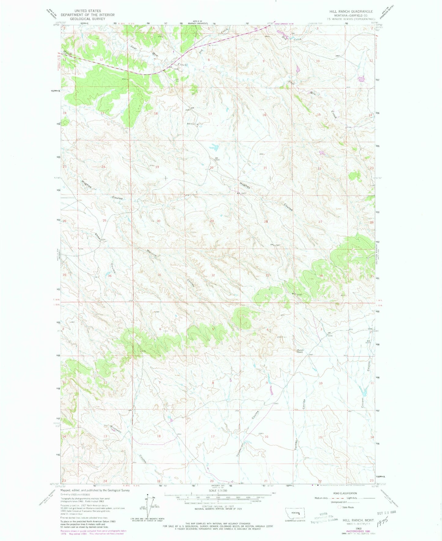
MyTopo
Classic USGS Hill Ranch Montana 7.5'x7.5' Topo Map
Regular price
$16.95
Regular price
Sale price
$16.95
Unit price
per
Couldn't load pickup availability
Historical USGS topographic quad map of Hill Ranch in the state of Montana. Map scale may vary for some years, but is generally around 1:24,000. Print size is approximately 24" x 27"
This quadrangle is in the following counties: Garfield.
The map contains contour lines, roads, rivers, towns, and lakes. Printed on high-quality waterproof paper with UV fade-resistant inks, and shipped rolled.
Contains the following named places: Dog Creek, Dutch Oven, Fort Musselshell Historical Marker, Hill Ranch, Melnick Coulee, Montana Number 26 Dam, North Fork Sage Hen Creek, Shaw Dam, Shaw Number 1 Dam