MyTopo
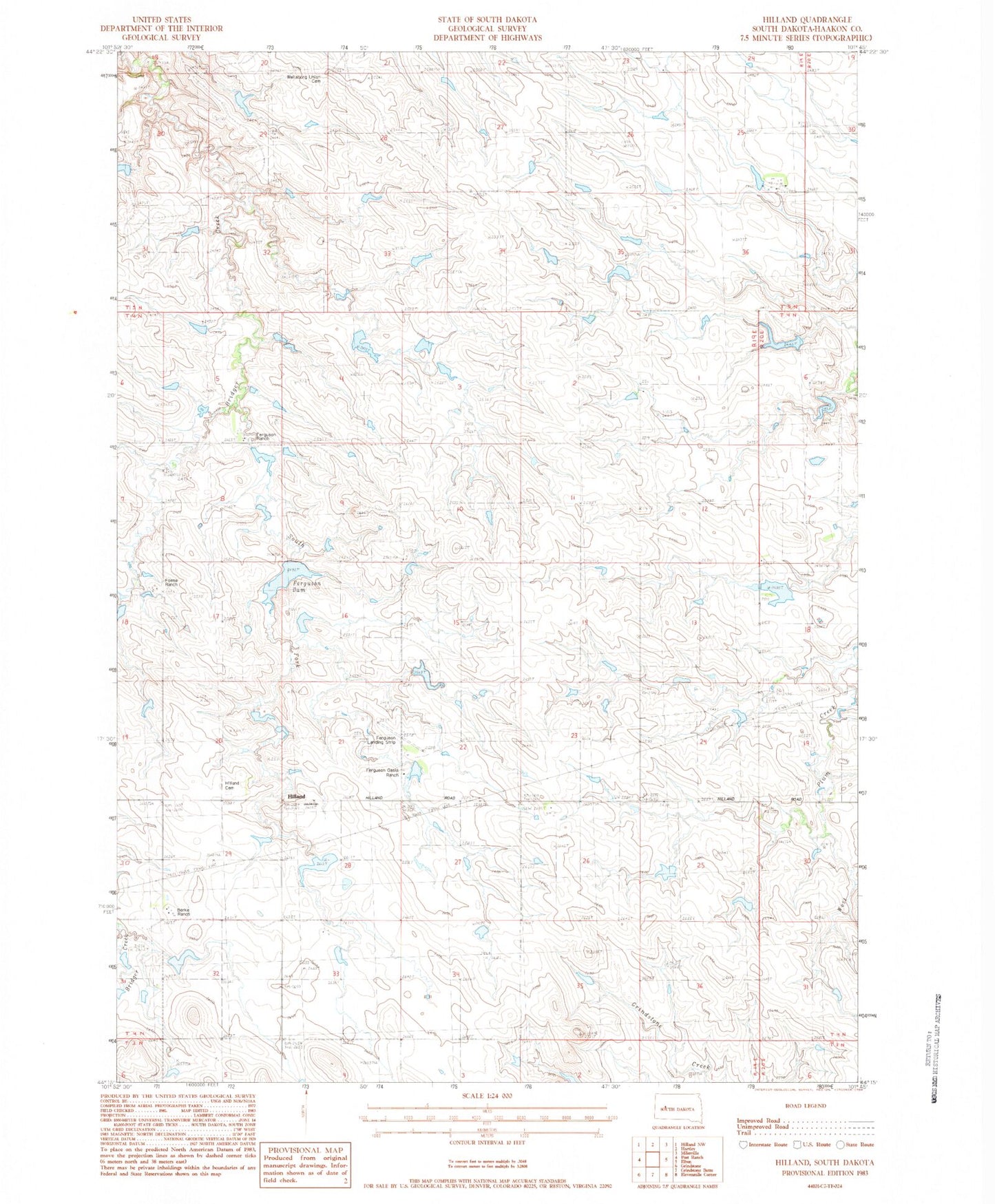
Classic USGS Hilland South Dakota 7.5'x7.5' Topo Map
Couldn't load pickup availability
Historical USGS topographic quad map of Hilland in the state of South Dakota. Map scale may vary for some years, but is generally around 1:24,000. Print size is approximately 24" x 27"
This quadrangle is in the following counties: Haakon.
The map contains contour lines, roads, rivers, towns, and lakes. Printed on high-quality waterproof paper with UV fade-resistant inks, and shipped rolled.
Contains the following named places: Berke Ranch, Donald Ferguson Dam, Ferguson Dam, Ferguson Landing Strip, Ferguson Oasis Ranch, Ferguson Ranch, Fosse Ranch, Hilland, Hilland Cemetery, Reese Williams Dam, South Fork Bridger Creek, Township of Bridge Creek, Unorganized Territory of West Haakon, Wellsburg Union Cemetery