MyTopo
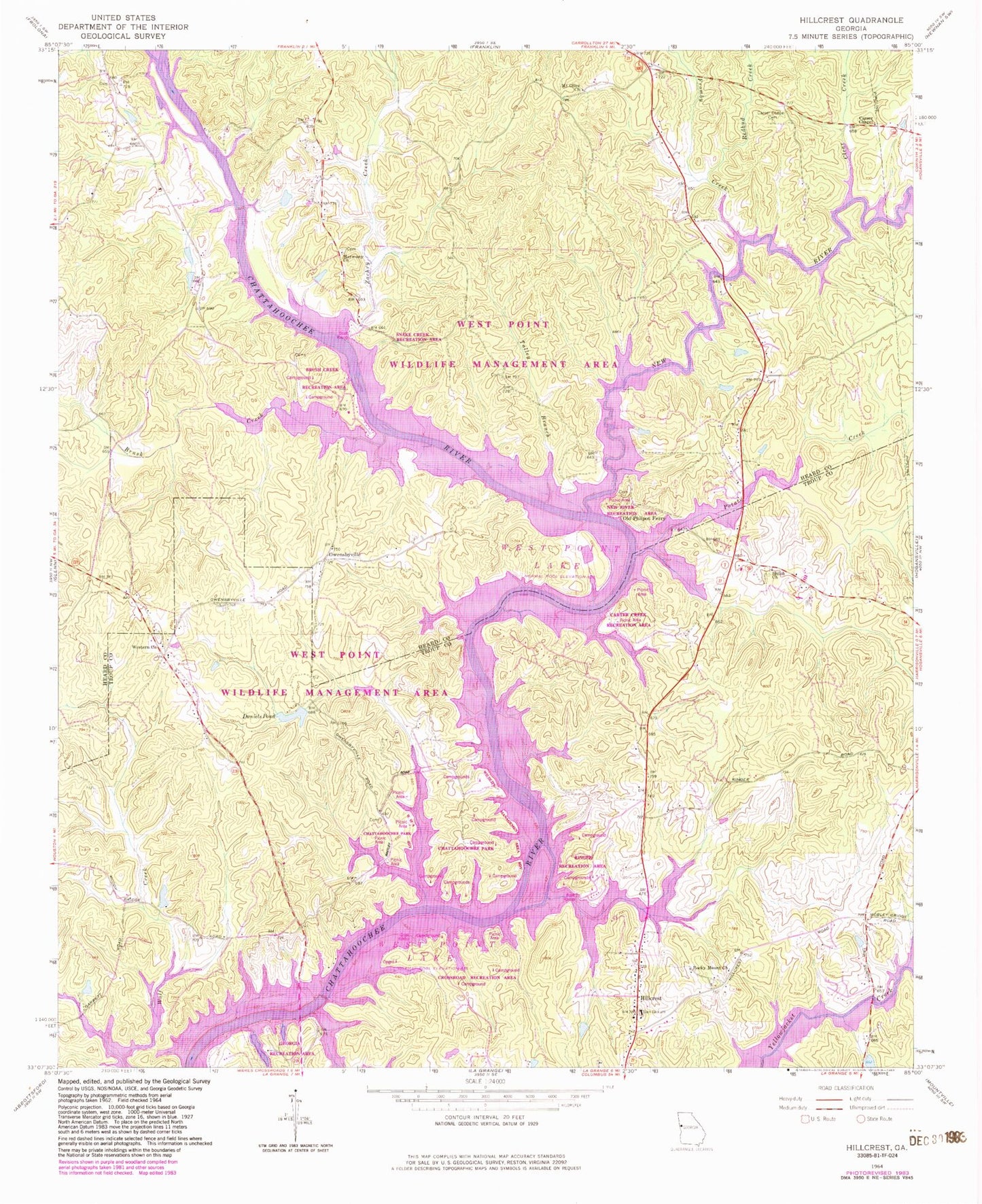
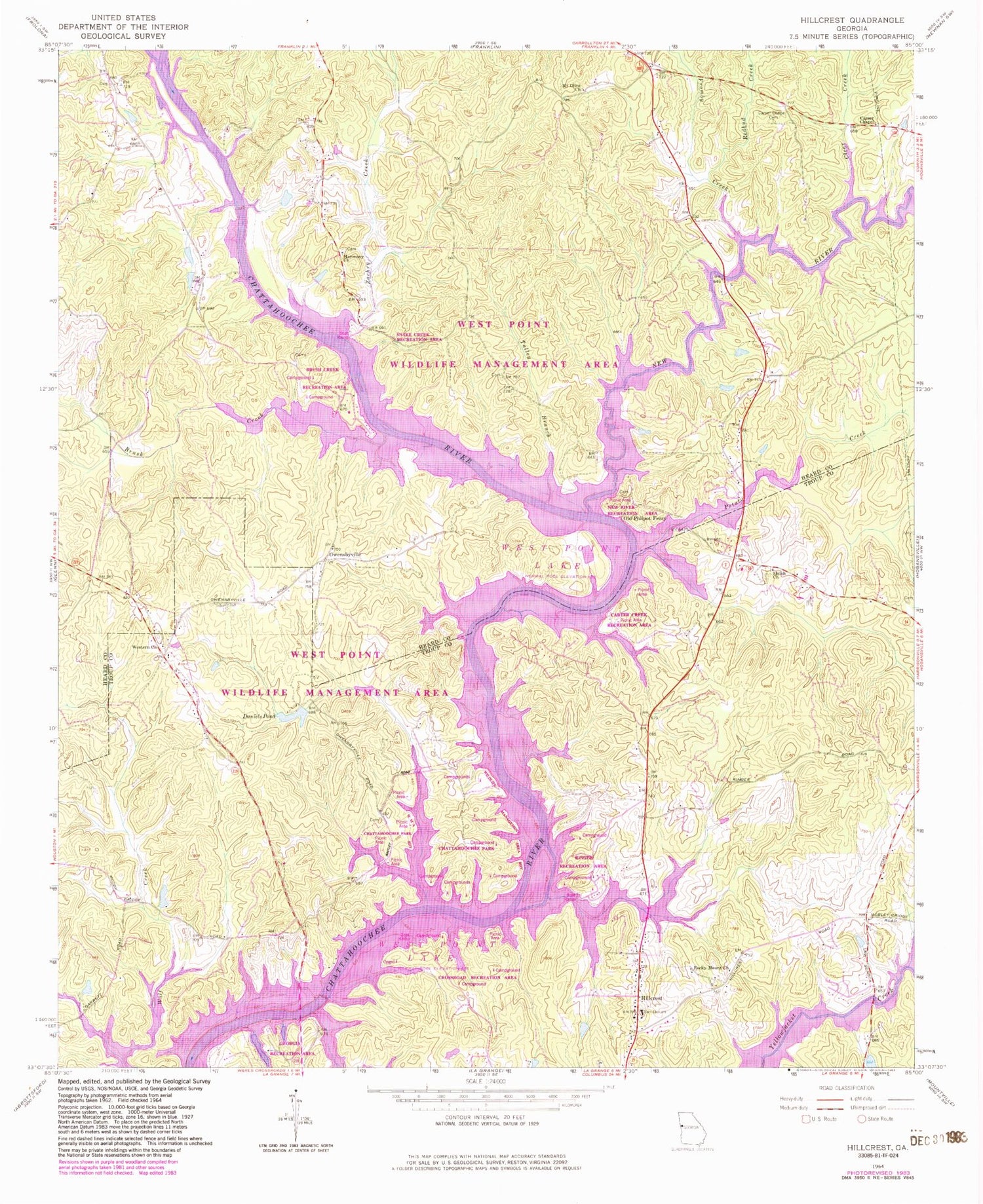
Classic USGS Hillcrest Georgia 7.5'x7.5' Topo Map
Couldn't load pickup availability
Historical USGS topographic quad map of Hillcrest in the state of Georgia. Map scale may vary for some years, but is generally around 1:24,000. Print size is approximately 24" x 27"
This quadrangle is in the following counties: Heard, Troup.
The map contains contour lines, roads, rivers, towns, and lakes. Printed on high-quality waterproof paper with UV fade-resistant inks, and shipped rolled.
Contains the following named places: Brown Crossroad, Brush Creek, Brush Creek Recreation Area, Buena Vista, Buttrill Cemetery, Capstan, Carser Chapel, Carser Chapel Cemetery, Carter Creek Recreational Area, Chattahoochee Park, Clear Creek, Cooksville Fire Department Station 8, Crossroad Recreation Area, Daniels Pond, Dowell Cemetery, Five Points, Foster Dam, Foster Lake, Fromby Creek, Georgia Recreation Area, Graysons Landing, Harbor Hospital, Harmony Church Cemetery, Harmony School, Harris Cemetery, Hillabahatchee Creek, Hillcrest, Hillcrest Baptist Church, Hillcrest Division, Hillcrest Methodist Church, Indian Bend, Moody Bridge, Mooty Ferry, Mount Olive Church, New Harmony Church, New River, New River Recreation Area, North Lakeside, Old Harmony Cemetery, Old Mount Olive Cemetery, Old Philpot Ferry, Old Shiloh Church Cemetery, Owensby Cemetery, Owensbyville, Philpot Cemetery, Point North, Potato Creek, Purgason Cemetery, Rains Cemetery, Redbud Creek, Ringer Recreation Area, Rocky Mount Church, Shiloh Church, Snake Creek Recreation Area, Swanson Island, Talley Branch, Troup County Fire Department Station 2, Western Baptist Church, Zachry Creek


