
MyTopo
Classic USGS Hiller Mountains Nevada 7.5'x7.5' Topo Map
Couldn't load pickup availability
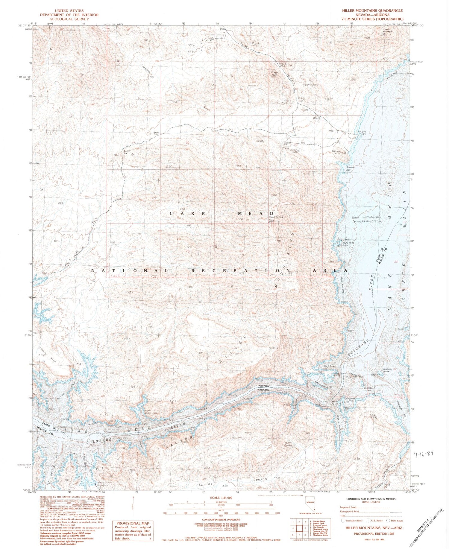
Historical USGS topographic quad map of Hiller Mountains in the states of Nevada, Arizona. Typical map scale is 1:24,000, but may vary for certain years, if available. Print size: 24" x 27"
This quadrangle is in the following counties: Clark, Mohave.
The map contains contour lines, roads, rivers, towns, and lakes. Printed on high-quality waterproof paper with UV fade-resistant inks, and shipped rolled.
Contains the following named places: Black Box, Burro Bay, Eureka Mine, Gregg Basin, Gregg Wash, Hiller Mountains, Joker Mine, Jumbo Mine, Jumbo Pass, Powell Mountain, Scanlon Hill, Scanlon Wash, Little Burro Bay, Temple Mesa, Union Mine, Virgin Reef, Gregg Peak, Scanlon Bay, Powell Bay, Gold Cross Bay, Reef Bay, Round Rock Point, Wild Burro Wash, Hualpai Rapids (historical), Gold Cross Peak, Burro Spring, Channel Island, Channel Reef, Granite Cove, Hualapai Wash, Rocky Point, Salt Spring Bay, Spring Canyon, Spring Cove, Old Senator Mill (historical), Smith Ranch (historical), Slide Cove, Channel Bay, Hualapai Bay, Greggs Hideout, Hualapai Island


