MyTopo
Classic USGS Hilliards Pennsylvania 7.5'x7.5' Topo Map
Couldn't load pickup availability
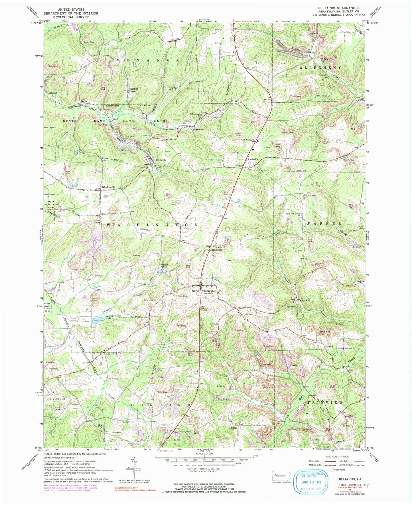
Historical USGS topographic quad map of Hilliards in the state of Pennsylvania. Typical map scale is 1:24,000, but may vary for certain years, if available. Print size: 24" x 27"
This quadrangle is in the following counties: Butler.
The map contains contour lines, roads, rivers, towns, and lakes. Printed on high-quality waterproof paper with UV fade-resistant inks, and shipped rolled.
Contains the following named places: Annisville, Argentine, Christy Run, Higgins Corner, Hilldale, North Washington, North Washington School, Parsonville, Rays Run, Saint Paschals Church, Whiskerville, Harbar Acres Lake, Ferris, Keenan, Peaceful Valley, Walley Mill, Daubenspeck School (historical), Emery School (historical), Smith School (historical), Glenn School (historical), Woodlawn School (historical), Pisor School (historical), Oak Dell School (historical), Blair School, Cochran School, Seaton School (historical), Campbell School, Mount Vernon Church, Township of Washington, Hilliards, North Washington Volunteer Fire Department Station 30, Hilliards Post Office, North Washington Post Office, New Salem Cemetery, Mount Varnum Cemetery, Old North Washington Methodist Cemetery, North Washington Union Cemetery, Rosewood Cemetery, Saint Paschal Cemetery


