MyTopo
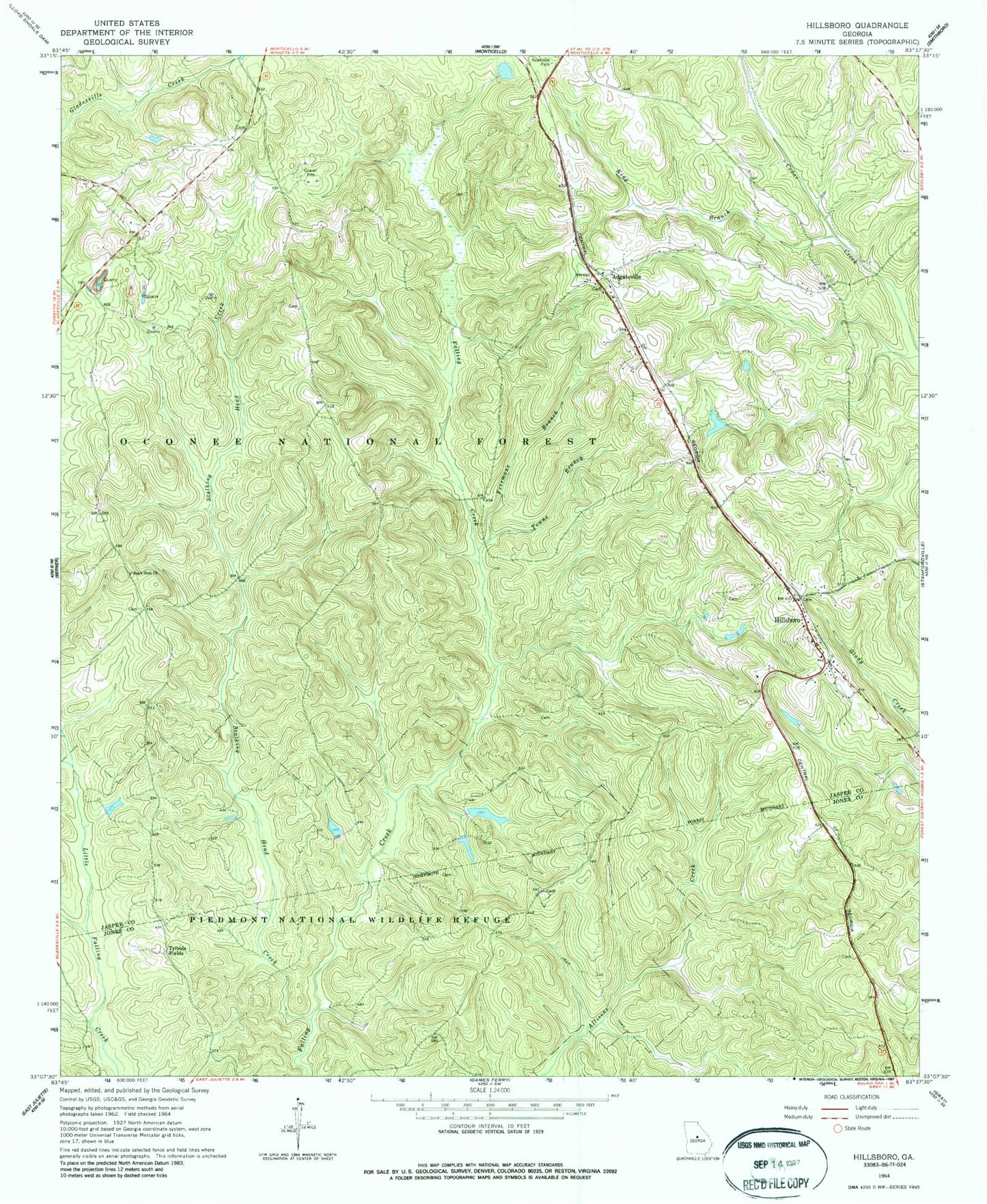
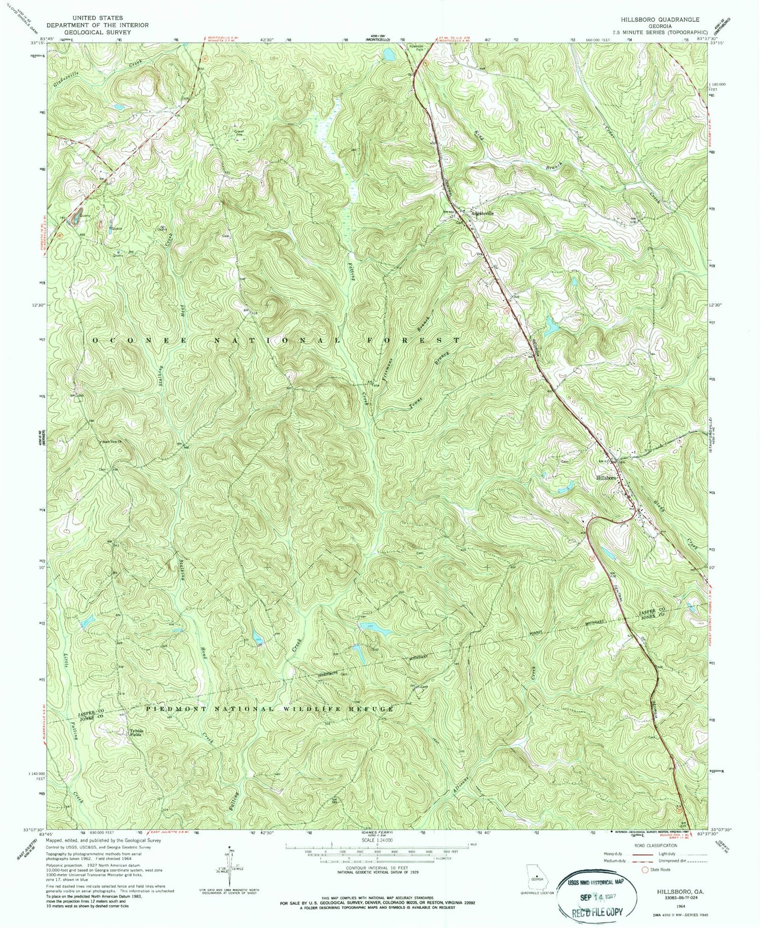
Classic USGS Hillsboro Georgia 7.5'x7.5' Topo Map
Couldn't load pickup availability
Historical USGS topographic quad map of Hillsboro in the state of Georgia. Typical map scale is 1:24,000, but may vary for certain years, if available. Print size: 24" x 27"
This quadrangle is in the following counties: Jasper, Jones.
The map contains contour lines, roads, rivers, towns, and lakes. Printed on high-quality waterproof paper with UV fade-resistant inks, and shipped rolled.
Contains the following named places: Freemans Branch, Gladesville Creek, King Branch, Little Gladesville Creek, Rock Zion Church, Towns Branch, Tribble Fields, Deep Well Hunt Camp, Lungsford Hunt Camp, OIG Hunt Camp, Hillsboro Hunt Camp, John H Tillman Cemetery, Camp Six Hunt Camp, Piedmont Wildlife Lake Dam, Piedmont Wildlife Lake, John Gordon Cemetery, Adgateville Baptist Church, Crossroad Church, Hardin School (historical), Hay House Church, Hillsboro Baptist Church, Hillsboro Post Office, Hillsboro United Methodist Church, King Chapel, Kunsford (historical), Maddox Chapel Church, McKissack Church, Newby Branch, Hillsboro Baptist Cemetery, Adgateville, Hillsboro, Stalking Head Creek, Hillsboro Division, Jasper County Emergency Services Station 4 Hillsboro


