MyTopo
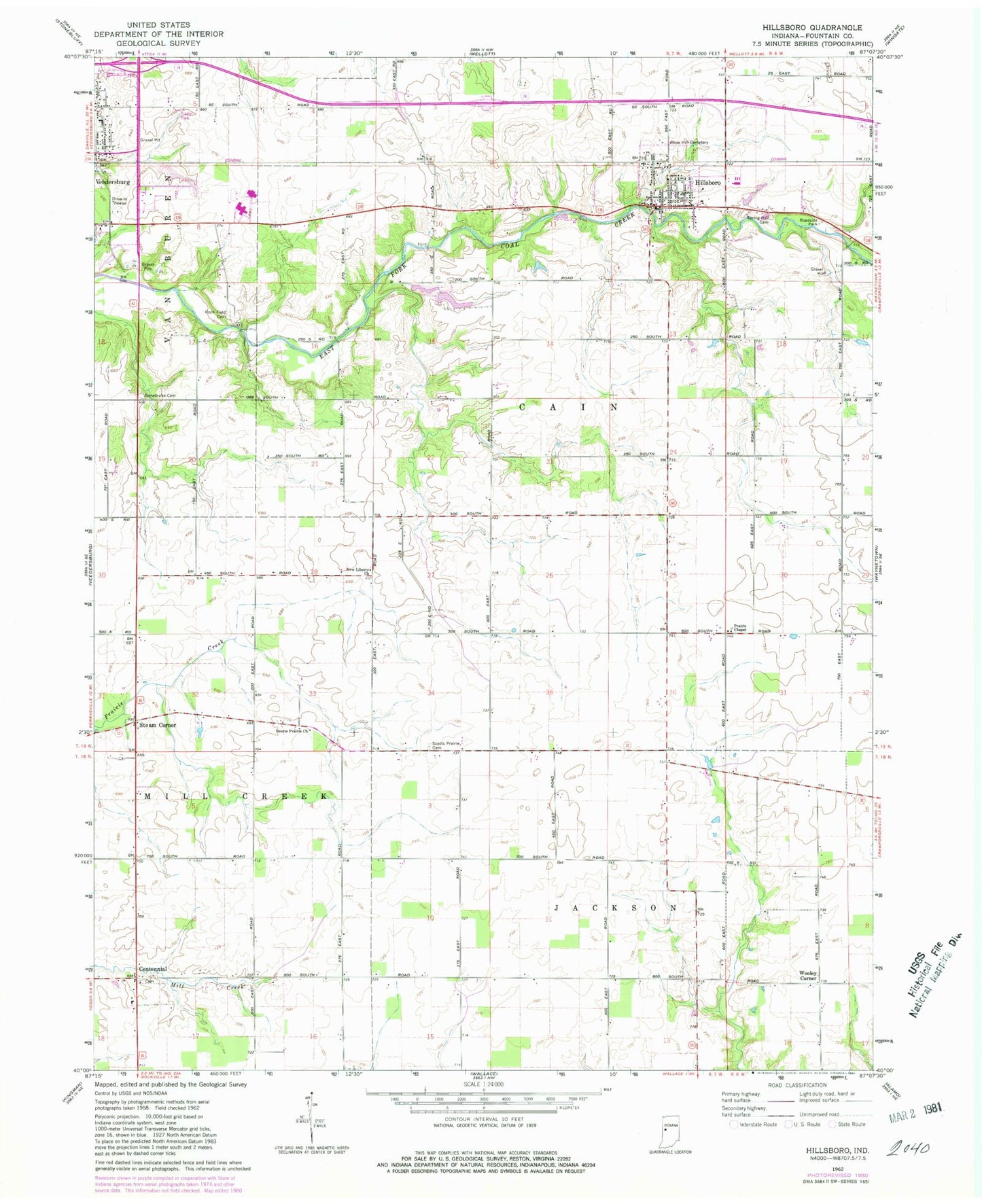
Classic USGS Hillsboro Indiana 7.5'x7.5' Topo Map
Couldn't load pickup availability
Historical USGS topographic quad map of Hillsboro in the state of Indiana. Map scale may vary for some years, but is generally around 1:24,000. Print size is approximately 24" x 27"
This quadrangle is in the following counties: Fountain.
The map contains contour lines, roads, rivers, towns, and lakes. Printed on high-quality waterproof paper with UV fade-resistant inks, and shipped rolled.
Contains the following named places: Bonebrake Cemetery, Centennial, Centennial Cemetery, Fountain County, Fountain County Ambulance Service, Hillsboro, Hillsboro Fire Station, Hillsboro Post Office, Hillsboro Town Marshal, New Liberty Church, Prairie Chapel, Rockfield Cemetery, Rose Hill Cemetery, Scotts Prairie Cemetery, Scotts Prairie Church, Spring Hill Cemetery, Steam Corner, Town of Hillsboro, Township of Cain, Wooley Corner, ZIP Code: 47949