MyTopo
Classic USGS Hillsboro Kentucky 7.5'x7.5' Topo Map
Couldn't load pickup availability
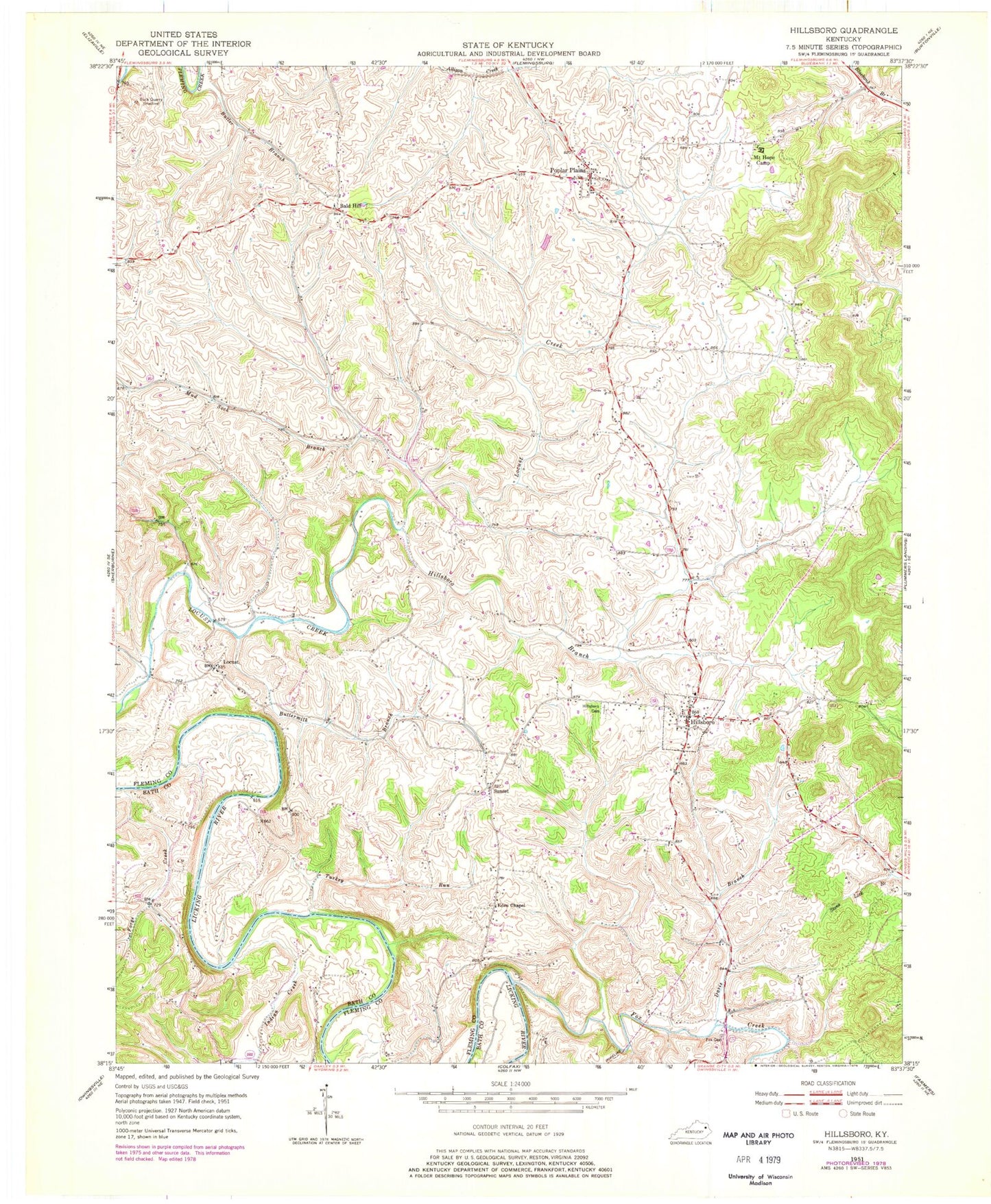
Historical USGS topographic quad map of Hillsboro in the state of Kentucky. Map scale may vary for some years, but is generally around 1:24,000. Print size is approximately 24" x 27"
This quadrangle is in the following counties: Bath, Fleming.
The map contains contour lines, roads, rivers, towns, and lakes. Printed on high-quality waterproof paper with UV fade-resistant inks, and shipped rolled.
Contains the following named places: Bald Hill, Bald Hill Church, Big Davis Trestle, Blue Bell School, Butler Branch, Buttermilk Branch, Chalybeate Spring, Davis Branch, Days Mill, Eden Chapel, Eden Chapel School, Fleming County, Forge Creek, Fox Cemetery, Fox Creek, Graham Trestle Bridge, Grange City Covered Bridge Historical Marker, Grange City Fox Creek Bridge, Grassland, Hillsboro, Hillsboro Branch, Hillsboro Cemetery, Hillsboro Methodist Church, Hillsboro Post Office, Hillsboro Volunteer Fire Department, Indian Creek, Locust, Locust Graveyard Hill, Locust Grove Cemetery, Locust Methodist Church, Mount Hope Camp, Mud Sock Branch, New Hope Presbyterian Church, Pleasant Grove Mills Post Office, Poplar Plains, Poplar Plains Post Office, Samuels Trestle Bridge, South Lick Branch, Sunset, Sunset Post Office, Sunset School, Turkey Run, ZIP Code: 41049