MyTopo
Classic USGS Hillsdale Mississippi 7.5'x7.5' Topo Map
Couldn't load pickup availability
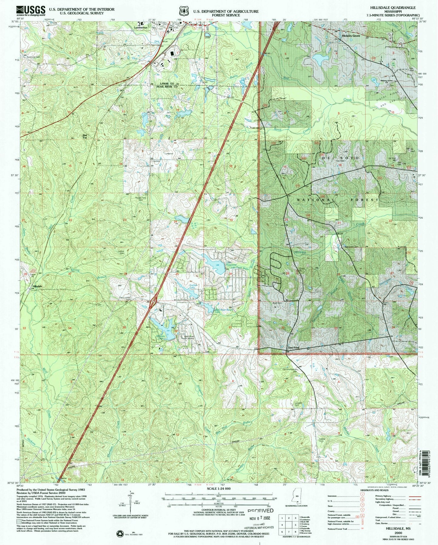
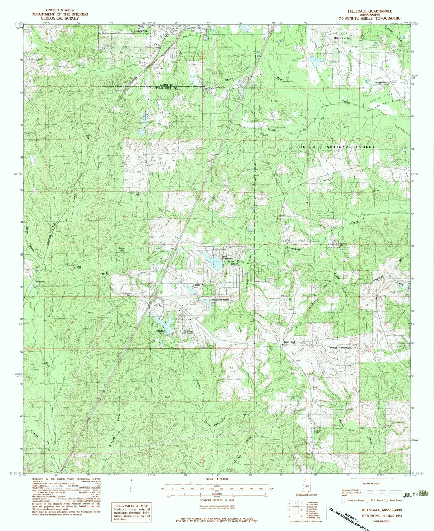
Historical USGS topographic quad map of Hillsdale in the state of Mississippi. Map scale may vary for some years, but is generally around 1:24,000. Print size is approximately 24" x 27"
This quadrangle is in the following counties: Lamar, Pearl River.
The map contains contour lines, roads, rivers, towns, and lakes. Printed on high-quality waterproof paper with UV fade-resistant inks, and shipped rolled.
Contains the following named places: Beall Cemetery, Bee Tree Brake, Boggy Branch, Bushy Prong, Byrd Line Cemetery, Byrd Line School, Carters Reed Brake, Catfish Lake, Dry Branch, Felix Ladner Cemetery, First Baptist Church, Grandpa Brake, Granny Branch, Green Brake, Gum Pond, Happiness Lake, Hickory Creek, Hickory Grove, Hickory Grove Cemetery, Hickory Grove Church, Hickory Grove School, Hillsdale, Hillsdale Golf Course, Hillsdale Lake, J M Rault Lake Dam, John Davis Brake, Ladner Cemetery, Lake Hills Golf Club, Lumberton City Cemetery, Lumberton Elementary School, Lumberton High School, Lumberton Police Department, Lumberton United Methodist Church, Lumpkin Cemetery, Mill Creek, North Central Volunteer Fire Department Station 2, Northeast Volunteer Fire Department Station 1 Headquarters, Northeast Volunteer Fire Department Station 2, Parker Creek, Pearl River County Emergency Communications North Repeater Site, Red Top, Redmond Cemetery, Rouse Field Cemetery, Scrub Creek, Spring Branch, Springhead Branch, Wolf Creek, Wolf River Ranch Airport, Wolf River Ranch Lake