MyTopo
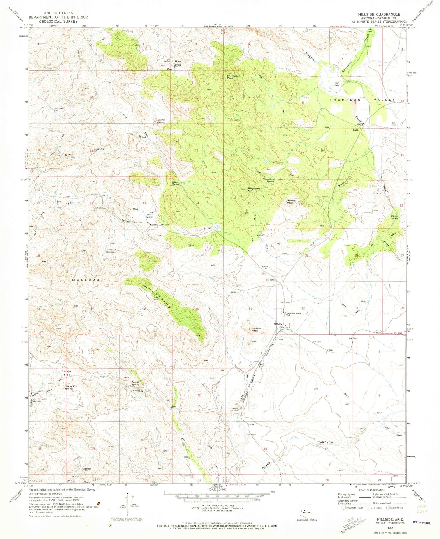
Classic USGS Hillside Arizona 7.5'x7.5' Topo Map
Couldn't load pickup availability
Historical USGS topographic quad map of Hillside in the state of Arizona. Map scale may vary for some years, but is generally around 1:24,000. Print size is approximately 24" x 27"
This quadrangle is in the following counties: Yavapai.
The map contains contour lines, roads, rivers, towns, and lakes. Printed on high-quality waterproof paper with UV fade-resistant inks, and shipped rolled.
Contains the following named places: Ally Wash, Bismark Mountain, Bland Creek, Carter Flat, Carter Flat Spring, Chartz Spring, Eastwood Creek, Hillside, Hillside Elementary School, Hillside Peak, Hillside Railroad Station, Hoover Dam Spring, Kingsbury Mountain, Kingsbury Spring, Laurel Spring, Lawler Spring, McCloud Mountains, McCloud Spring, Mine Tank, Quail Spring, Sadies Peak, Sweetwater Well, Thompson Peak, Thompson Valley, Thompson Valley School, Wild Hog Basin, Yava