MyTopo
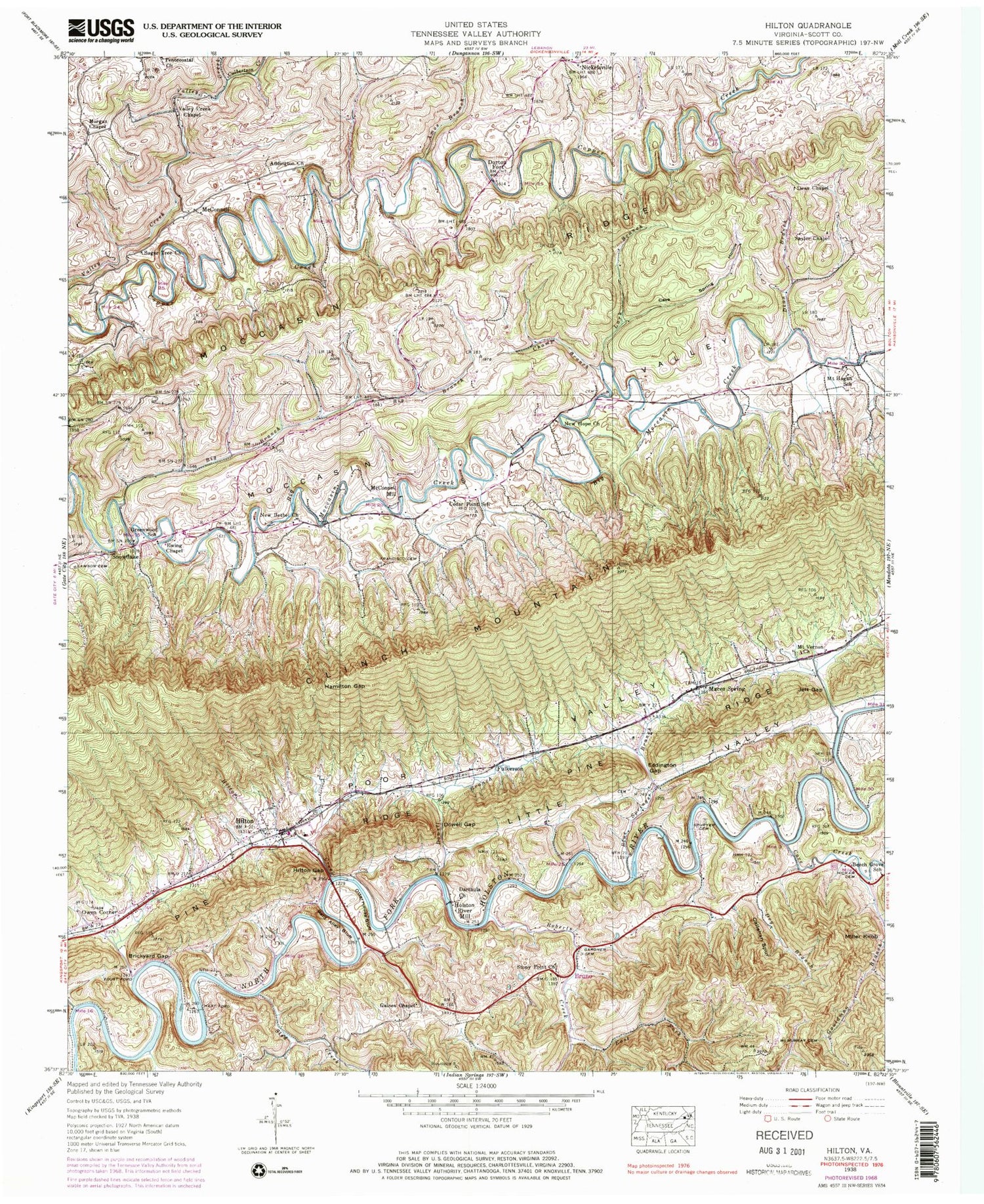
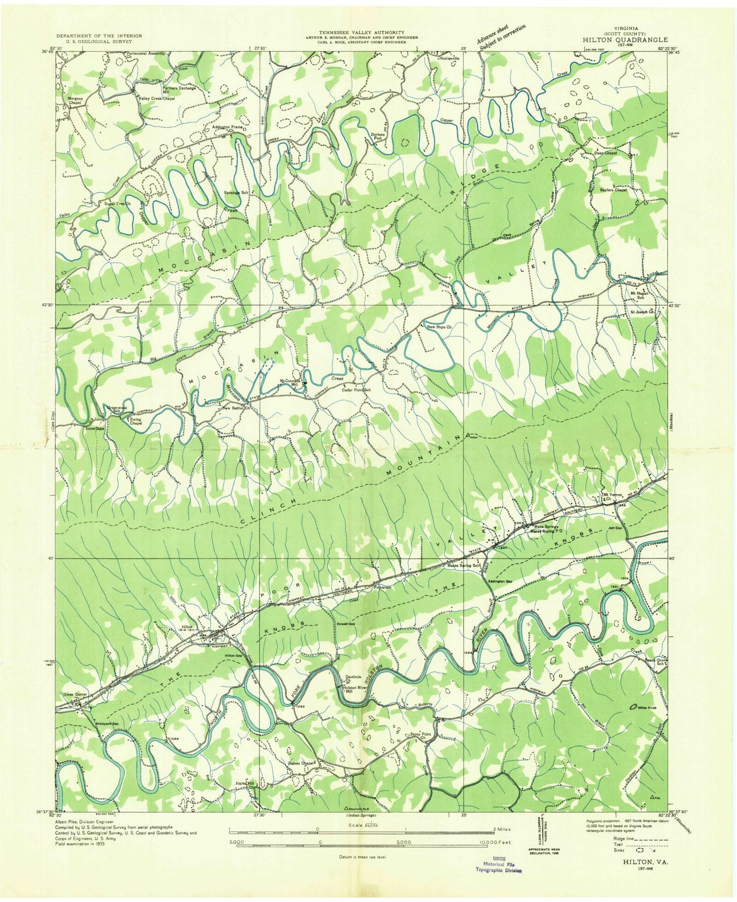
Classic USGS Hiltons Virginia 7.5'x7.5' Topo Map
Couldn't load pickup availability
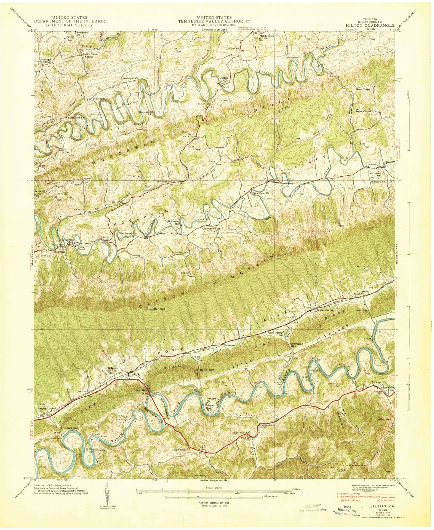
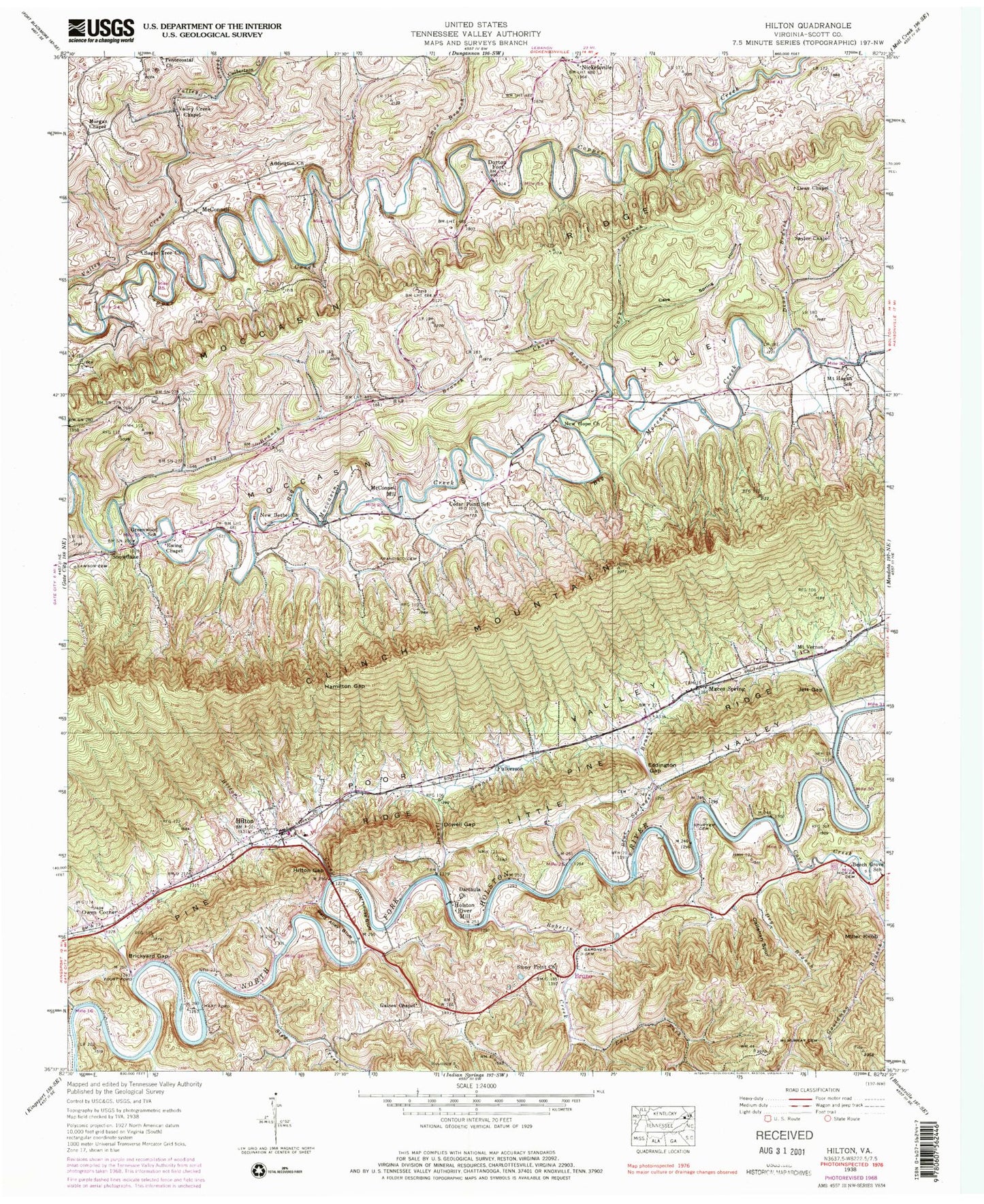
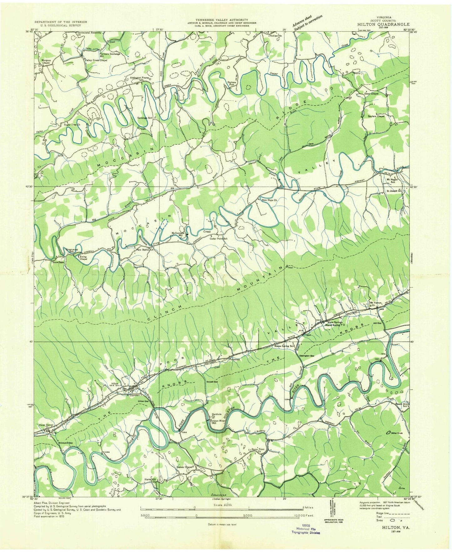
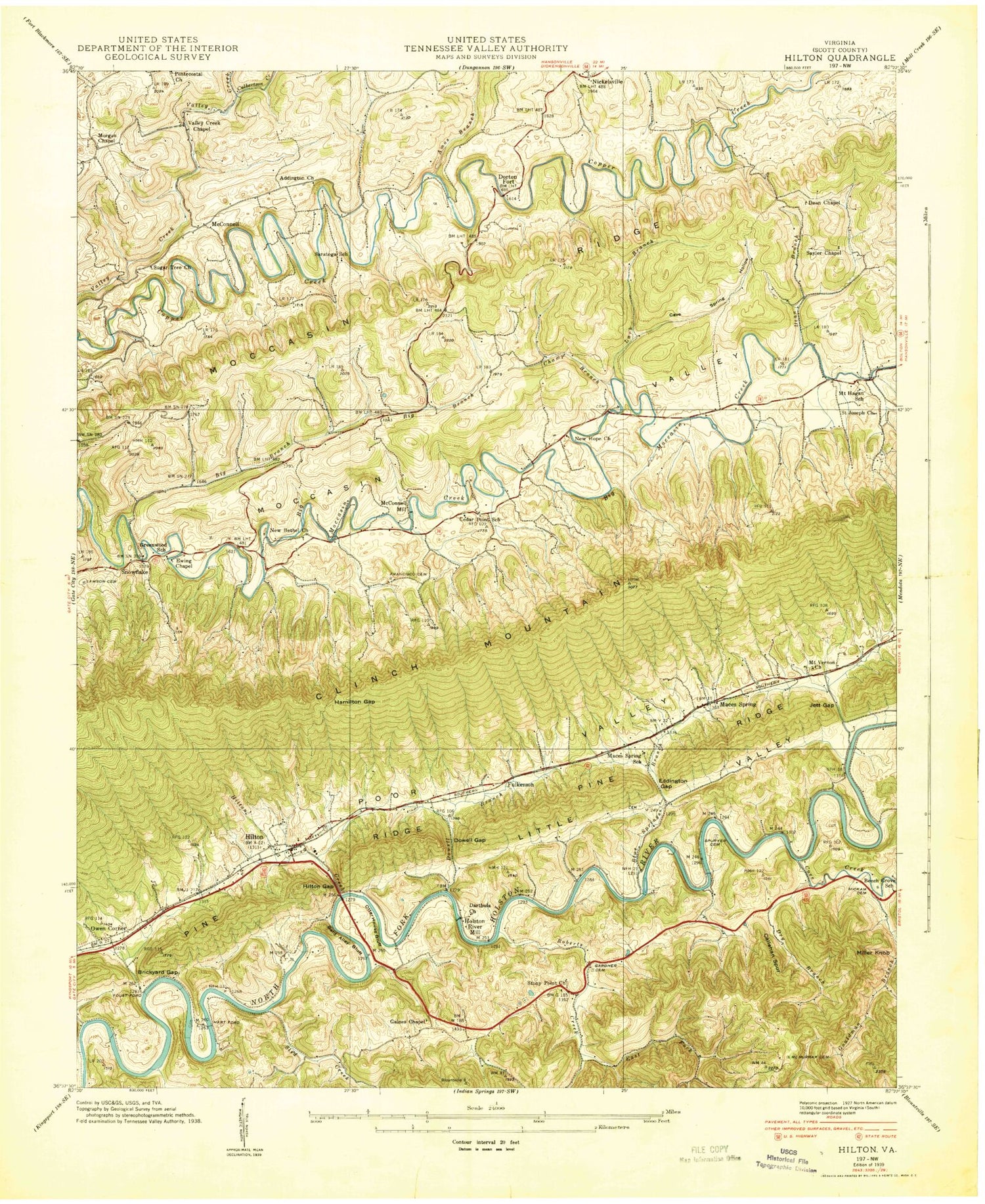
Historical USGS topographic quad map of Hiltons in the state of Virginia. Map scale may vary for some years, but is generally around 1:24,000. Print size is approximately 24" x 27"
This quadrangle is in the following counties: Scott.
The map contains contour lines, roads, rivers, towns, and lakes. Printed on high-quality waterproof paper with UV fade-resistant inks, and shipped rolled.
Contains the following named places: Addington Cemetery, Addington Church, Amos Branch, Bald Alley Bluff, Beech Grove School, Big Branch, Blankenbeckler Cemetery, Blue Springs Branch, Brickyard Gap, Bright Hollow, Bruno, Callahan Spur, Castle Cemetery, Cave Spring Hollow, Cedar Point School, Champ Branch, Cove Creek, Culbertson Creek, Darthula Baptist Church Cemetery, Darthula Church, Davis Cemetery, Dean Branch, Dean Chapel, Dean Family Cemetery, District 2, District 3, Dorton Fort, Dowell Branch, Dowell Gap, Dry Branch, East Fork Roberts Creek, Eddington Gap, Ewing Chapel, Farmers Exchange Mill, Foust Ford, Fowlers Branch, Fraley Cemetery, Francisco Cemetery, Fulkerson, Gaines Chapel, Gardner Cemetery, Gouldman Branch, Greenwood School, Hamilton Gap, Hart Ford, Harts Hill Church, Hickam Cemetery, Hilton Elementary School, Hiltons, Hiltons Census Designated Place, Hiltons Creek, Hiltons Gap, Hiltons Post Office, Hiltons Volunteer Fire Department, Holston River Mill, Jett Gap, Lark Branch, Lawson Cemetery, Little Valley, Maces Spring, Maces Spring School, McConnell, McConnell Mill, McCorkle, McMurray Cemetery, Miller Knob, Moccasin Ridge, Morgan Chapel, Mount Vernon Church, New Bethel Church, New Hope Church, Otter House Bluff, Owen Corner, Pine Ridge, Roberts Creek, Saint Joseph Church, Saratoga School, Sayler Chapel, Sled Creek, Snowflake, Spuryer Cemetery, Stony Point Church, Sugar Tree Church, Valley Creek Chapel, ZIP Codes: 24258, 24271
