MyTopo
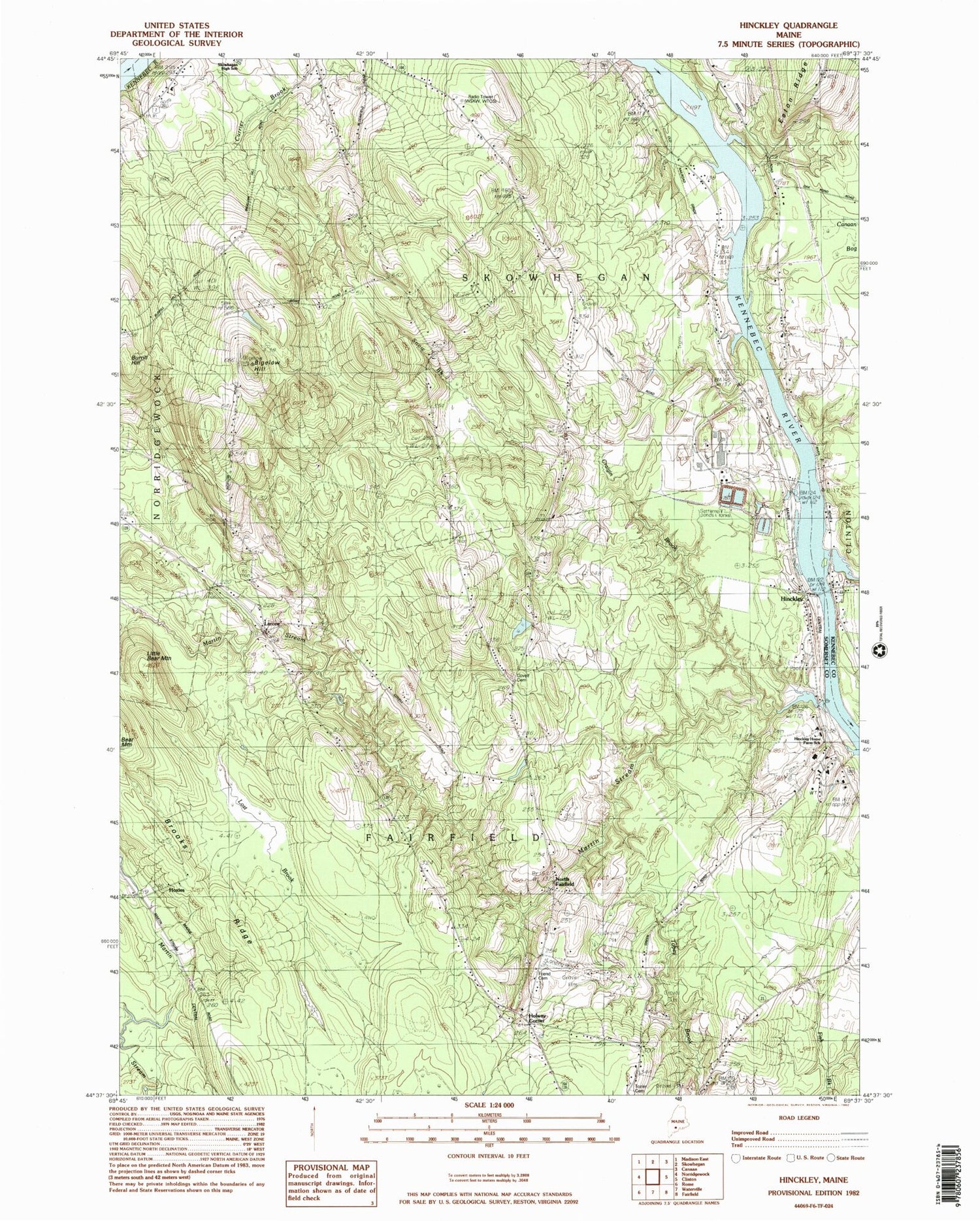
Classic USGS Hinckley Maine 7.5'x7.5' Topo Map
Couldn't load pickup availability
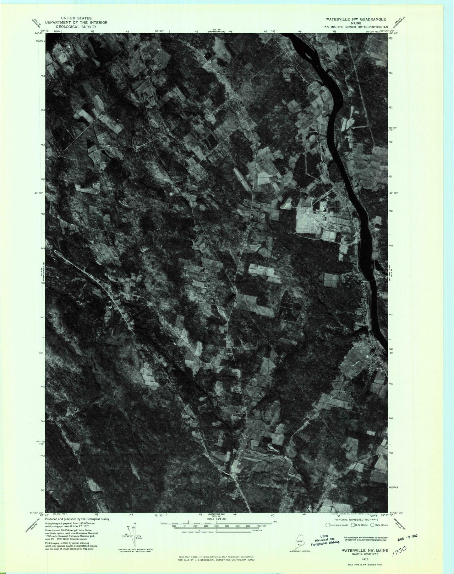
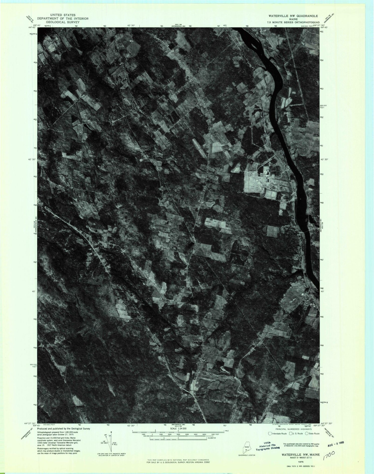
Historical USGS topographic quad map of Hinckley in the state of Maine. Map scale may vary for some years, but is generally around 1:24,000. Print size is approximately 24" x 27"
This quadrangle is in the following counties: Kennebec, Somerset.
The map contains contour lines, roads, rivers, towns, and lakes. Printed on high-quality waterproof paper with UV fade-resistant inks, and shipped rolled.
Contains the following named places: Bigelow Hill, Brooks Ridge, Burrill Hill, Carrabassett Stream, Covell Cemetery, Craigin Brook, Ellis Cemetery, Ferry School, Friend Cemetery, Good Will Hinckley School, Good Will Homes, Hapworths Landing Area, Hinckley, Holway Corner, Hoxies, L C Bates Museum, Larone, Larone Cemetery, Little Bear Mountain, Lost Brook, Martin Stream, North Fairfield, Pishon Ferry, Snow Brook, Town of Fairfield, WEZO-FM (Fairfield), WFMX-FM (Skowhegan), WSKW-AM (Skowhegan), ZIP Codes: 04937, 04944