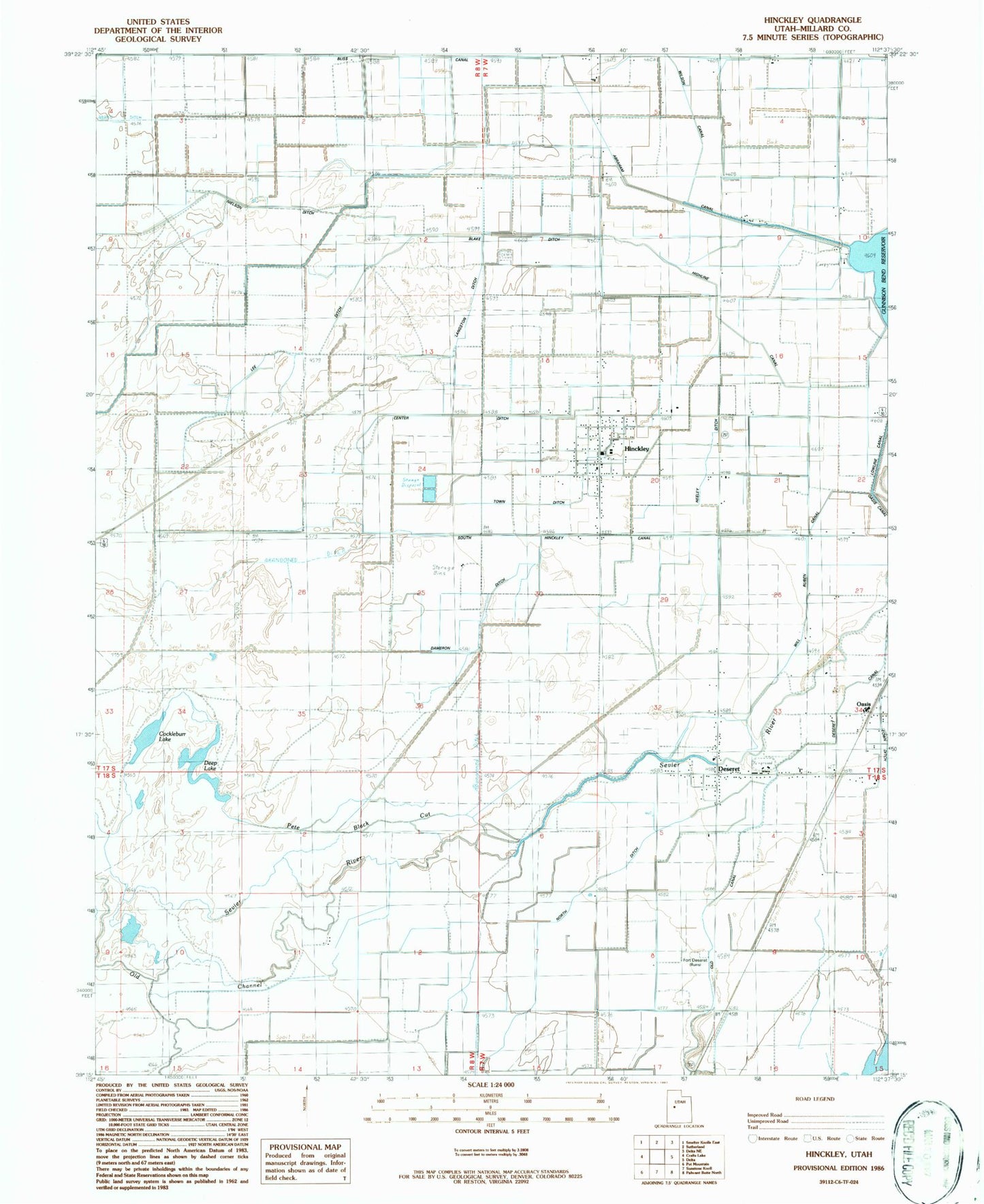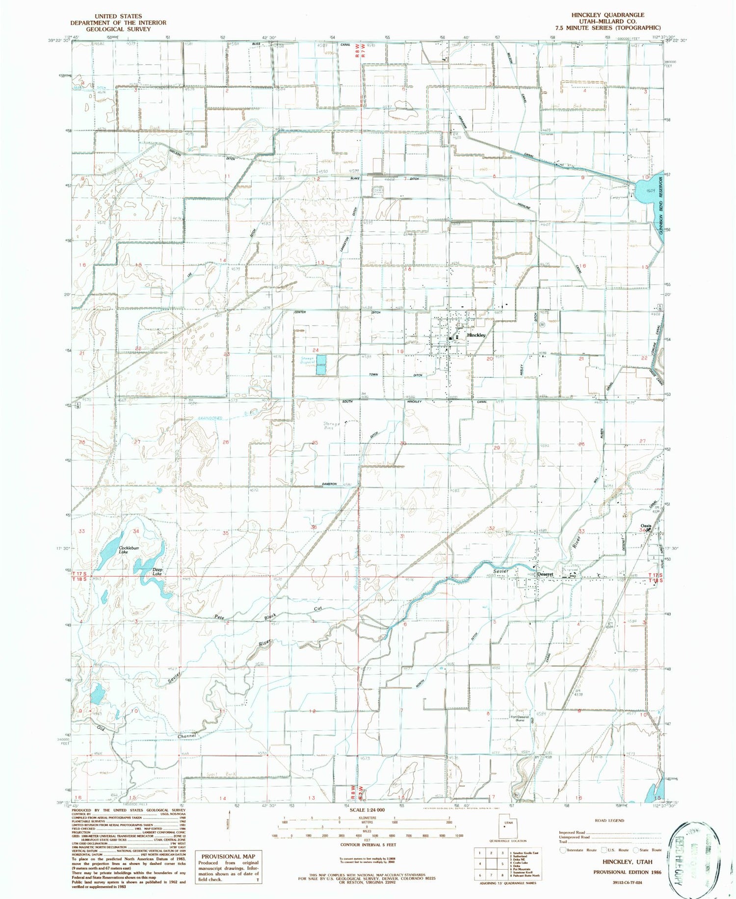
MyTopo
Classic USGS Hinckley Utah 7.5'x7.5' Topo Map
Couldn't load pickup availability
Historical USGS topographic quad map of Hinckley in the state of Utah. Map scale may vary for some years, but is generally around 1:24,000. Print size is approximately 24" x 27"
This quadrangle is in the following counties: Millard.
The map contains contour lines, roads, rivers, towns, and lakes. Printed on high-quality waterproof paper with UV fade-resistant inks, and shipped rolled.
Contains the following named places: Blake Ditch, Bliss Canal, Center Ditch, Cockleburr Lake, Dameron Ditch, Deep Lake, Deseret, Deseret Canal, Deseret Census Designated Place, Deseret City Cemetery, Fort Deseret State Park, Highline Canal, Hinckley, Hinckley City Cemetery, Hinckley Fire Department, Hinckley Post Office, Langston Ditch, Lee Ditch, Lowline Canal, Neeley Ditch, Nielson Ditch, North Ditch, Oasis, Oasis Census Designated Place, Old Canal, Old Channel, Pete Black Cut, South Hinckley Canal, The Church of Jesus Christ of Latter Day Saints, Town Ditch, Town of Hinckley, Will Ruben Canal