
MyTopo
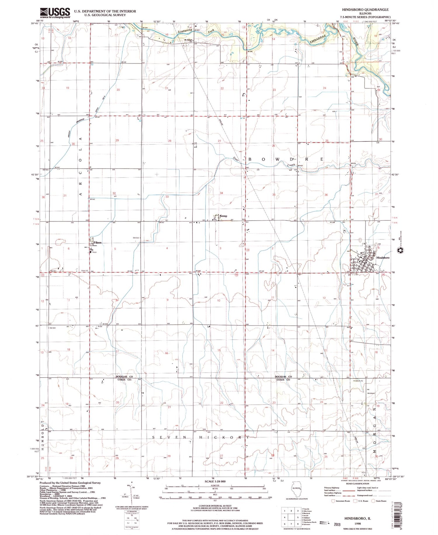
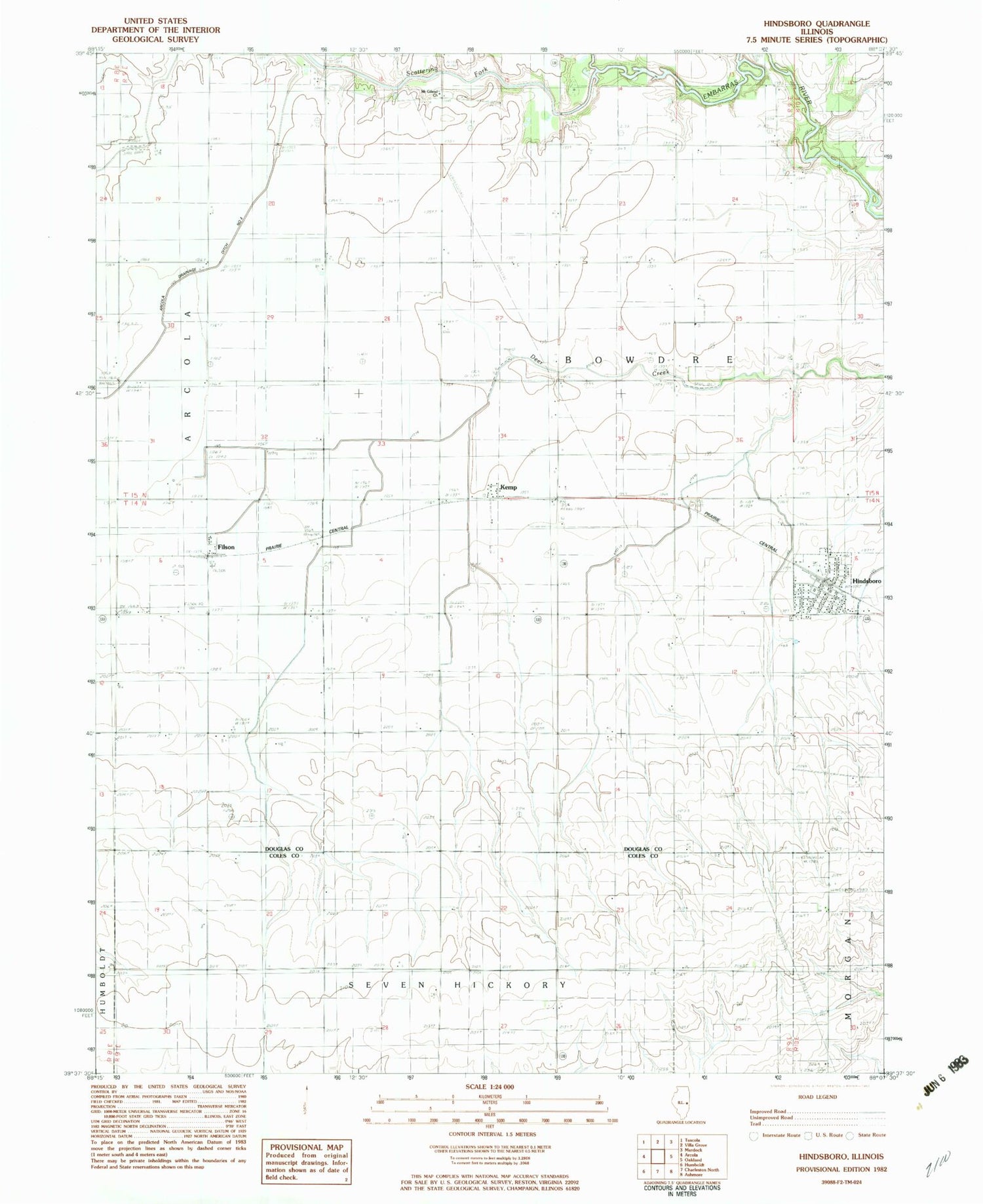
Classic USGS Hindsboro Illinois 7.5'x7.5' Topo Map
Couldn't load pickup availability
Historical USGS topographic quad map of Hindsboro in the state of Illinois. Map scale may vary for some years, but is generally around 1:24,000. Print size is approximately 24" x 27"
This quadrangle is in the following counties: Coles, Douglas.
The map contains contour lines, roads, rivers, towns, and lakes. Printed on high-quality waterproof paper with UV fade-resistant inks, and shipped rolled.
Contains the following named places: Arcola Drainage Ditch Number 4, Ashland School, Chocktaw School, Dickey School, Dry Point School, Duffle School, Eversole School, Filson, Filson Post Office, Filson School, Hemingway School, Henson Pond, Hindsboro, Hindsboro Christian Church, Hindsboro Community Fire Protection District, Hindsboro Post Office, Kemp, Kemp Post Office, Mount Gilead United Methodist Church, Scattering Fork, Shiloh School, Town Line School, Township of Bowdre, Village of Hindsboro, Wheatley School, ZIP Code: 61930


