MyTopo
Classic USGS Hinsdale New York 7.5'x7.5' Topo Map
Couldn't load pickup availability
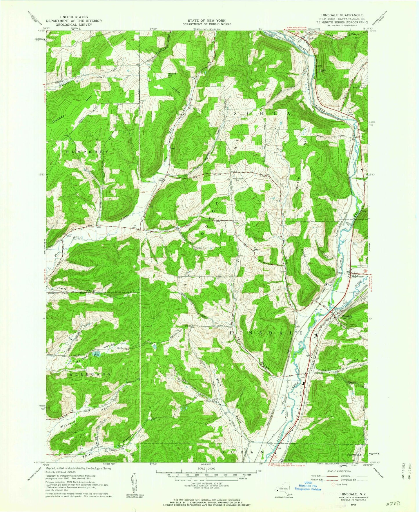
Historical USGS topographic quad map of Hinsdale in the state of New York. Map scale may vary for some years, but is generally around 1:24,000. Print size is approximately 24" x 27"
This quadrangle is in the following counties: Cattaraugus.
The map contains contour lines, roads, rivers, towns, and lakes. Printed on high-quality waterproof paper with UV fade-resistant inks, and shipped rolled.
Contains the following named places: Baxter Mill Road Bridge, Bozard Hill, Cherry Valley, Childs Blueberry Farm, Dutch Hill, Farwell Hollow, Fay Hollow, Gull Brook, Hillview Village Mobile Home Park, Hinsdale, Hinsdale Cemetery, Hinsdale Central School, Hinsdale Maplehurst and Pleasant Valley Volunteer Fire Department, Hinsdale Post Office, Hinsdale United Methodist Church, Ischua, Ischua Creek, Ischua Fire Department, Ischua Union Church, Maple Hill, Maple Hill Cemetery, Maplehurst, Maplehurst Baptist Church, McClure Hollow, Oil Creek, Pleasant Valley Cemetery, Saint Helen Roman Catholic Church, Scott Branch, Smith Hollow, Town of Hinsdale, Town of Ischua, Union Valley, Union Valley Church, Vee Pond, ZIP Code: 14743