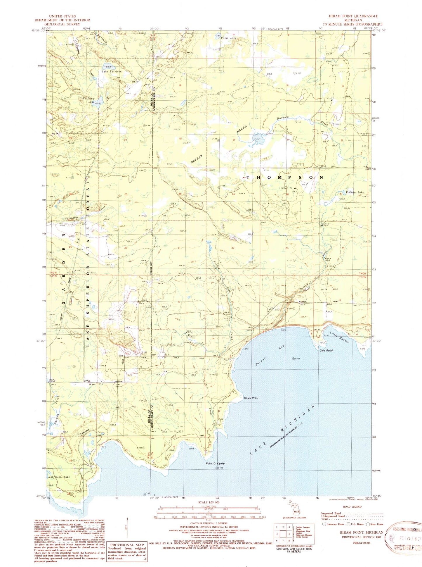
MyTopo
Classic USGS Hiram Point Michigan 7.5'x7.5' Topo Map
Couldn't load pickup availability
Historical USGS topographic quad map of Hiram Point in the state of Michigan. Map scale may vary for some years, but is generally around 1:24,000. Print size is approximately 24" x 27"
This quadrangle is in the following counties: Delta, Schoolcraft.
The map contains contour lines, roads, rivers, towns, and lakes. Printed on high-quality waterproof paper with UV fade-resistant inks, and shipped rolled.
Contains the following named places: Birch Creek, Bursaw Marsh, Cole Point, Farley Grave Site, Halfmoon Lake, Halfway Lake, Hiram Point, Lake Thirteen, Little Harbor, Little Harbor Post Office, Makel Lake, Manistique River State Forest, McGinn Lake, Parent Bay, Parent Creek, Point O'Keefe, Poodle Pete Creek, Township of Thompson, Trail Creek