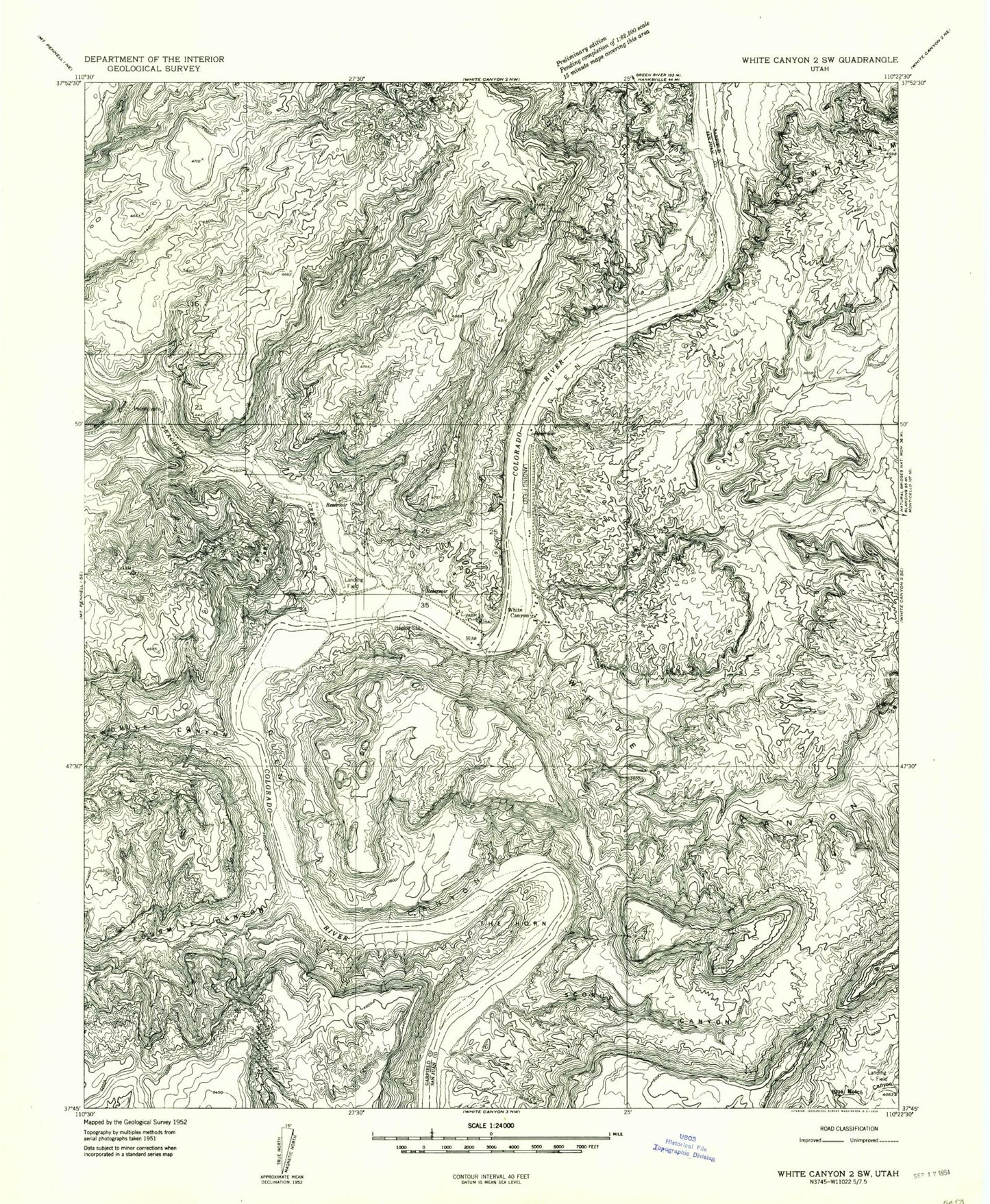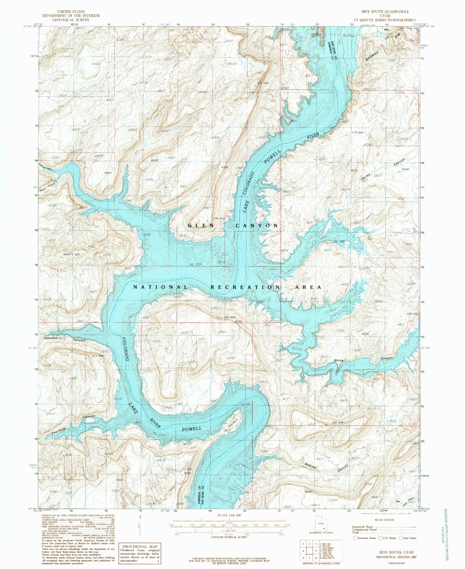
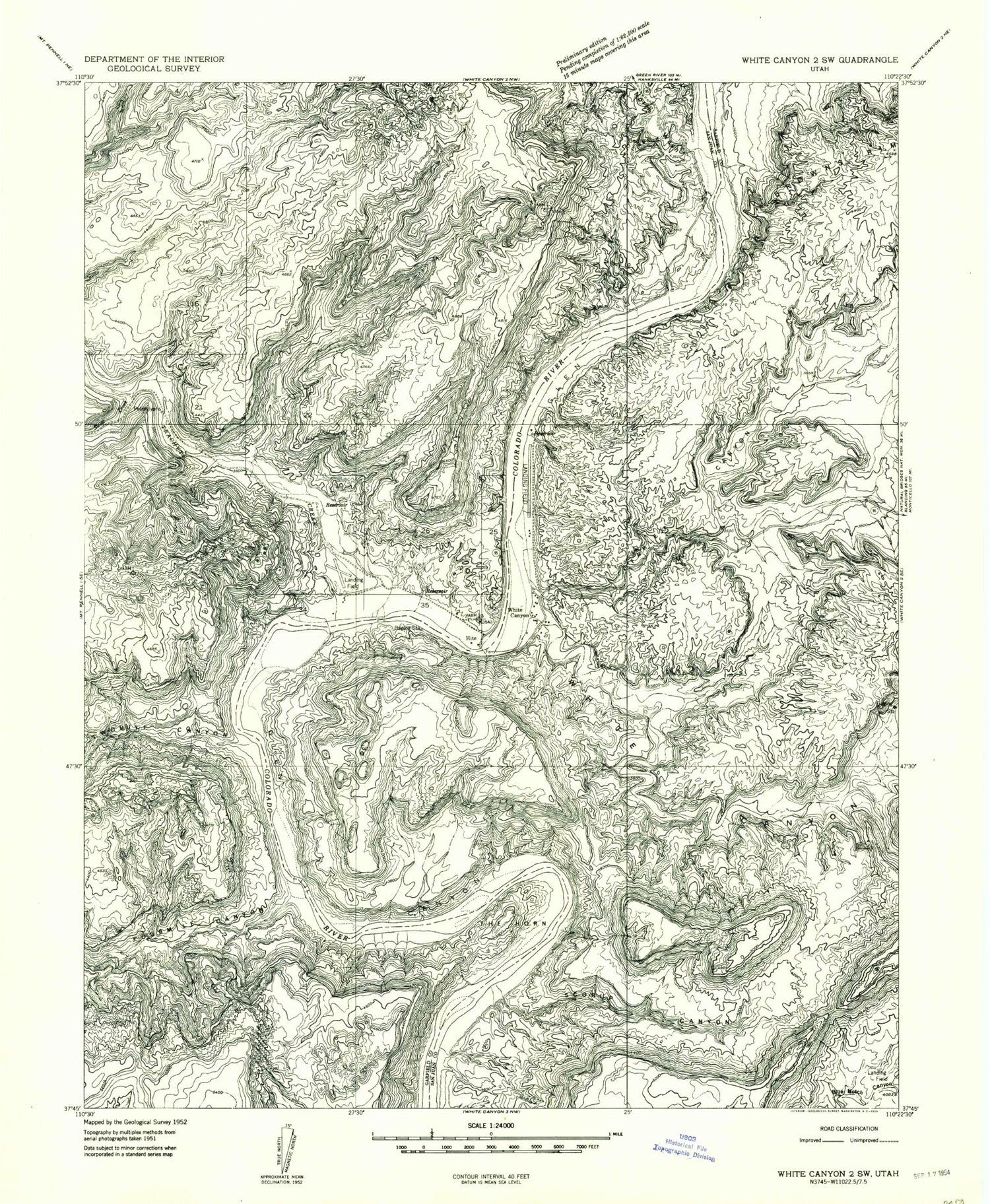
MyTopo
Classic USGS Hite South Utah 7.5'x7.5' Topo Map
Regular price
$16.95
Regular price
Sale price
$16.95
Unit price
per
Couldn't load pickup availability
Historical USGS topographic quad map of Hite South in the state of Utah. Map scale may vary for some years, but is generally around 1:24,000. Print size is approximately 24" x 27"
This quadrangle is in the following counties: Garfield, San Juan.
The map contains contour lines, roads, rivers, towns, and lakes. Printed on high-quality waterproof paper with UV fade-resistant inks, and shipped rolled.
Contains the following named places: Dandy Crossing, Farley Canyon, Fourmile Canyon, Hite, Hite Marina, Hite Marina Campground, North Wash, Red Monument, Scorup Canyon, Swett Creek, The Horn, Trachyte Creek, Twomile Canyon, White Canyon, White Canyon Creek