MyTopo
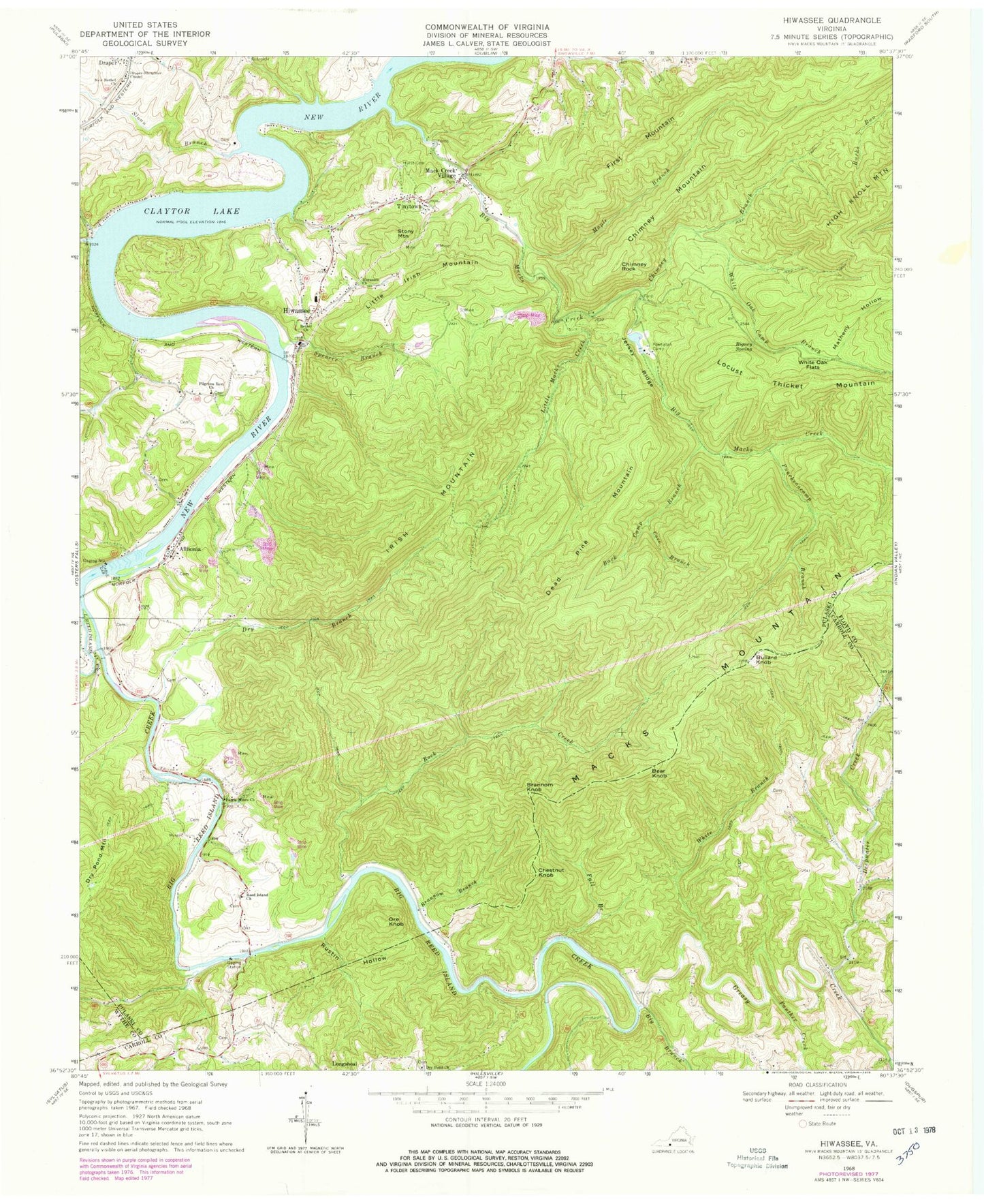
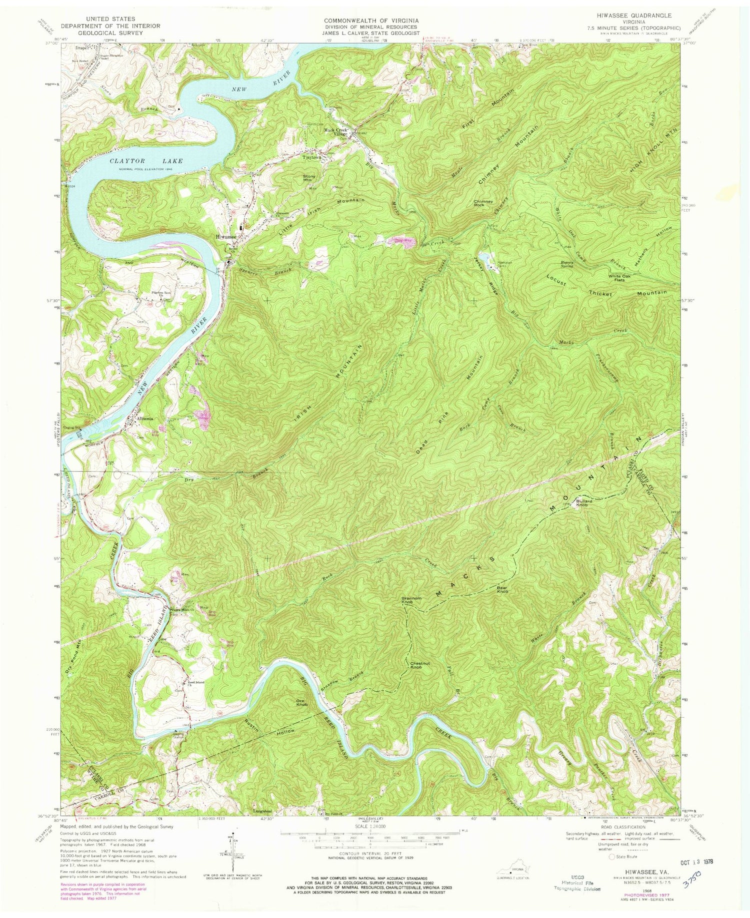
Classic USGS Hiwassee Virginia 7.5'x7.5' Topo Map
Couldn't load pickup availability
Historical USGS topographic quad map of Hiwassee in the state of Virginia. Typical map scale is 1:24,000, but may vary for certain years, if available. Print size: 24" x 27"
This quadrangle is in the following counties: Carroll, Floyd, Pulaski, Wythe.
The map contains contour lines, roads, rivers, towns, and lakes. Printed on high-quality waterproof paper with UV fade-resistant inks, and shipped rolled.
Contains the following named places: Bark Camp Branch, Bethel Church, Big Branch, Big Macks Creek, Big Reed Island Creek, Brannom Branch, Chestnut Knob, Chimney Branch, Chimney Mountain, Chimney Rock, Cove Branch, Deepwater Creek, Draper Slaughter Chapel, Dry Branch, Dry Pond Church, Fall Branch, Farris Mines Church, First Mountain, Greasy Creek, High Knoll Mountain, Hiwassee Church, Hurst Cemetery, Irish Mountain, Jersey Ridge, Little Irish Mountain, Little Macks Creek, Mack Creek Village, Macks Mountain, Maple Branch, New Bethel Church, New River Church, Panther Creek, Pilgrims Rest Church, Powhatan Camp, Puncheoncamp Branch, Reed Island Church, Rigney Spring, Rock Creek, Rustin Hollow, Matheny Hollow, Spencer Branch, Tinytown, White Branch, White Oak Camp Branch, White Oak Flats, Little Reed Island Creek, Sloan Branch, Lake Powhatan Dam, Lake Powhatan, Dry Pond Mountain, Allisonia, Bear Knob, Brannom Knob, Bullard Knob, Dead Pine Mountain, Hiwassee, Locust Thicket Mountain, Ore Knob, Stony Mountain, Rich Hill School (historical), Allisonia Methodist Church, Dry Pond Cemetery, Jimmy Marshall Cemetery, Marshall Cemetery, Marshall Cemetery, Phillips Cemetery, Shelton Chapel (historical), Simpkins Cemetery, Smith Cemetery, Allisonia Census Designated Place, Hiwassee Census Designated Place, Regional EMS - Hiwassee Base, Hiwassee Volunteer Fire Department, Hiwassee Post Office


