MyTopo
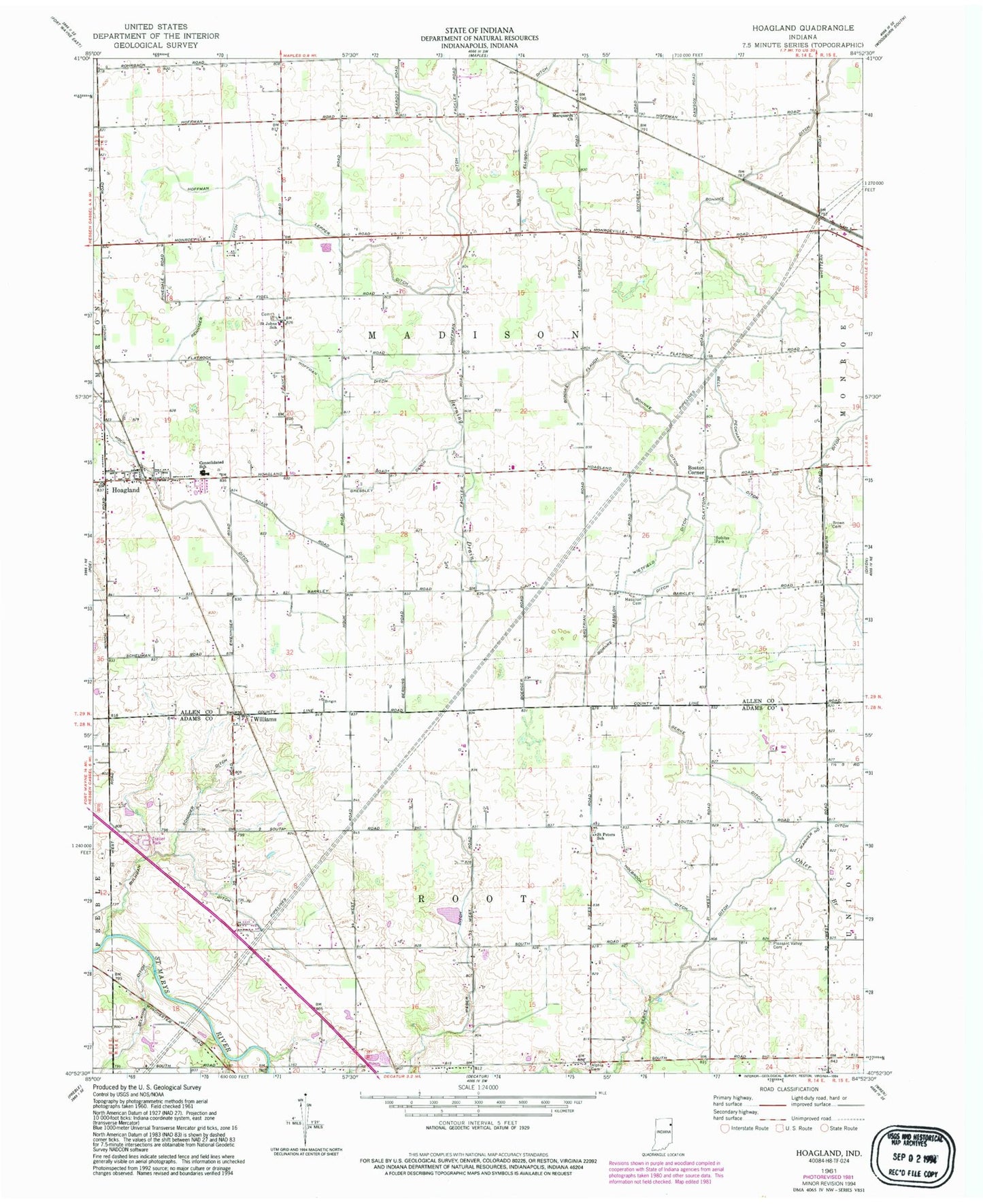
Classic USGS Hoagland Indiana 7.5'x7.5' Topo Map
Couldn't load pickup availability
Historical USGS topographic quad map of Hoagland in the state of Indiana. Map scale may vary for some years, but is generally around 1:24,000. Print size is approximately 24" x 27"
This quadrangle is in the following counties: Adams, Allen.
The map contains contour lines, roads, rivers, towns, and lakes. Printed on high-quality waterproof paper with UV fade-resistant inks, and shipped rolled.
Contains the following named places: Adams County Sand and Gravel Pit, Alpha Cemetery, Bell Peckham Ditch, Berning Drain, Bobilya Park, Bohnke Ditch, Bohnke Flauch Drain, Boston Corner, Brown Ditch, Brown Family Cemetery, Bulhman Schoder Ditch, Consolidated School, Gerke Ditch, Gressley Ditch, Hoagland, Hoagland Census Designated Place, Hoagland Fire Department and Emergency Medical Services, Hoagland Post Office, Hoffman Ditch, Hoffman Lepper Ditch, Holbrock Ditch, Marquardt Church, Massillion Evangelical Lutheran Cemetery, Ohler Branch, Pleasant Valley Cemetery, Renniger Ditch, Saint Johns Lutheran Flat Rock Cemetery, Saint Johns School, Saint Peter-Immanuel Lutheran School, Selking Ditch, Township of Madison, Township of Root, Valhalla Airport, Wagner Number One Ditch, Weber Ditch, Wietfield Ditch, Williams, ZIP Code: 46773


