MyTopo
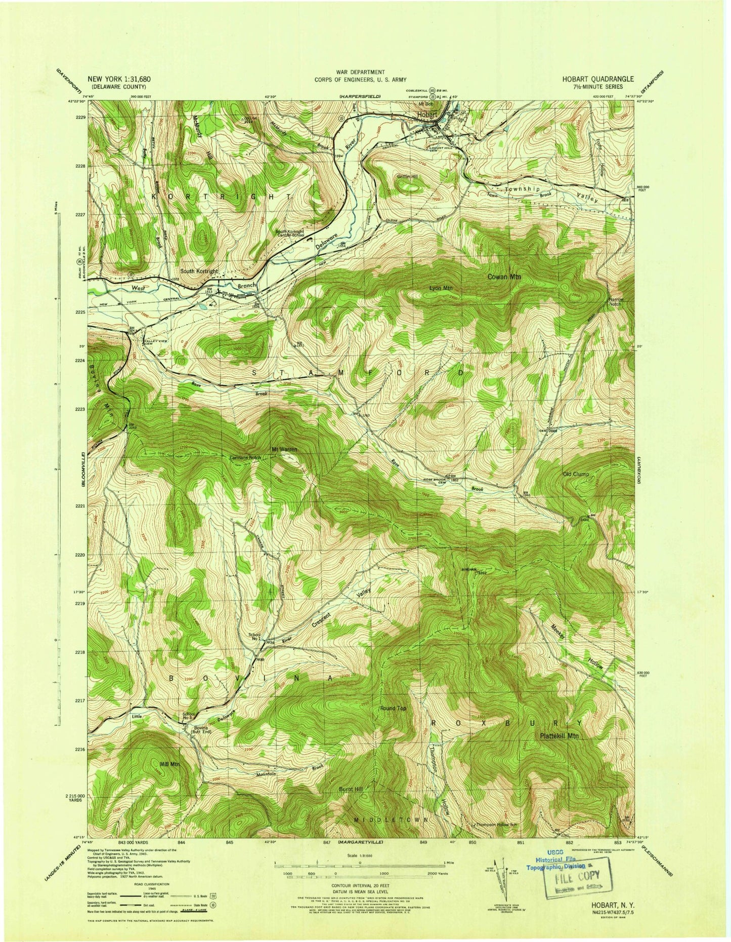
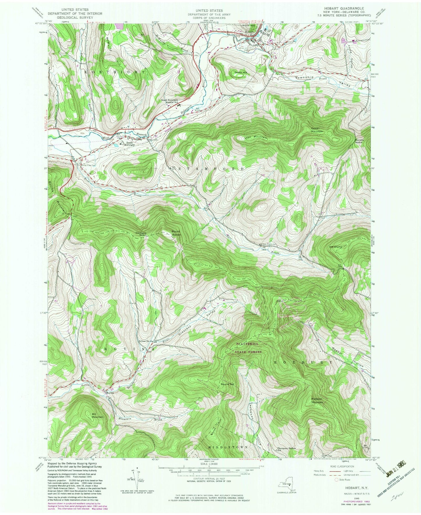
Classic USGS Hobart New York 7.5'x7.5' Topo Map
Couldn't load pickup availability
Historical USGS topographic quad map of Hobart in the state of New York. Typical map scale is 1:24,000, but may vary for certain years, if available. Print size: 24" x 27"
This quadrangle is in the following counties: Delaware.
The map contains contour lines, roads, rivers, towns, and lakes. Printed on high-quality waterproof paper with UV fade-resistant inks, and shipped rolled.
Contains the following named places: Betty Brook, Burnt Hill, Carmans Notch, Cowan Mountain, Crescent Hollow, Foote Hollow, Griffin Hill, Hobart, Lake Brook, Locust Hill Cemetery, Lyon Mountain, McMurdy Brook, McMurdy Hill, Mill Mountain, Mountain Brook, Narrow Notch, Old Clump, Plattekill Mountain, Roses Brook Cemetery, Round Top, South Kortright, South Kortright Central School, Thompson Hollow School, Township Valley, Valley View Cemetery, Mount Warren, Bovina Mountain, Town Brook, Bovina, School Number 4 (historical), Town of Stamford, School Number 3 (historical), Village of Hobart, Relay Cemetery, Hand-In-Hand Farm, Top Of The Hill Nurseries, Stone Tavern Farm, Schuman Farms, Good Shepherd Chapel, Hobart United Methodist Church, Hobart Post Office, Allen Residential Center, Hobart Fire Department, South Kortright Volunteer Fire Department