MyTopo
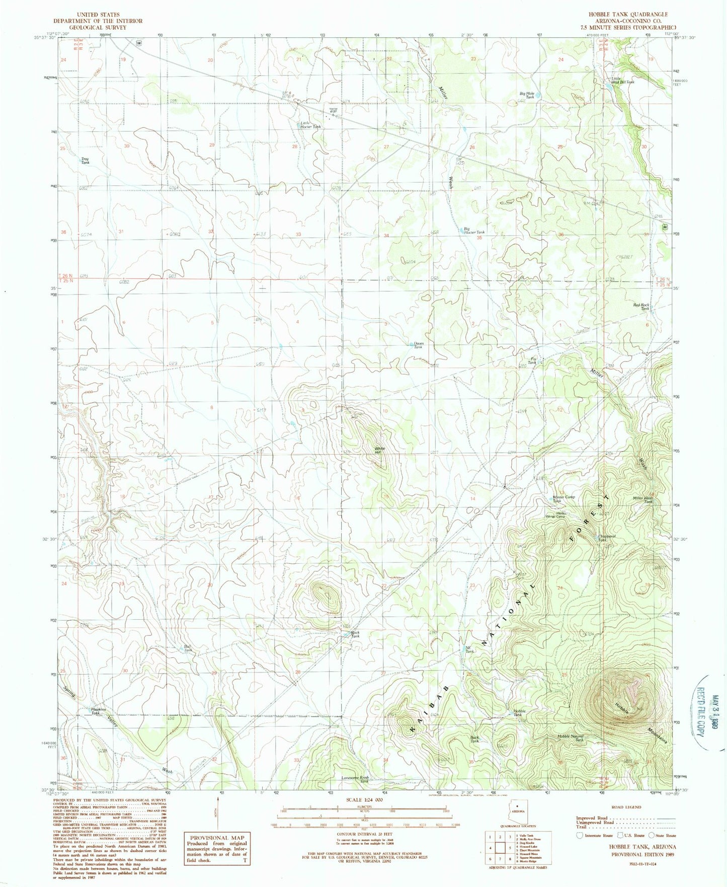
Classic USGS Hobble Tank Arizona 7.5'x7.5' Topo Map
Couldn't load pickup availability
Historical USGS topographic quad map of Hobble Tank in the state of Arizona. Map scale may vary for some years, but is generally around 1:24,000. Print size is approximately 24" x 27"
This quadrangle is in the following counties: Coconino.
The map contains contour lines, roads, rivers, towns, and lakes. Printed on high-quality waterproof paper with UV fade-resistant inks, and shipped rolled.
Contains the following named places: Big Hocter Tank, Big Hole Tank, Buck Tank, Bull Tank, Chalender Ranger District, Chapparal Tank, Daves Tank, Fix Tank, Hardy Winter Camp, Hawkins Tank, Hobble Mountains, Hobble Natural Tank, Hobble Tank, Little Hocter Tank, Little Wild Bill Tank, Lonesome Knob Tank, Miller Wash Tank, NE Tank, Northeast Tank, Red Rock Tank, Rock Tank, Troy Tank, White Hill, Winter Camp Tank